Central Oshawa in Durham Region, Ontario — Central Canada (North America)
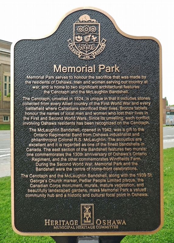
Memorial Park
Memorial Park serves to honour the sacrifice that was made by the residents of Oshawa, men and women serving our country at war, and is home to two significant architectural features: the Cenotaph and the McLaughlin Bandshell.
The Cenotaph, unveiled in 1924, is unique in that it includes stones collected from every Allied country of the First World War and every battlefield where Canadians sacrificed their lives. Bronze tablets honour the names of local men and women who lost their lives in the First and Second World Wars. Since its unveiling, each conflict involving Oshawa residents has been recognized on the Cenotaph.
The McLaughlin Bandshell, opened in 1942, was a gift to the Ontario Regimental Band from Oshawa industrialist and philanthropist Colonel R.S. McLaughlin. The acoustics are excellent and it is regarded as one of the finest bandshells in Canada. The east section of the Bandshell features two murals: one commemorates the 130th anniversary of Oshawa’s Ontario Regiment, and the other commemorates Windfields Farm. During the Second World War, Memorial Park and the Bandshell were the centre of home-front celebrations.
The Cenotaph and the McLaughlin Bandshell, along with the 1939 St. George’s Church marker, Pedlar People Limited plaque, the Canadian Corps monument, murals, mature vegetation, and beautifully landscaped gardens, make Memorial Park a valued community hub and a historic and cultural focal point in Oshawa.
Erected by Heritage Oshawa, Municipal Heritage Committee.
Topics. This historical marker is listed in these topic lists: Parks & Recreational Areas • Patriots & Patriotism • War, World I • War, World II. A significant historical year for this entry is 1920.
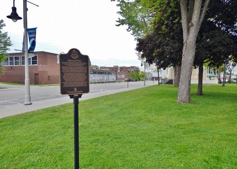
Location. 43° 53.663′ N, 78° 51.842′ W. Marker is in Oshawa, Ontario, in Durham Region. It is in Central Oshawa. Marker is on Metcalfe Street just east of Center Street South (Provincial Highway 2A) when traveling east. Marker is located near the northwest corner of Oshawa Memorial Park. Touch for map. Marker is at or near this postal address: 110 Simcoe Street South, Oshawa ON L1H 7M7, Canada. Touch for directions.
Other nearby markers. At least 8 other markers are within walking distance of this marker. Canadian Corps Association (within shouting distance of this marker); McLaughlin Band Shell (within shouting distance of this marker); St. George's Church (within shouting distance of this marker); Ontario Regiment 130 Years of Service (about 90 meters away, measured in a direct line); Recreation by the Lake (about 240 meters away); Steeple Bell (approx. 0.2 kilometers away); City of Oshawa (approx. 0.3 kilometers away); Oshawa 1935 (approx. 0.3 kilometers away). Touch for a list and map of all markers in Oshawa.
Related markers. Click here for a list of markers that are related to this marker. Oshawa Memorial Park
Also see . . . Memorial Park.
Home to the War Memorial and the McLaughlin Band Shell, Memorial Park makes up the cultural heart of downtown Oshawa.(Submitted on July 9, 2023, by Cosmos Mariner of Cape Canaveral, Florida.)

Photographed By Cosmos Mariner, May 27, 2022
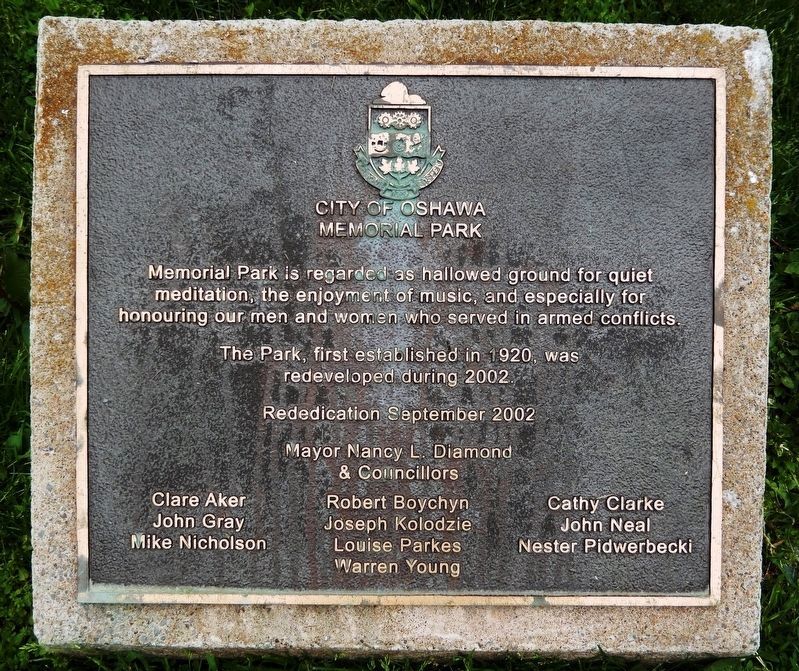
3. City of Oshawa Memorial Park
Memorial Park is regarded as hallowed ground for quiet meditation, the enjoyment of music, and especially for honouring our men and women who served in armed conflicts.
The Park, first established in 1920, was
redeveloped during 2002.
Rededication September 2002
Mayor Nancy L. Diamond
& Councillors
Clare Aker • Robert Boychyn • Cathy Clarke • John Gray • Joseph Kolodzie • John Neal • Mike Nicholson • Louise Parkes • Nester Pidwerbecki • Warren Young
Credits. This page was last revised on July 10, 2023. It was originally submitted on July 9, 2023, by Cosmos Mariner of Cape Canaveral, Florida. This page has been viewed 76 times since then and 20 times this year. Photos: 1, 2, 3. submitted on July 9, 2023, by Cosmos Mariner of Cape Canaveral, Florida.

