Central Oshawa in Durham Region, Ontario — Central Canada (North America)
Steeple Bell
Photographed by Cosmos Mariner, May 27, 2022
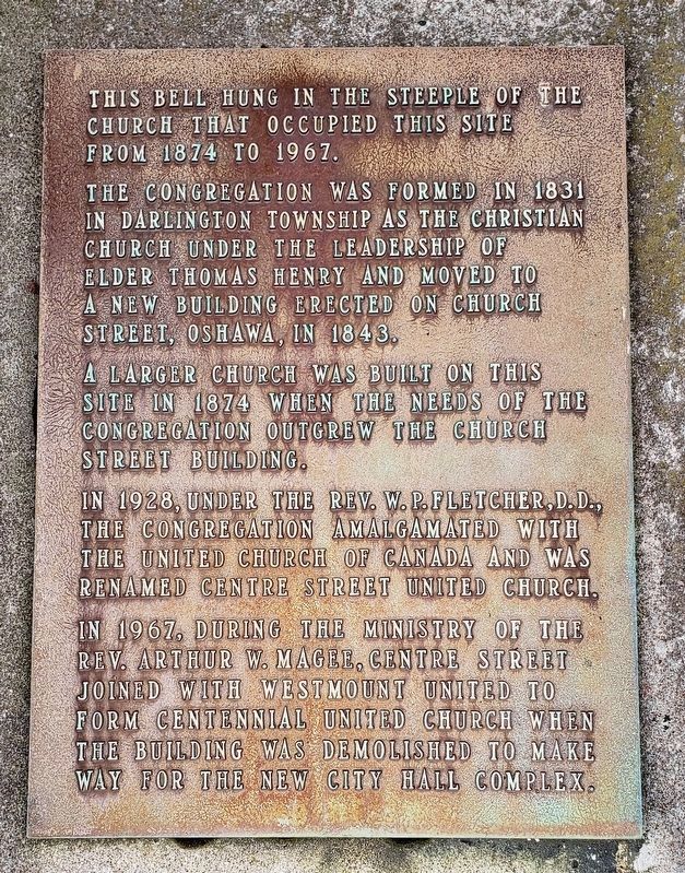
1. Steeple Bell Marker
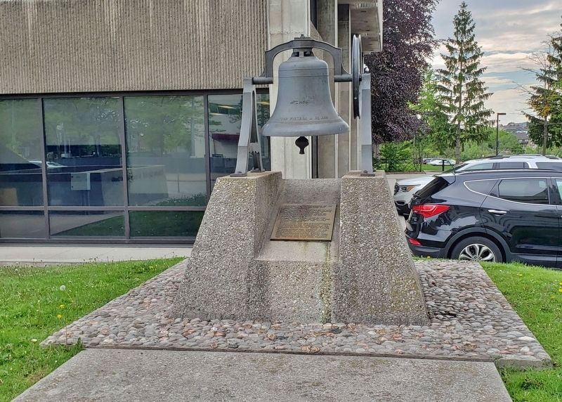
This bell hung in the steeple of the church that occupied this site from 1874 to 1967.
The congregation was formed in 1831 in Darlington Township as the Christian Church under the leadership of Elder Thomas Henry and moved to a new building erected on Church Street, Oshawa, in 1843.
A larger church was built on this site in 1874 when the needs of the congregation outgrew the Church Street building.
In 1928, under the Rev. W. P. Fletcher, D.D., the congregation amalgamated with the United Church of Canada and was renamed Centre Street United Church.
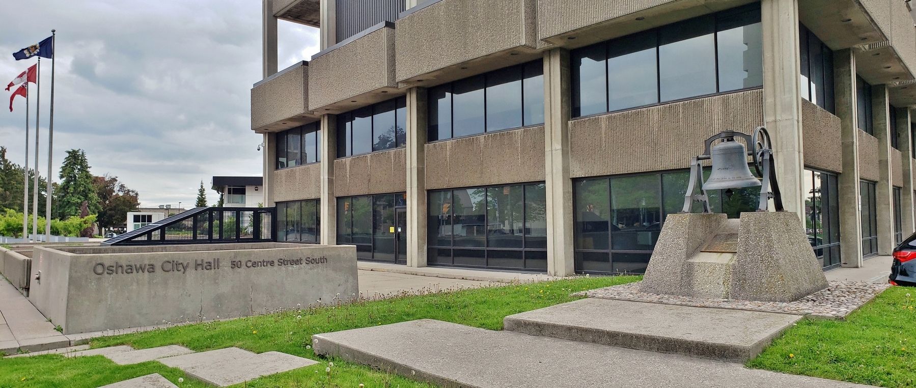
In 1967, during the ministry of the Rev. Arthur W. Magee, Centre Street joined with Westmount United to form Centennial United Church when the building was demolished to make way for the new City Hall complex.
Topics and series. This historical marker is listed in this topic list: Religion & Religious Structures. In addition, it is included in the Historic Bells series list. A significant historical year for this entry is 1874.
Location. 43° 53.783′ N, 78° 51.93′ W. Marker is in Oshawa, Ontario, in Durham Region. It is in Central Oshawa. It is on Centre Street South (Provincial Highway
this page online

Regionally, this marker is in Greater Toronto, specifically on the Golden Horseshoe, in the York, Durham and Headwaters Area, and in the Toronto Metropolitan Area. It is also in Central Canada. Globally, it is in North America, on the Great Lakes, in the Western Hemisphere, in the Western World, and in the Anglosphere. Historically, it finds itself in what was once a British colony, the Viceroyalty of New France, the Haudenosaunee (Iroquois) Confederacy, and Rupert’s Land.
Other nearby markers. At least 8 other markers are within walking distance of this marker: City of Oshawa (within shouting distance of this marker); Oshawa 1935 (about 120 meters away, measured in a direct line); Oshawa's Famous "Generals" (about 120 meters away); Victorian Order of Nurses 100th Anniversary (about 120 meters away); Kingston Road Stage Coach (about
Photographed by Cosmos Mariner, May 27, 2022
2. Steeple Bell & Marker
Photographed by Cosmos Mariner, May 27, 2022
3. Oshawa City Hall (northeast elevation)
Credits. This page was last revised on July 10, 2023. It was originally submitted on July 10, 2023, by Cosmos Mariner of Cape Canaveral, Florida. This page has been viewed 160 times since then and 18 times this year. Photos: 1, 2, 3. submitted on July 10, 2023, by Cosmos Mariner of Cape Canaveral, Florida.
