Roanoke, Virginia — The American South (Mid-Atlantic)
Agatha Strother Lewis/Col. Elijah McClanahan
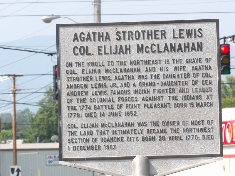
Inscription.
On the knoll to the northeast is the grave of
Col. Elijah McClanahan and his wife, Agatha
Strother Lewis. Agatha was the daughter of Col.
Andrew Lewis, Jr. and a grand-daughter of Gen.
Andrew Lewis, famous Indian fighter and leader
of the Colonial forces against the Indians at
the 1774 Battle of Point Pleasant. Born 15 March
1779; died 14 June 1852.
Col. Elijah McClanahan was the owner of most of the land that ultimately became the northwest section of Roanoke City. Born 20 April 1770; died 1 December 1857.
Topics. This historical marker is listed in these topic lists: Cemeteries & Burial Sites • Settlements & Settlers • War, US Revolutionary. A significant historical date for this entry is March 15, 1779.
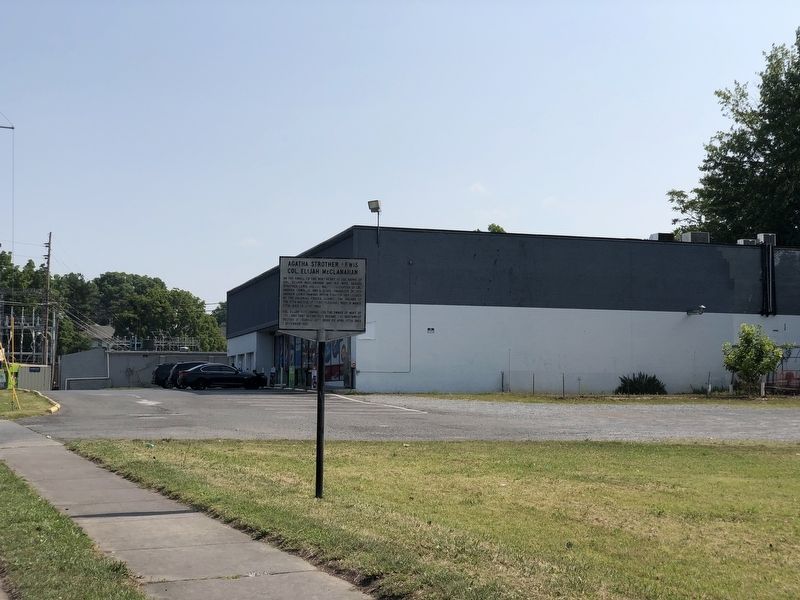
Location. 37° 17.112′ N, 79° 58.569′ W. Marker is in Roanoke, Virginia. Marker is on 24th Street Northwest north of Loudon Avenue Northwest, on the right when traveling north. Touch for map. Marker is in this post office area: Roanoke VA 24017, United States of America. Touch for directions.
Other nearby markers. At least 8 other markers are within 2 miles of this marker, measured as the crow flies. Villa Heights (approx. half a mile away); The Norwich Neighborhood (approx. 0.9 miles away); Birthplace of Henrietta Lacks (approx. 1.1 miles away); Roanoke Memorial Bridge (approx. 1.3 miles away); Fire Station No. 7 (approx. 1.3 miles away); Torteras Village Indian Trail (approx. 1.4 miles away); Brown-Robertson Park and the Flood of 1985 (approx. 1.4 miles away); James Alexander Tract Boundary (approx. 1.4 miles away). Touch for a list and map of all markers in Roanoke.
Also see . . . McClanahan Cemetery. Find a Grave entry on the small family cemetery. Although there are only two memorials documented here, previous archaeological surveys have found at least eight other unidentified graves there. (Submitted on July 11, 2023, by Duane and Tracy Marsteller of Murfreesboro, Tennessee.)
Credits. This page was last revised on July 12, 2023. It was originally submitted on July 11, 2023, by Duane and Tracy Marsteller of Murfreesboro, Tennessee. This page has been viewed 81 times since then and 21 times this year. Photos: 1, 2, 3. submitted on July 11, 2023, by Duane and Tracy Marsteller of Murfreesboro, Tennessee.


