Stafford in Stafford County, Virginia — The American South (Mid-Atlantic)
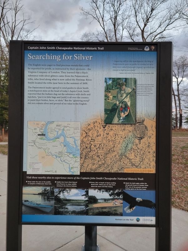
Searching for Silver
Captain John Smith Chesapeake National Historic Trail
— National Park Service, U.S. Department of the Interior —
The Patawomeck leader agreed to send guides to show Smith a matchqueon mine at the head of today's Aquia Creek. Smith reported that the Indians dug out the substance with shells and hatchets, "put it in little bags and (sold] it all over the country to paint their bodies, faces, or idols." But the "glistering metal" did not contain silver and proved of no value to the English.
...Inquiring still for this matchqueon, the king of Patawomecke gave us guides to conduct us up a little river called Quiyough [Aquia], up which we rowed so high as we dcould.:
— Captain John Smith, The General History of Virginia, 1624
The caption for the photograph on the right reads:
Descendents of the Patawomeck people still live in this area today. Patawomeck Chief Emeritus Robert Green, demonstrating traditional regalia, shows a dugout canoe to a young visitor at Historic Jamestowne.
Erected by National Park Service, U.S. Department of the Interior.
Topics and series. This historical marker is listed in these topic lists: Colonial Era • Exploration. In addition, it is included in the Captain John Smith Chesapeake National Historic Trail series list. A significant historical year for this entry is 1608.
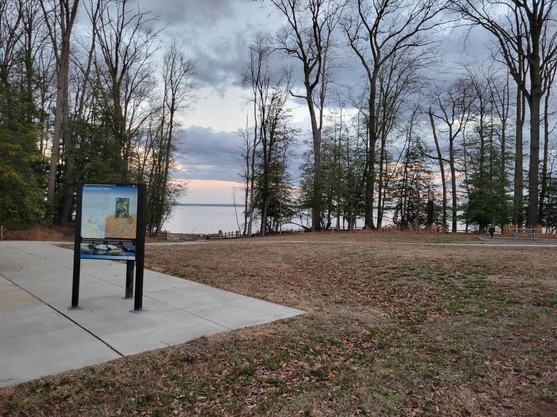
Location. 38° 24.429′ N, 77° 18.947′ W. Marker is in Stafford, Virginia, in Stafford County. Marker is on Willow Oak Lane. NeAr the Widewater State Park small boat launch area. Touch for map. Marker is in this post office area: Stafford VA 22554, United States of America. Touch for directions.
Other nearby markers. At least 8 other markers are within 2 miles of this marker, measured as the crow flies. Palmer Hayden (approx. 0.6 miles away); Aquia Landing (approx. 1.2 miles away); a different marker also named Aquia Landing (approx. 1.2 miles away); Steamships, Stages and Slave Trade (approx. 1.2 miles away); Early Escape Route (approx. 1.2 miles away); Gateway to Freedom (approx. 1.2 miles away); Patawomeck Tribe Village (approx. 1.4 miles away); a different marker also named Aquia Landing (approx. 1.7 miles away). Touch for a list and map of all markers in Stafford.
Credits. This page was last revised on July 13, 2023. It was originally submitted on July 12, 2023, by Kevin W. of Stafford, Virginia. This page has been viewed 75 times since then and 25 times this year. Photos: 1, 2, 3. submitted on July 12, 2023, by Kevin W. of Stafford, Virginia.


