Near Catawba in Roanoke County, Virginia — The American South (Mid-Atlantic)
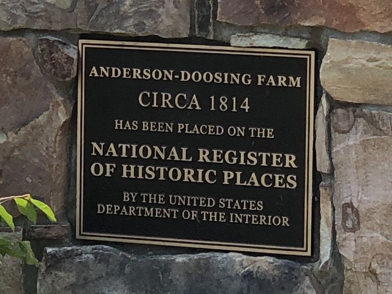
Anderson-Doosing Farm
Circa 1814
National Register
of Historic Places
by the United States
Department of the Interior
Topics and series. This historical marker is listed in these topic lists: Agriculture • Architecture. In addition, it is included in the National Register of Historic Places series list. A significant historical year for this entry is 1814.
Location. 37° 19.887′ N, 80° 11.723′ W. Marker is near Catawba, Virginia, in Roanoke County. Marker is on Blacksburg Road (Virginia Route 785) 1.7 miles east of Sandy Ridge Road (Virginia Route 697), on the right when traveling east. Touch for map. Marker is at or near this postal address: 7474 Blacksburg Rd, Catawba VA 24070, United States of America. Touch for directions.
Other nearby markers. At least 8 other markers are within 7 miles of this marker, measured as the crow flies. Audie Murphy Monument (approx. 2.8 miles away); Roanoke County / Craig County (approx. 4.1 miles away); Fort Lewis (approx. 5.4 miles away); a different marker also named Fort Lewis (approx. 5.4 miles away); Colonial Mansion Site (approx. 5˝ miles away); Roanoke College (approx. 6 miles away); Catawba Sanatorium (approx. 6.1 miles away); 9-11-2001 Memorial (approx. 6.1 miles away). Touch for a list and map of all markers in Catawba.
Regarding Anderson-Doosing Farm. Excerpt from the National Register nomination:
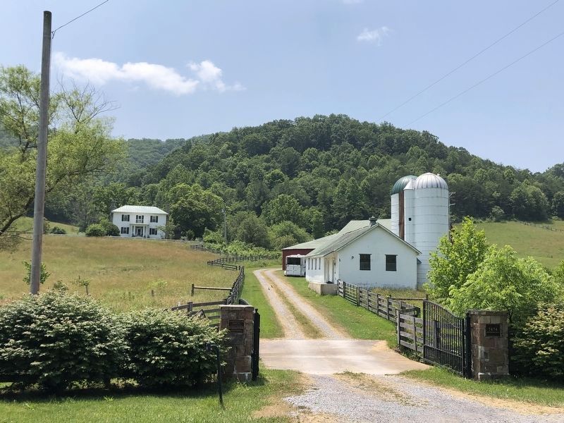
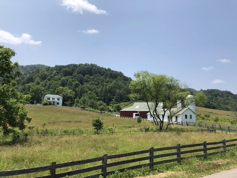
Joseph Anderson probably established the farm in the 1810s, and the farm's impressive double-crib log bank barn, probably built ca. 1830, dates from the period of Anderson's ownership. Other early buildings include a log meat house and a log cabin with a finely crafted stone chimney and evidence for later use as a blacksmith shop. The farmhouse, a two-story frame dwelling detailed in the Greek Revival style, was built ca. 1883 for then owners John W. and Barbara Ellen Doosing. Later buildings include a drive-through corncrib, a milking parlor with concrete silos, and an equipment shed that contains at its core an early twentieth-century blacksmith shop. The McNeil family owned the farm for much of the twentieth century. The period of significance begins with the construction of the bank barn ca. 1830 and ends ca. 1950 to include the construction of the milking parlor, which was apparently built in the late 1940s.
Also see . . . Anderson-Doosing Farm (PDF). National Register nomination and photographs submitted for the farmstead, which was listed in 2009. (National Archives) (Submitted on July 12, 2023, by Duane and Tracy Marsteller of Murfreesboro, Tennessee.)
Credits. This page was last revised on July 12, 2023. It was originally submitted on July 12, 2023, by Duane and Tracy Marsteller of Murfreesboro, Tennessee. This page has been viewed 61 times since then and 17 times this year. Photos: 1, 2, 3. submitted on July 12, 2023, by Duane and Tracy Marsteller of Murfreesboro, Tennessee.


