Waterfront Warehouse District in Oakland in Alameda County, California — The American West (Pacific Coastal)
Waterfront Warehouse District
Photographed by Joseph Alvarado, July 4, 2023
1. Waterfront Warehouse District Marker
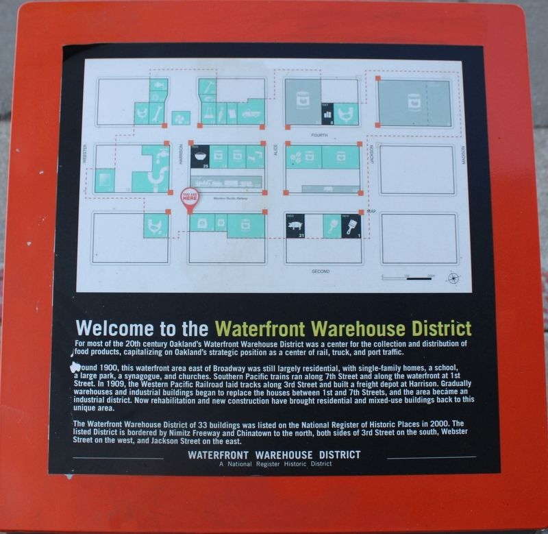
For most of the 20th century Oakland’s Waterfront Warehouse District was a center for the collection and distribution of food products, capitalizing on Oakland’s strategic position as a center of rail, truck, and port traffic.
Around 1900, this waterfront area east of Broadway was still largely residential, with single-family homes, a school, a large park, a synagogue, and churches. Southern Pacific trains ran along 7th Street and along the waterfront at 1st Street. In 1909, the Western Pacific Railroad laid tracks along 3rd Street and built a freight depot at Harrison. Gradually warehouses and industrial buildings began to replace the houses between 1st and 7th Streets, and the area became an industrial district. Now rehabilitation and new construction have brought residential and mixed-use buildings back to this unique area.
The Waterfront Warehouse District of 33 buildings was listed on the National Register of Historic Places in 2000. The listed District is bordered by Nimitz Freeway and Chinatown to the north, both sides of 3rd Street on the south, Webster Street on
this page online
A National Register Historic District
Topics. This historical marker is listed in these topic lists: Industry & Commerce • Railroads & Streetcars. A significant historical year for this entry is 1900.
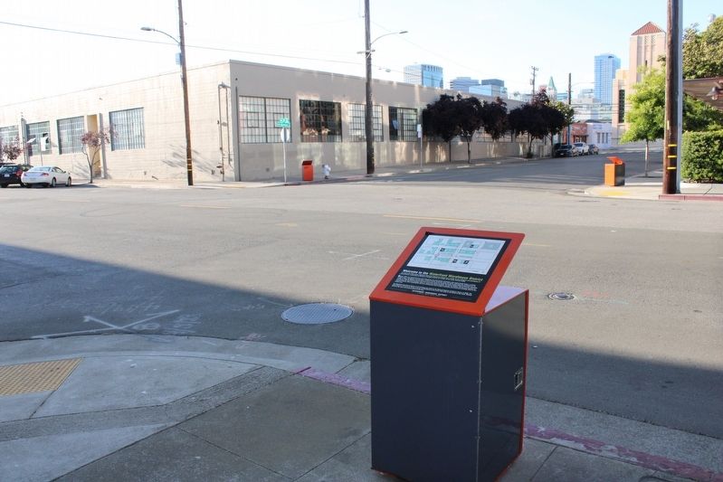
Location. 37° 47.714′ N, 122° 16.336′ W. Marker is in Oakland, California, in Alameda County. It is in the Waterfront Warehouse District. It is at the intersection of 3rd Street and Harrison Street, on the right when traveling east on 3rd Street. The marker is atop an orange metal trash can at the street corner. Touch for map. Marker is in this post office area: Oakland CA 94607, United States of America. Touch for directions.

Regionally, this marker is in the San Francisco Bay Area and on the Coast Ranges. It is also on the American Pacific Coast. Globally, it is in North America, on the Ring of Fire, on the Pacific Rim, in the Western Hemisphere, in the Western World, and in the Anglosphere. Historically, it finds itself in what was once New Spain and also Mexico’s Alta California.
Other nearby markers. At least 8 other markers are within walking
Photographed by Joseph Alvarado, July 4, 2023
2. Waterfront Warehouse District Marker
Other markers no longer nearby. American Bag Co. (was here, next to this marker but has been permanently removed); Western Pacific RR (was a few steps from this marker but has been permanently removed); Poultry Producers (was within shouting distance of this marker but has been permanently removed); Davis-Parker Whse. (was about 300 feet away but has been permanently removed); Oakland Plumbing (was about 300 feet away but has been permanently removed); Fourth St. circa 1962 (was about 300 feet away but has been permanently removed); Oakland Portal
Photographed by Joseph Alvarado, July 4, 2023
3. Opposite Side of A Marker/Trash Can
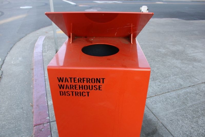
More about this marker. The Waterfront Warehouse District has special covered trash cans on street corners, with historical markers atop the covers.
Credits. This page was last revised on July 12, 2023. It was originally submitted on July 12, 2023, by Joseph Alvarado of Livermore, California. This page has been viewed 188 times since then and 30 times this year. Photos: 1, 2. submitted on July 12, 2023, by Joseph Alvarado of Livermore, California. 3. submitted on July 5, 2023, by Joseph Alvarado of Livermore, California.
