Canyon Village in Yellowstone National Park in Park County, Wyoming — The American West (Mountains)
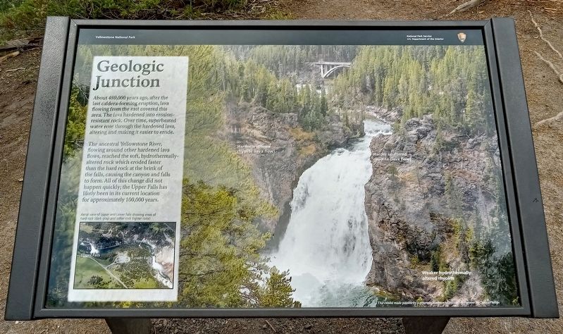
Geologic Junction
The ancestral Yellowstone River, flowing around other hardened lava flows, reached the soft, hydrothermically-altered rock which eroded faster than the hard rock at the brink of the falls, causing the canyon and falls to form. All of this change did not happen quickly; the Upper Falls has likely been in its current location for approximately 100,000 years.
Aerial view of Upper and Lower Falls showing areas of hard rock (dark gray) and softer rock (lighter color)
This exhibit made possible by a generous donation to Yellowstone Forever by ConocoPhillips
Erected by the National Park Service.
Topics. This historical marker is listed in this topic list: Natural Features.
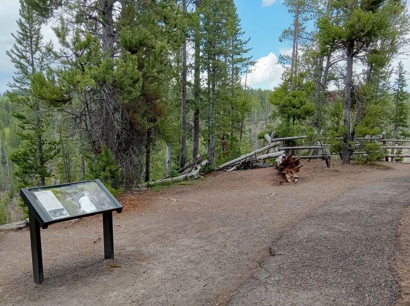
Location. 44° 43.004′ N, 110° 29.855′ W. Marker is in Yellowstone National Park, Wyoming, in Park County. It is in Canyon Village. Marker can be reached from South Rim Drive, on the left when traveling east. Marker is on the South Rim Trail of the Grand Canyon of the Yellowstone, northwest of the Upper Falls Viewpoints parking lot. Touch for map. Marker is in this post office area: Yellowstone National Park WY 82190, United States of America. Touch for directions.
Other nearby markers. At least 8 other markers are within walking distance of this marker. Uncle Tom’s Point (about 600 feet away, measured in a direct line); Uncle Tom’s Trail (about 700 feet away); Upper Falls of the Yellowstone River (approx. 0.2 miles away); Brink of Lower Falls (approx. 0.2 miles away); Still Venting After All These Years (approx. ¼ mile away); Brink of Upper Falls (approx. ¼ mile away); Waterfall Makers (approx. half a mile away); Lookout Point (approx. 0.6 miles away). Touch for a list and map of all markers in Yellowstone National Park.
Credits. This page was last revised on July 14, 2023. It was originally submitted on July 12, 2023, by McGhiever of Minneapolis, Minnesota. This page has been viewed 65 times since then and 13 times this year. Photos: 1, 2. submitted on July 12, 2023, by McGhiever of Minneapolis, Minnesota. • Andrew Ruppenstein was the editor who published this page.

