Columbia Township in Columbia City in Whitley County, Indiana — The American Midwest (Great Lakes)
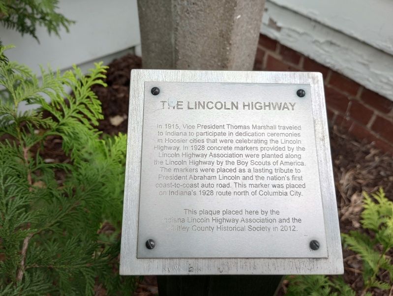
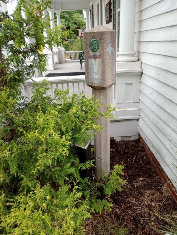
The Lincoln Highway
Erected 2012 by Indiana Lincoln Highway Association and the Witley County Historical Society.
Topics and series. This historical marker is listed in this topic list: Roads & Vehicles. In addition, it is included in the Lincoln Highway series list. A significant historical year for this entry is 1915.
Location. 41° 9.562′ N, 85° 29.339′ W. Marker is in Columbia City, Indiana, in Whitley County. It is in Columbia Township. Marker can be reached from West Jefferson Street, on the left when traveling east. Touch for map. Marker is at or near this postal address: 108 W Jefferson Street, Columbia City IN 46725, United States of America. Touch for directions.
Other nearby markers. At least 8 other markers are within walking distance of this marker. Home of Thomas R. Marshall (here, next to this marker); Wm. Wells 1770 - 1812 (a few steps from this marker); a different marker also named Home of Thomas R. Marshall (a few steps from this marker); Mill Stone from the Liggett Mill (a few steps from this marker); "The Little Brick House" (a few steps from this marker); Adams-Pond Farm (within shouting distance of this marker); Smith & Sons / The Peabody Free Library (about 400 feet away, measured in a direct line); A Kind and Gentle Man (about 700 feet away). Touch for a list and map of all markers in Columbia City.
Credits. This page was last revised on July 14, 2023. It was originally submitted on July 13, 2023, by Craig Doda of Napoleon, Ohio. This page has been viewed 58 times since then and 19 times this year. Photos: 1, 2. submitted on July 13, 2023, by Craig Doda of Napoleon, Ohio. • Andrew Ruppenstein was the editor who published this page.

