Highland near Dublin in Pulaski County, Virginia — The American South (Mid-Atlantic)
Est. 1767
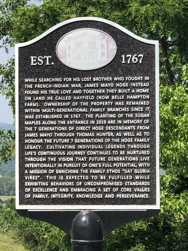
Photographed by Duane and Tracy Marsteller, June 17, 2023
1. Est. 1767 Marker
Topics and series. This historical marker is listed in these topic lists: Architecture • Settlements & Settlers. In addition,
this page online
Location. 37° 10.453′ N, 80° 39.554′ W. Marker is near Dublin, Virginia, in Pulaski County. It is in Highland. It is on Belle Hampton Farm Road 0.1 miles north of Highland Road (Virginia Route 627), on the right when traveling north. Touch for map. Marker is at or near this postal address: 5849 Highland Rd, Dublin VA 24084, United States of America. Touch for directions.

Regionally, this marker is in Southwest Virginia, in the Blue Ridge Highlands, and in the New River Gorge. It is also in the American South, specifically in the Upper South, in Appalachia, and specifically in Southern Appalachia. Globally, it is in North America, the Western Hemisphere, the Western World, and the Anglosphere. Historically, it finds itself in what was once the territory of the Mississippian Culture, one of the original Thirteen Colonies, one of the Confederate States of America, and the Antebellum South.
Other nearby markers. At least 8 other markers are within 4 miles of this marker, measured as the crow flies:
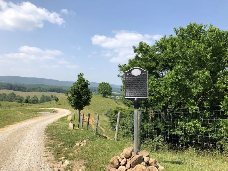
Photographed by Duane and Tracy Marsteller, June 17, 2023
2. Est. 1767 Marker
Also see . . . Belle-Hampton (PDF). National Register of Historic Places nomination and photographs submitted for the property, which was listed in 1989. (National Archives) (Submitted on July 14, 2023, by Duane and Tracy Marsteller of Murfreesboro, Tennessee.)
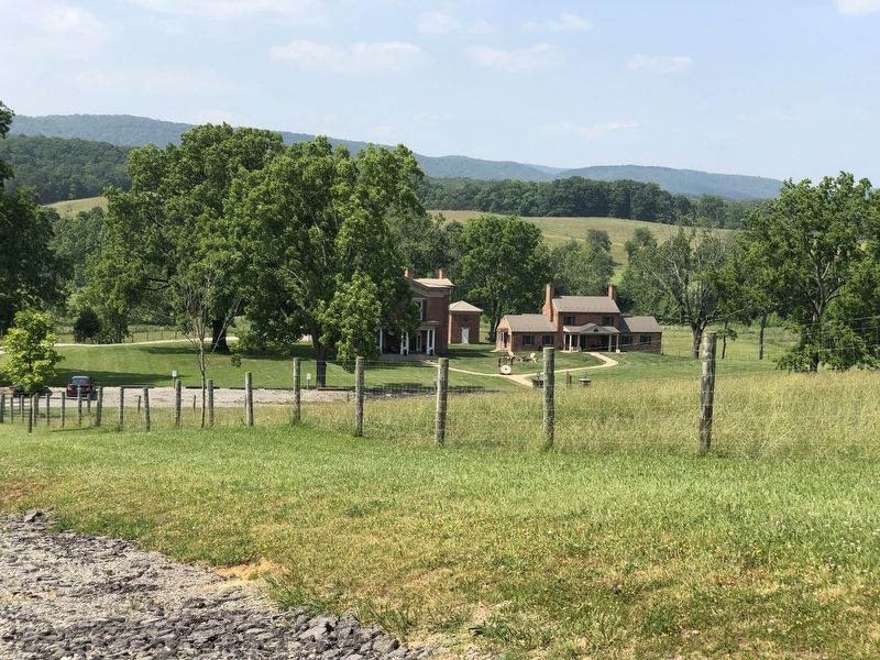
Photographed by Duane and Tracy Marsteller, June 17, 2023
3. Belle-Hamption
General view of the estate.
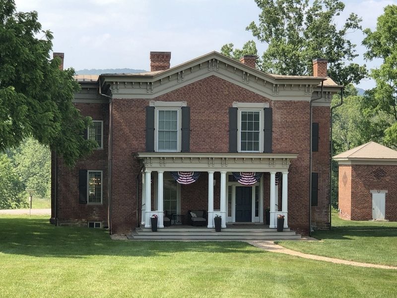
Photographed by Duane and Tracy Marsteller, June 17, 2023
4. Belle-Hampton
The front portion is a c. 1879 addition to the original c. 1826 house, which now comprises the rear section.
Credits. This page was last revised on July 14, 2023. It was originally submitted on July 14, 2023, by Duane and Tracy Marsteller of Murfreesboro, Tennessee. This page has been viewed 238 times since then and 21 times this year. Photos: 1, 2, 3, 4. submitted on July 14, 2023, by Duane and Tracy Marsteller of Murfreesboro, Tennessee.
