Loreauville in Iberia Parish, Louisiana — The American South (West South Central)
New Acadia / Nouvelle Acadie
English Side
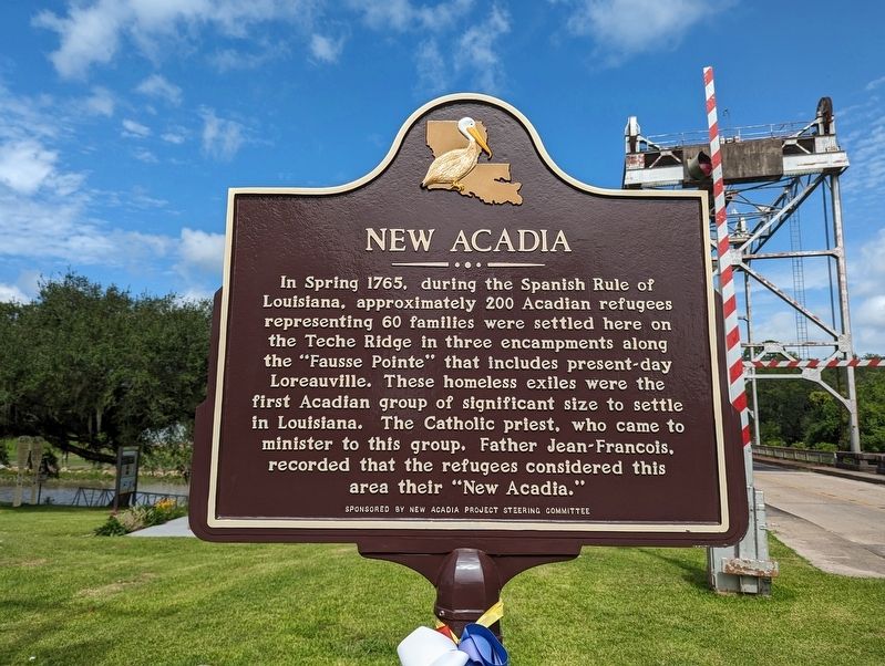
In Spring 1765, during the Spanish Rule of Louisiana, approximately 200 Acadian refugees representing 60 families were settled here on the Teche Ridge in three encampments along the "Fausse Pointe" that includes present-day Loreauville. These homeless exiles were the first Acadian group of significant size to settle in Louisiana. The Catholic priest, who came to minister to this group. Father Jean-Francois. recorded that the refugees considered this area their "New Acadia."
French Side
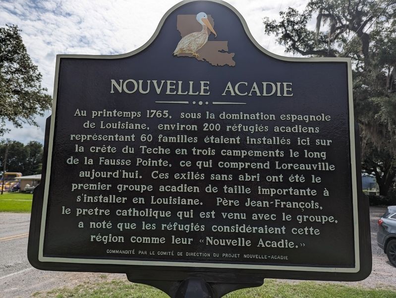
Au printemps 1765, sous la domination espagnole de Louisiane, environ 200 réfugiés acadiens représentant 60 familles étaient installés ici sur la crête du Teche en trois campements le long de la Fausse Pointe, ce qui comprend Loreauville aujourd'hui. Ces exilés sans abri ont été le premier groupe acadien de taille importante à s'installer en Louisiane. Père Jean-François, le pretre catholique qui est venu avec le groupe, a noté que les réfugiés considéraient cette région comme leur «Nouvelle Acadie.»
Erected by New Acadia Project Steering Committee / Commandité Par Le Comité De Direction Du Project Nouvelle-Acadie.
Topics and series. This historical marker is listed in these topic lists: Colonial Era • Settlements & Settlers . In addition, it is included in the Acadian History series list. A significant historical year for this entry is 1765.
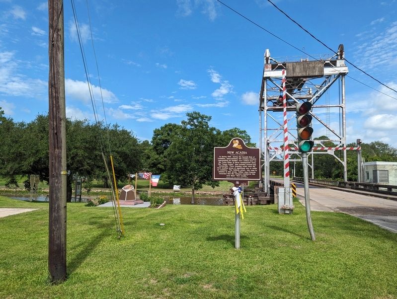
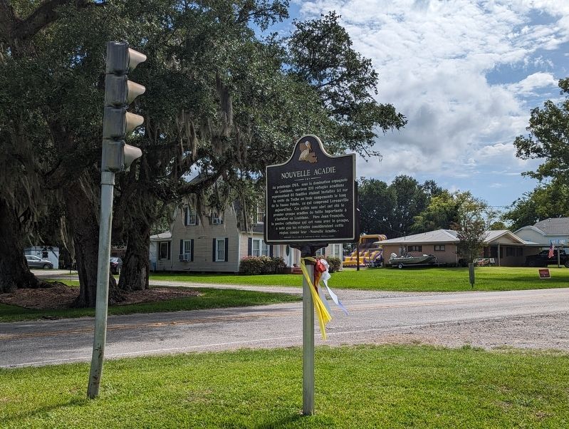
Location. 30° 3.401′ N, 91° 44.387′ W. Marker is in Loreauville, Louisiana, in Iberia Parish. Marker is on Bridge Street (State Highway 344) 0.2 miles west of Main Street (Highway 86), on the left when traveling west. Touch for map. Marker is at or near this postal address: 110 Bridge St, New Iberia LA 70563, United States of America. Touch for directions.
Other nearby markers. At least 8 other markers are within 6 miles of this marker, measured as the crow flies. Fausse Point of Bayou Teche / Fausse-Pointe du Bayou Tèche (a few steps from this marker); The Grand Dérangement / Le Grand Dérangement (a few steps from this marker); Welcome to Loreauville (within shouting distance of this marker); Loreauville Memorial (about 700 feet away, measured in a direct line); Belmont Plantation (approx. 4.2 miles away); Sugar Cane Festival and Fair Building (approx. 5.4 miles away); Veterans Memorial Building (approx. 5.6 miles away); Frederick Larned Gates (approx. 5.7 miles away). Touch for a list and map of all markers in Loreauville.
Credits. This page was last revised on July 15, 2023. It was originally submitted on July 15, 2023, by Cajun Scrambler of Assumption, Louisiana. This page has been viewed 83 times since then and 24 times this year. Photos: 1, 2, 3, 4. submitted on July 15, 2023, by Cajun Scrambler of Assumption, Louisiana.


