Huntington in Cabell County, West Virginia — The American South (Appalachia)
Sixth Street Bridge Spire
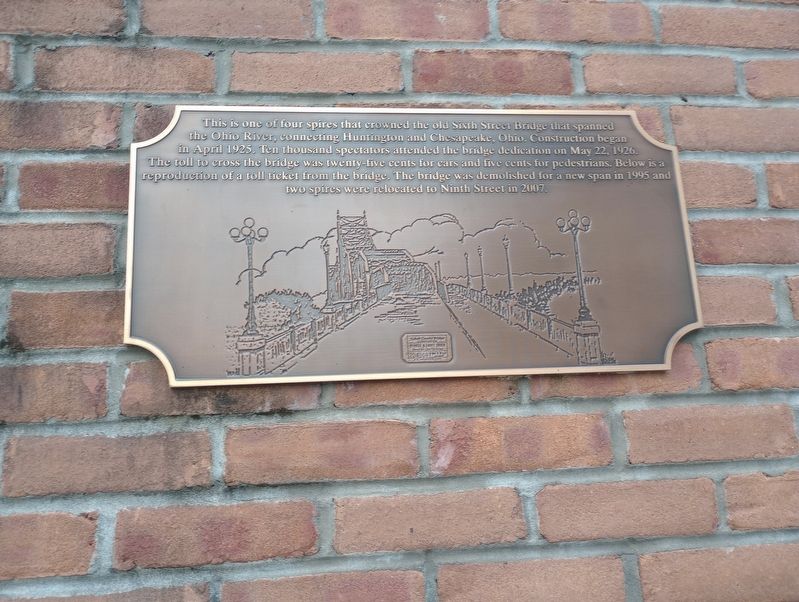
Photographed by Craig Doda, June 25, 2023
1. Sixth Street Bridge Spire Marker
Topics. This historical marker is listed in this topic list: Bridges & Viaducts. A significant historical month for this entry is April 1925.
Location. 38° 25.297′ N, 82° 26.646′ W. Marker is in Huntington, West Virginia, in Cabell County. It is on 9th Street south of 3rd Avenue, in the median. Touch for map. Marker is at or near this postal address: 314 9th Street, Huntington WV 25701, United States of America. Touch for directions.

Regionally, this marker is in West Virginia’s Kyova Tri-State Region. It is also in the American South, specifically in the Upper South, in the Ohio River Valley, in Appalachia, and specifically
this page online
Other nearby markers. At least 8 other markers are within walking distance of this marker: The West Virginia Building (about 300 feet away, measured in a direct line); Trolly Cars (about 400 feet away); Chessie System (about 400 feet away); Collins P. Huntington (about 400 feet away); Heisler Steam Engine (about 500 feet away); Clinchfield Railroad (about 500 feet away); Frank "Gunner" Gatski Memorial Bridge (about 500 feet away); W. Stanley James, ESQ (about 700 feet away). Touch for a list and map of all markers in Huntington.
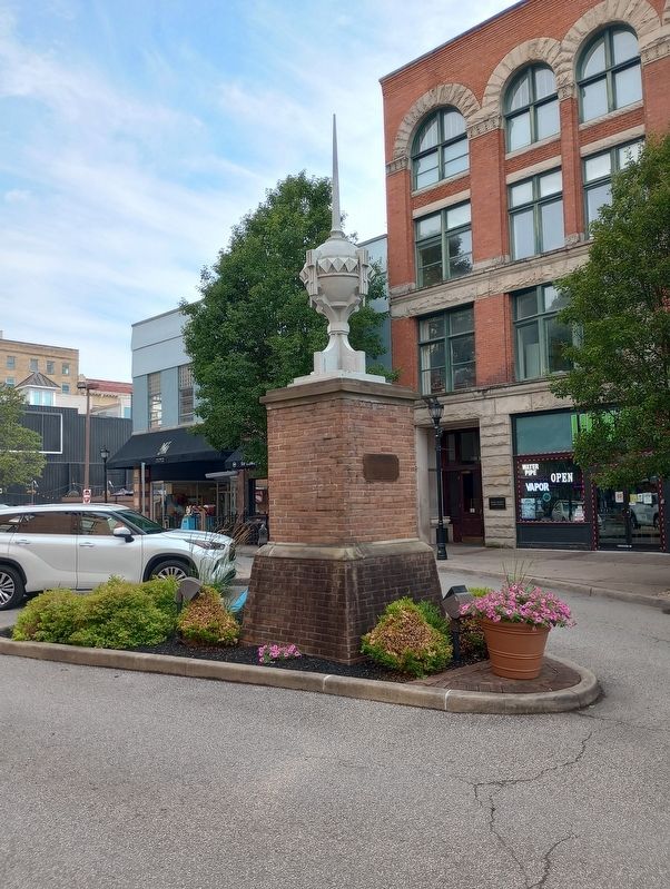
Photographed by Craig Doda, June 25, 2023
2. Sixth Street Bridge Spire Marker
Credits. This page was last revised on July 23, 2023. It was originally submitted on July 15, 2023, by Craig Doda of Napoleon, Ohio. This page has been viewed 219 times since then and 20 times this year. Photos: 1, 2. submitted on July 15, 2023, by Craig Doda of Napoleon, Ohio. • Devry Becker Jones was the editor who published this page.
