Near Kinsley in Edwards County, Kansas — The American Midwest (Upper Plains)
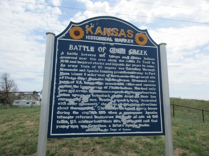
Battle of Coon Creek
A battle between U.S. troops and Plains Indians occurred near this area along the Santa Fe Trail in 1848 and inspired stories and legends for years to come. An army train of 60 wagons was traveling through Comanche and Apache hunting grounds on its way to Fort Mann (about 6 miles west of here, near the present site of Dodge City) when the fighting began. The small company of U.S. troops was armed with rifles and cannons against the larger group of Plains Indians, who had only bows and arrows. Eyewitnesses reported seeing an American Indian woman on horseback at the front of their line encouraging the men. Wearing a scarlet dress “decorated with silver ornaments,” she “rode about giving directions about the wounded.” The Indians sustained heavy losses during the conflict and when a courageous Apache teenager returned to recover the body of one of the fallen, U.S. soldiers held their fire. One legend said that young man was Geronimo, a future Apache leader.
Erected 2014 by Kansas Historical Society and the Kansas Department of Transportation. (Marker Number 73.)
Topics and series. This historical marker is listed in this topic list: Wars, US Indian. In addition, it is included in the Kansas Historical Society series list.
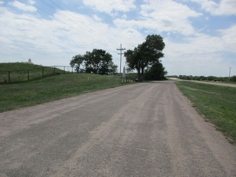
Location. 37° 55.653′ N, 99° 22.054′ W. Marker is near Kinsley, Kansas, in Edwards County. Marker is on U.S. 50 near 120th ave. The marker is two miles east of Kinsley at the Arkansas River bridge. Touch for map. Marker is in this post office area: Kinsley KS 67547, United States of America. Touch for directions.
Other nearby markers. At least 7 other markers are within 13 miles of this marker, measured as the crow flies. Santa Fe Trail (approx. 3.1 miles away); The Edwards County Historical Society (approx. 3.1 miles away); a different marker also named Santa Fe Trail (approx. 7.7 miles away); The Dry Route of the Santa Fe Trail (approx. 10.9 miles away); a different marker also named Santa Fe Trail (approx. 10.9 miles away); Edwards County Vietnam Veterans Memorial (approx. 10.9 miles away); Camp Criley 1872 (approx. 12.3 miles away).
Credits. This page was last revised on July 21, 2023. It was originally submitted on July 15, 2023, by Jeff Leichsenring of Garland, Texas. This page has been viewed 209 times since then and 105 times this year. Photos: 1, 2. submitted on July 15, 2023, by Jeff Leichsenring of Garland, Texas. • J. Makali Bruton was the editor who published this page.

