Near Tazewell in Tazewell County, Virginia — The American South (Mid-Atlantic)
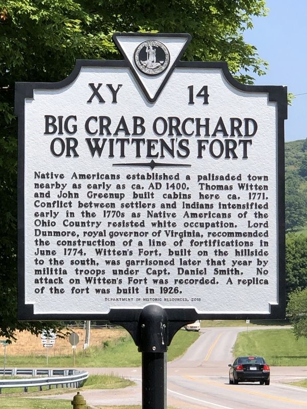
Big Crab Orchard or Witten’s Fort
Inscription.
Native Americans established a palisaded town
nearby as early as ca. AD 1400. Thomas Witten
and John Greenup built cabins here ca. 1771.
Conflict between settlers and Indians intensified
early in the 1770s as Native Americans of the
Ohio Country resisted white occupation. Lord
Dunmore, royal governor of Virginia, recommended
the construction of a line of fortifications in
June 1774. Witten's Fort, built on the hillside
to the south, was garrisoned later that year by
militia troops under Capt. Daniel Smith. No
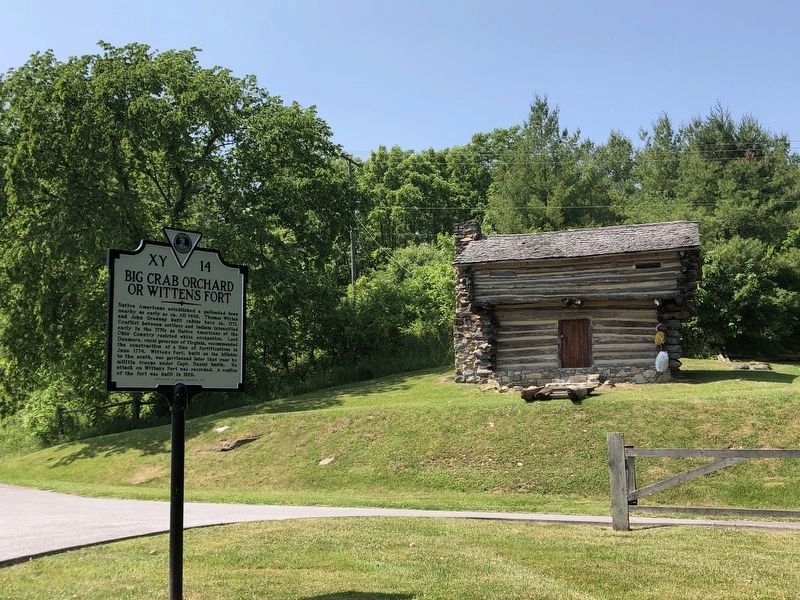
attack on Witten's Fort was recorded. A replica
of the fort was built in 1926.
Erected 2018 by Virginia Department of Historic Resources. (Marker Number XY-14.)
Topics and series. This historical marker is listed in these topic lists: Forts and Castles • Native Americans • Settlements & Settlers. In addition, it is included in the Virginia Department of Historic Resources (DHR) series list. A significant historical month for this entry is June 1774.
Location. 37° 7.173′ N, 81° 34.414′ W. Marker is near Tazewell, Virginia, in Tazewell County. Marker is on Crab Orchard Road (Business U.S. 460) south of Trail of the Lonesome Pine (U.S. 19), on the right when traveling south. Touch for map. Marker is at or near this postal address: 3665 Crab Orchard Rd, Tazewell VA 24651, United States of America. Touch for directions.
Other nearby markers. At least 8 other markers are within 5 miles of this marker, measured as the crow flies. Fincastle Turnpike (within shouting distance of this marker); Pisgah United Methodist Church (about 500 feet away, measured in a direct line); Indian-Settler Conflicts (approx. 1.7 miles away); Tazewell (approx. 2.7 miles away); Roark’s Gap Incident (approx. 2.7 miles away); The James Wynn House (approx. 3 miles away); Civilian Conservation Corps Company 1392 (approx. 4.3 miles away); William Wynne’s Fort (approx. 4.4 miles away). Touch for a list and map of all markers in Tazewell.
Also see . . . Fort Witten. Brief history of the three forts – the original and two reproductions – that have stood at the site. (Crab Orchard Museum) (Submitted on July 16, 2023, by Duane and Tracy Marsteller of Murfreesboro, Tennessee.)
Credits. This page was last revised on July 16, 2023. It was originally submitted on July 16, 2023, by Duane and Tracy Marsteller of Murfreesboro, Tennessee. This page has been viewed 106 times since then and 35 times this year. Photos: 1, 2. submitted on July 16, 2023, by Duane and Tracy Marsteller of Murfreesboro, Tennessee.

