Seaport in Manhattan in New York County, New York — The American Northeast (Mid-Atlantic)
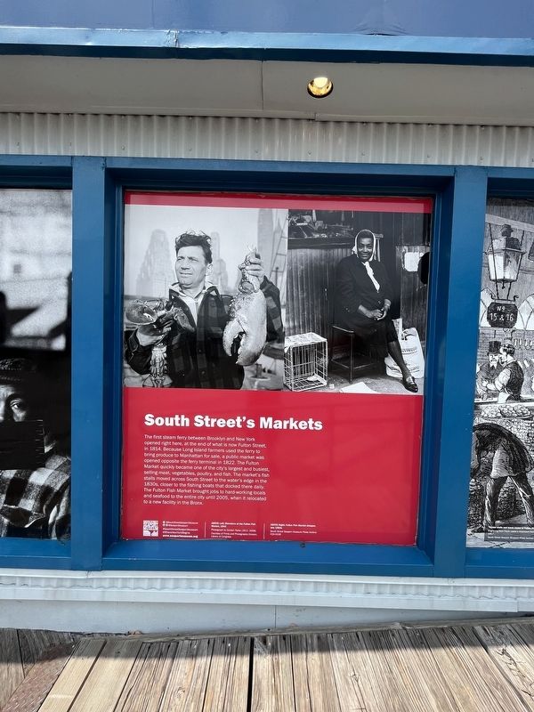
South Street's Markets
— South Street Seaport Museum —
Erected by South Street Seaport Museum.
Topics. This historical marker is listed in these topic lists: Industry & Commerce • Waterways & Vessels. A significant historical year for this entry is 1814.
Location. 40° 42.343′ N, 74° 0.183′ W. Marker is in Manhattan, New York, in New York County. It is in Seaport. Marker can be reached from East River Greenway just east of John Street, on the right when traveling east. Touch for map. Marker is at or near this postal address: 167 John St, New York NY 10038, United States of America. Touch for directions.
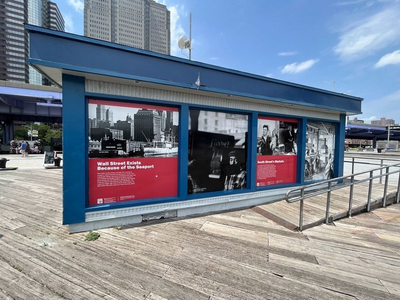
Other nearby markers. At least 8 other markers are within walking distance of this marker. Wall Street Exists Because of the Seaport (here, next to this marker); America's Emporium (a few steps from this marker); Forecastle Head (within shouting distance of this marker); High Water Mark (within shouting distance of this marker); Wavertree (within shouting distance of this marker); Ambrose (within shouting distance of this marker); Cargo Hatches (within shouting distance of this marker); Capstan (within shouting distance of this marker). Touch for a list and map of all markers in Manhattan.
Additional commentary.
1. About Brooklyn and New York City
Prior to 1898, Brooklyn and New York City were discrete municipalities within New York State. Prior to consolidation, New York City consisted of what is now the Borough of Manhattan and part of what is now the Borough of the Bronx. Brooklyn was the third largest city in the United States. The two cities' histories, while on different islands, were linked by their shared harbor.
— Submitted July 17, 2023, by Devry Becker Jones of Washington, District of Columbia.
Credits. This page was last revised on July 17, 2023. It was originally submitted on July 17, 2023, by Devry Becker Jones of Washington, District of Columbia. This page has been viewed 42 times since then and 5 times this year. Photos: 1, 2. submitted on July 17, 2023, by Devry Becker Jones of Washington, District of Columbia.

