Boston Township near Peninsula in Summit County, Ohio — The American Midwest (Great Lakes)
Gristmill
Reaching Distant Markets
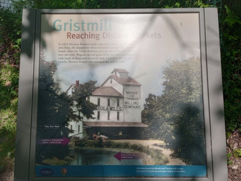
In 1832 Hermon Bronson built a gristmill here to turn grain into flour. He shipped the flour to market on the Ohio & Erie Canal. After the Valley Railway arrived, the mill built a bridge over the river. Wagons carried grain from the train and returned with loads of flour and livestock feed. Chandler Moody and Charles Thomas bought and enlarged the mill in 1902.
[Caption:]
A fire destroyed the Moody and Thomas mill in 1931. Fine dust from grain processing is highly combustible.
Erected by Ohio & Erie Canalway; National Park Service, U.S. Department of the Interior.
Topics and series. This historical marker is listed in these topic lists: Architecture • Industry & Commerce • Waterways & Vessels. In addition, it is included in the Ohio and Erie Canal series list. A significant historical year for this entry is 1832.
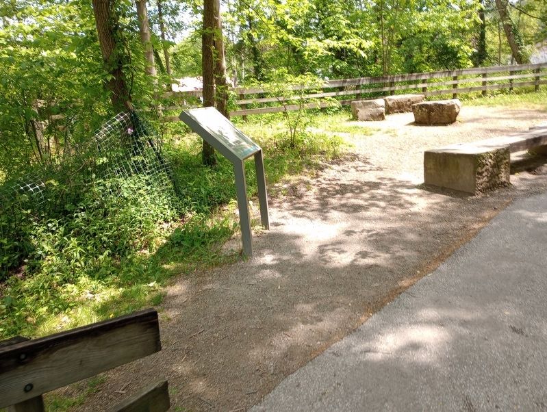
Location. 41° 14.542′ N, 81° 33.003′ W. Marker is near Peninsula, Ohio, in Summit County. It is in Boston Township. Marker can be reached from Ohio & Erie Canal Towpath Trail, on the right when traveling north. Touch for map. Marker is at or near this postal address: 1648 Mill St W, Peninsula OH 44264, United States of America. Touch for directions.
Other nearby markers. At least 8 other markers are within walking distance of this marker. Peninsula (within shouting distance of this marker); A Tight Fit (within shouting distance of this marker); Lock 29 (about 300 feet away, measured in a direct line); Canal Builders (about 300 feet away); Welcome to Cuyahoga Valley National Park (about 300 feet away); Village and River Linked (about 300 feet away); Life on a Crooked River (about 300 feet away); Welcome to Peninsula (about 400 feet away). Touch for a list and map of all markers in Peninsula.
Credits. This page was last revised on July 27, 2023. It was originally submitted on July 17, 2023, by Craig Doda of Napoleon, Ohio. This page has been viewed 50 times since then and 12 times this year. Photos: 1, 2. submitted on July 17, 2023, by Craig Doda of Napoleon, Ohio. • Devry Becker Jones was the editor who published this page.

