Mount Hope in Fayette County, West Virginia — The American South (Appalachia)
The Dunloup Creek Watershed
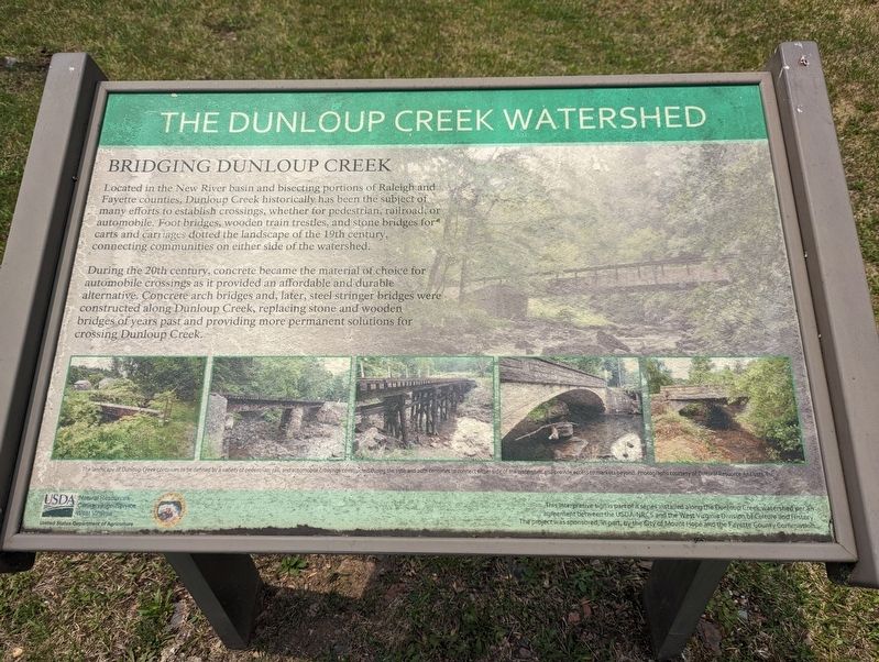
Bridging Dunloup Creek
During the 20th century, concrete became the material of choice for automobile crossings as it provided an affordable and durable alternative. Concrete arch bridges and, later, steel stringer bridges were constructed along Dunloup Creek, replacing stone and wooden bridges of years past and providing more permanent solutions for crossing Dunloup Creek.
Erected by USDA - Natural Resources Conservation Service West Virginia.
Topics. This historical marker is listed in these topic lists: Bridges & Viaducts • Waterways & Vessels.
Location. 37° 53.392′ N, 81° 10.532′ W. Marker is in Mount Hope, West Virginia, in Fayette County. Marker can be reached from the intersection of West Virginia Route 211 and West Virginia Route 16, on the right when traveling west. Touch for map. Marker is in this post office area: Mount Hope WV 25880, United States of America. Touch for directions.
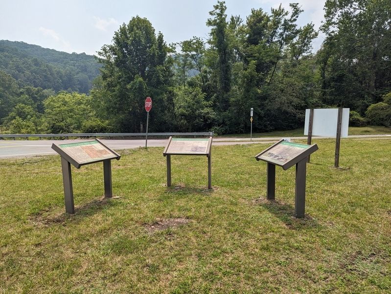
Other nearby markers. At least 8 other markers are within walking distance of this marker. A different marker also named The Dunloup Creek Watershed (here, next to this marker); a different marker also named The Dunloup Creek Watershed (here, next to this marker); Siltix Mine Disaster (within shouting distance of this marker); The Coal Companies (approx. 0.2 miles away); Mine Safety (approx. 0.2 miles away); Phoenix City of the New River (approx. 0.2 miles away); New River Coalfield (approx. 0.2 miles away); The Coming of the Railroads (approx. 0.2 miles away). Touch for a list and map of all markers in Mount Hope.
Credits. This page was last revised on July 19, 2023. It was originally submitted on July 19, 2023, by Mike Wintermantel of Pittsburgh, Pennsylvania. This page has been viewed 44 times since then and 9 times this year. Photos: 1, 2. submitted on July 19, 2023, by Mike Wintermantel of Pittsburgh, Pennsylvania.

