Brooklyn Heights in Kings County, New York — The American Northeast (Mid-Atlantic)
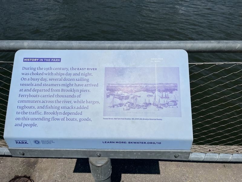
History in the Park
Brooklyn Bridge Park
— Brooklyn Historical Society —
Erected by Brooklyn Historical Society. (Marker Number 10.)
Topics. This historical marker is listed in these topic lists: Industry & Commerce • Waterways & Vessels.
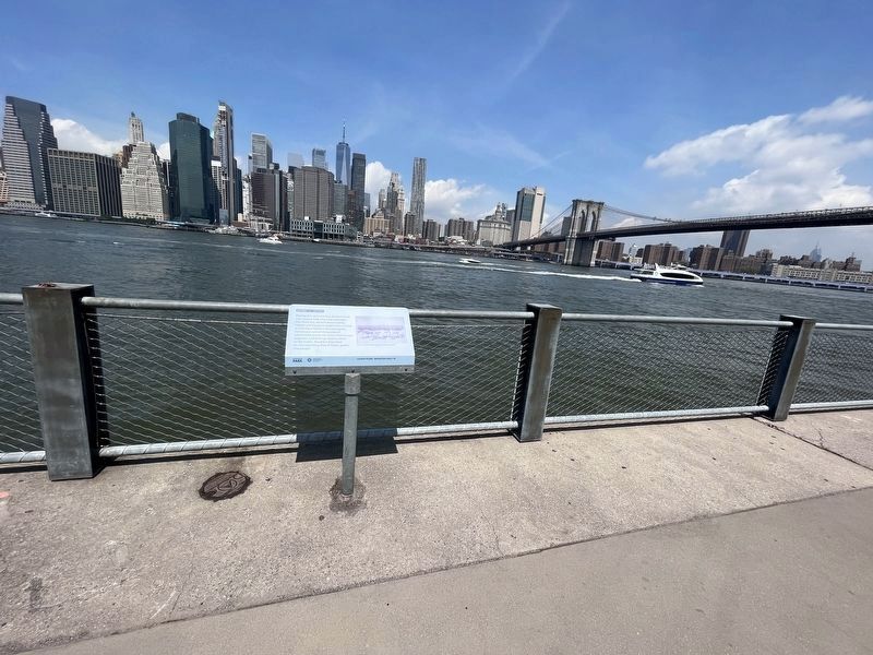
Location. 40° 42.164′ N, 73° 59.812′ W. Marker is in Brooklyn, New York, in Kings County. It is in Brooklyn Heights. Marker can be reached from Brooklyn Bridge Park Greenway south of Doughty Street, on the right when traveling south. Touch for map. Marker is at or near this postal address: 60 Furman Street, Brooklyn NY 11201, United States of America. Touch for directions.
Other nearby markers. At least 8 other markers are within walking distance of this marker. Fulton Street Pier (about 500 feet away, measured in a direct line); Brookland Ferry Landing (about 600 feet away); Brooklyn City Railroad Company Building (about 600 feet away); a different marker also named History in the Park (about 600 feet away); Edward Robinson Squibb (about 800 feet away); The Builders of the Bridge (approx. 0.2 miles away); 1883 New York Harbor (approx. 0.2 miles away); The Brooklyn Bridge (approx. 0.2 miles away). Touch for a list and map of all markers in Brooklyn.
Credits. This page was last revised on February 17, 2024. It was originally submitted on July 19, 2023, by Devry Becker Jones of Washington, District of Columbia. This page has been viewed 69 times since then and 8 times this year. Photos: 1, 2. submitted on July 19, 2023, by Devry Becker Jones of Washington, District of Columbia.

