Cuyahoga Falls in Summit County, Ohio — The American Midwest (Great Lakes)
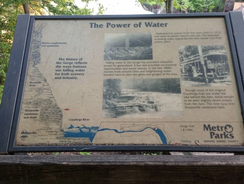
The Power of Water
Hydroelectric power from this dam (built in 1912) was used to power electric rail cars. The lake was a cooling water source for the now closed coal-fired power plant.
Falling water in the Gorge has provided industrial power for generations. It has also provided recreational opportunities and scenic beauty. In the late 1800s, tourists from around Ohio and neighboring states traveled here to view the glens and gorges of the area.
Though most of the original Cuyahoga Falls are under the lake behind the dam, some remain to be seen slightly down stream from the dam. The river runs over Sharpsville sandstone here.
Erected by Summit Metro Parks.
Topics. This historical marker is listed in these topic lists: Industry & Commerce • Waterways & Vessels.
Location. 41° 7.402′ N, 81° 29.842′ W. Marker is in Cuyahoga Falls, Ohio, in Summit County. Marker can be reached from Francis Avenue, on the left when traveling north. Touch for map. Marker is at or near this postal address: 1128 Francis Avenue, Cuyahoga Falls OH 44223, United States of America. Touch for directions.
Other nearby markers. At least 8 other markers are within 2 miles of this marker, measured as the crow flies. Where The Fun Is (about 700 feet away, measured in a direct line); More than a Metro Park (approx. ¼ mile away); History of 1832 Front Street (approx. 0.9 miles away); High Bridge Glens (approx. 0.9 miles away); The Signal Tree (approx. 1.1 miles away); Chestnut Hill Veterans Memorial Garden (approx. 1.3 miles away); Lest We Forget (approx. 1.3 miles away); Cuyahoga Falls Veterans Memorial (approx. 1.4 miles away). Touch for a list and map of all markers in Cuyahoga Falls.
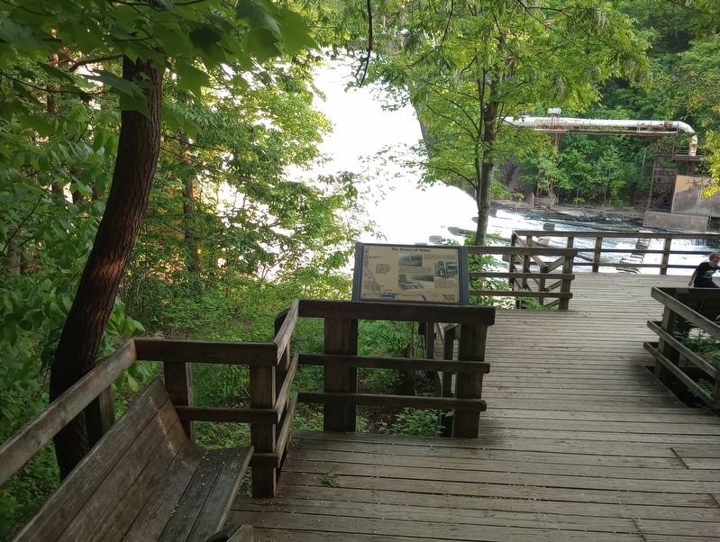
More about this marker. The marker is located on a lookout on the Gorge Trail, on the north side of the river.
Credits. This page was last revised on July 27, 2023. It was originally submitted on July 19, 2023, by Craig Doda of Napoleon, Ohio. This page has been viewed 55 times since then and 13 times this year. Photos: 1, 2. submitted on July 19, 2023, by Craig Doda of Napoleon, Ohio. • Andrew Ruppenstein was the editor who published this page.

