Brookville Township in Metamora in Franklin County, Indiana — The American Midwest (Great Lakes)
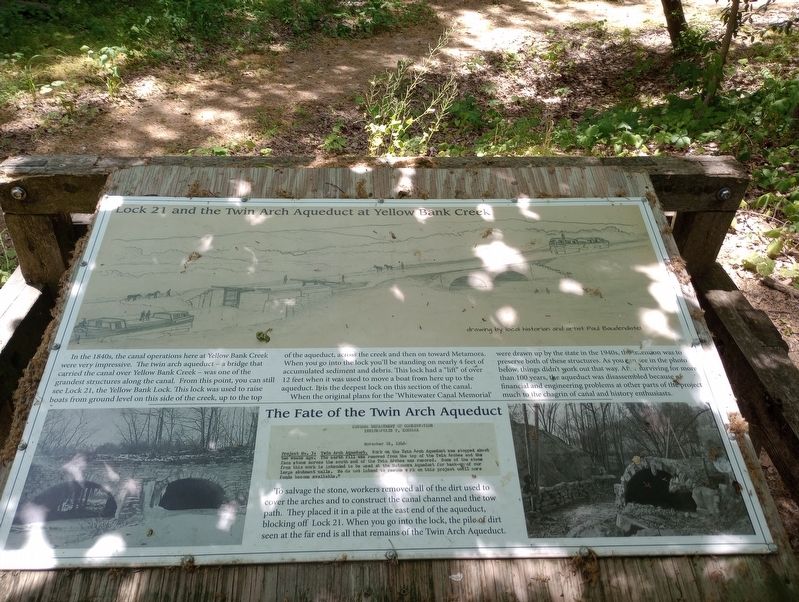
Lock 21 and the Twin Arch Aqueduct at Yellow Bank Creek
Inscription.
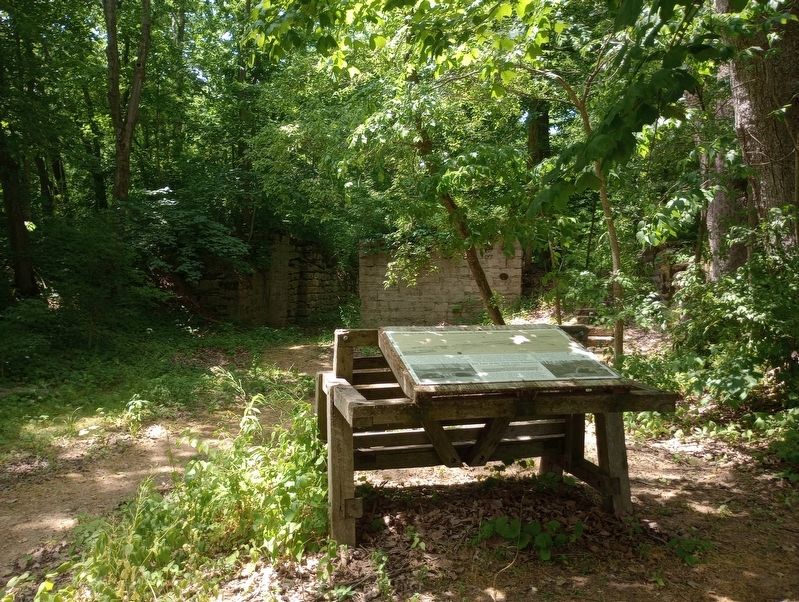
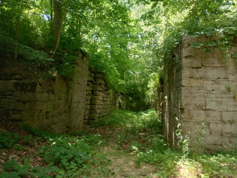
In the 1840s, the canal operations here at Yellow Bank Creek were very impressive. The twin arch aqueduct - a bridge that carried the canal over Yellow Bank Creek was one of the grandest structures along the canal. From this point, you can still see Lock 21, the Yellow Bank Lock. This lock was used to raise boats from ground level on this side of the creek, up to the top of the aqueduct, across the creek and then on toward Metamora. When you go into the lock you'll be standing on nearly 4 feet of accumulated sediment and debris. This lock had a "lift" of over 12 feet when it was used to move a boat from here up to the aqueduct. It is the deepest lock on this section of the canal.
When the original plans for the 'Whitewater Canal Memorial' were drawn up by the state in the 1940s, the intention was to preserve both of these structures. As you can see in the photo below, things didn't work out that way. After surviving for more than 100 years, the aqueduct was disassembled because of financial and engineering problems at other parts of the project much to the chagrin of canal and history enthusiasts.
The Fate of the Twin Arch Aqueduct
Indiana Department Of Conservation Indianapolis 9, Indiana November 16, 1946:
Project No. 31 Twin Arch Aqueduct. Work on the Twin Arch Aqueduct was stopped about two weeks ago. The earth fill was removed from the top of the Twin Arches and the face stone across the south end of the Twin Arches was removed. Some of the stone from this work is intended to be used at the Metamora Aqueduct for back-up of our large abutment walls. We do not intend to resume work on this project until more funds became available."
To salvage the stone, workers removed all of the dirt used to cover the arches and to construct the canal channel and the tow path. They placed it in a pile at the east end of the aqueduct, blocking off Lock 21. When you go into the lock, the pile of dirt seen at the far end is all that remains of the Twin Arch Aqueduct.
Topics. This historical marker is listed in these topic lists: Industry & Commerce • Waterways & Vessels. A significant historical date for this entry is November 16, 1946.
Location. 39° 26.204′ N, 85° 3.712′ W. Marker is in Metamora, Indiana, in Franklin County. It is in Brookville Township. Marker can be reached from U.S. 52 west of Yellow Bank Road, on the right when traveling east. Touch for map. Marker is at or near this postal address: 15042 Route 52, Metamora IN 47030, United States of America. Touch for directions.
Other nearby markers. At least 8 other markers are within 3 miles of this marker, measured as the crow flies. The Whitewater Canal Trail Offers You: (about 500 feet away, measured in a direct line); a different marker also named The Whitewater Canal Trail Offers You: (about 800
feet away); Yellow Bank Flag Stop / Hendrickson's Ice Pond (about 800 feet away); Boundary Hill (approx. 1.1 miles away); Intersection of Treaty Lines (approx. 2 miles away); David Stoops - Pioneer (approx. 2.4 miles away); Brookville's Carnegie Library (approx. 2.8 miles away); Goodwin Home (approx. 2.8 miles away). Touch for a list and map of all markers in Metamora.
Credits. This page was last revised on July 28, 2023. It was originally submitted on July 21, 2023, by Craig Doda of Napoleon, Ohio. This page has been viewed 47 times since then and 9 times this year. Photos: 1, 2, 3. submitted on July 21, 2023, by Craig Doda of Napoleon, Ohio. • Devry Becker Jones was the editor who published this page.


