Monterey Township near Ottoville in Putnam County, Ohio — The American Midwest (Great Lakes)
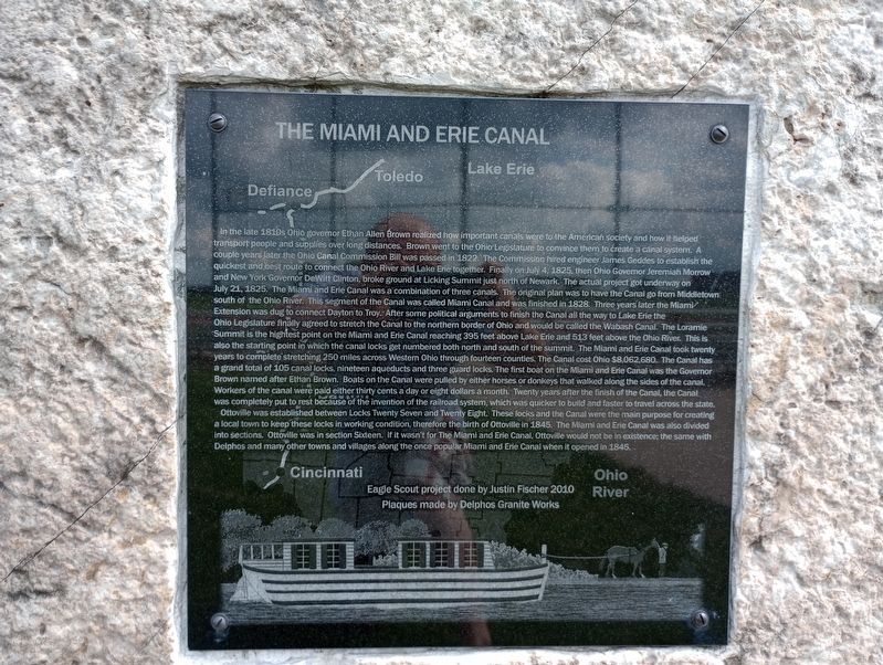
The Miami And Erie Canal
In the late 1810s Ohio governor Ethan Allen Brown realized how important canals were to the American Society and how it helped transport people and supplies over long distances. Brown went to the Ohio Legislature to convince them to create a canal system. A couple years later the Ohio Canal Commission Bill was passed in 1822. The Commission hired engineer James Geddes to establish the quickest and best route to connect the Ohio River and Lake Erie together. Finally on July 4, 1825, then Ohio Governor Jeremiah Morrow and New York Governor DeWitt Clinton, broke ground at Licking Summit just north of Newark. The actual project got underway on July 21, 1825. The Miami and Erie Canal was a combination of three canals. The original plan was to have the Canal go from Middletown south of the Ohio River. This segment of the Canal was called Miami Canal and was finished in 1828. Three years later the Miami Extension was dug to connect Dayton to Troy. After some political arguments to finish the Canal all the way to Lake Erie the Ohio Legislature finally agreed to stretch the Canal to the northern border of Ohio and would be called the Wabash Canal. The Loramie Summit is the highest point on the Miami and Erie Canal reaching 395 feet above Lake Erie and 513 feet above the Ohio River. This is also the starting point in which the canal locks get numbered both north and south of the summit. The Miami and Erie Canal took twenty years to complete stretching 250 miles across Western Ohio through fourteen counties. The Canal cost Ohio $8,062,680. The Canal has a grand total of 105 canal locks, nineteen aqueducts and three guard locks. The first boat on the Miami and Erie Canal was the Governor Brown named after Ethan Brown. Boats on the Canal were pulled by either horses or donkeys that walked along the sides of the canal. Workers of the canal were paid either thirty cents a day or eight dollars a month. Twenty years after the finish of the Canal, the Canal was completely put to rest because of the invention of the railroad system, which was quicker to build and faster to travel across the state. Ottoville was established between Locks Twenty Seven and Twenty Eight. These locks and the Canal were the main purpose for creating a local town to keep these locks in working condition, therefore the birth of Ottoville in 1845. The Miami and Erie Canal was also divided into sections. Ottoville was in section Sixteen. If it wasn't for The Miami and Erie Canal, Ottoville would not be in existence; the same with Delphos and many other towns and villages along the once popular Miami and Erie Canal when it opened in 1845.
Erected 2010 by Eagle Scout project done by Justin Fischer / Delphos Granite Works.
Topics and series. This historical marker is listed in these topic lists: Industry & Commerce • Waterways & Vessels. In addition, it is included in the The Miami & Erie Canal series list. A significant historical date for this entry is July 4, 1825.
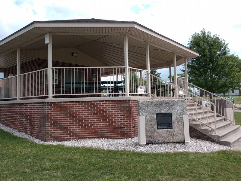
Location. 40° 55.978′ N, 84° 20.565′ W. Marker is near Ottoville, Ohio, in Putnam County. It is in Monterey Township. Marker is on Park Drive north of 3rd Street (Ohio Route 66), on the right when traveling south. Touch for map. Marker is at or near this postal address: 150 Park Dr, Fort Jennings OH 45844, United States of America. Touch for directions.
Other nearby markers. At least 8 other markers are within walking distance of this marker. The Canal's Locks And Narrowboats (a few steps from this marker); Robert "Bob" L. Brinkman (about 700 feet away, measured in a direct line); 09.11.2001 (approx. 0.2 miles away); Honor Roll (approx. 0.2 miles away); V.F.W. Post 3740 Veterans Memorial (approx. 0.2 miles away); The Miami and Erie Canal (approx. ¼ mile away); Immaculate Conception Cemetery Veterans Memorial (approx. 0.4 miles away); Ottoville (approx. half a mile away). Touch for a list and map of all markers in Ottoville.
Credits. This page was last revised on August 1, 2023. It was originally submitted on July 21, 2023, by Craig Doda of Napoleon, Ohio. This page has been viewed 99 times since then and 53 times this year. Photos: 1, 2. submitted on July 21, 2023, by Craig Doda of Napoleon, Ohio. • Devry Becker Jones was the editor who published this page.

