Blowing Rock in Watauga County, North Carolina — The American South (South Atlantic)
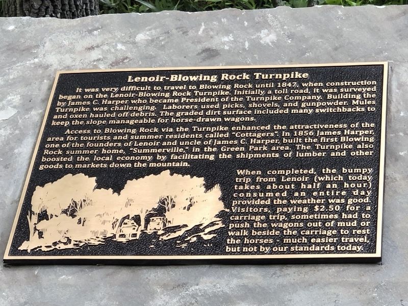
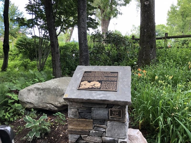
Lenoir-Blowing Rock Turnpike
— Blowing Rock History Walk —
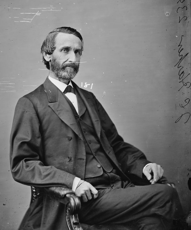
Access to Blowing Rock via the Turnpike enhanced the attractiveness of the area for tourists and summer residents called “Cottagers.” In 1856 James Harper, one of the founders of Lenoir and uncle of James C. Harper, built the first Blowing Rock summer home, “Summerville,” in the Green Park area. The Turnpike also boosted the local economy by facilitating the shipments of lumber and other goods to markets down the mountain.
When completed, the bumpy trip from Lenoir (which today takes about half an hour) consumed an entire day provided the weather was good. Visitors, paying $2.50 for a carriage trip, sometimes had to push the wagons out of mud or walk beside the carriage to rest the horses – much easier travel, but not by our standards today.
Erected by Blowing Rock Historical Society • Blowing Rock Village Foundation • Town of Blowing Rock.
Topics. This historical marker is listed in these topic lists: Roads & Vehicles • Settlements & Settlers. A significant historical year for this entry is 1847.
Location. 36° 7.953′ N, 81° 40.783′ W. Marker is in Blowing Rock, North Carolina, in Watauga County. Marker is at the intersection of Laurel Lane and Wallingford Street, on the right when traveling west on Laurel Lane. Touch for map. Marker is in this post office area: Blowing Rock NC 28605, United States of America. Touch for directions.
Other nearby markers. At least 8 other markers are within walking distance of this marker. Watauga Hotel and Memorial Park (a few steps from this marker); Mayview Park (within shouting distance of this marker); Glen Burney Falls (within shouting distance of this marker); From Mountain Village to Resort (within shouting distance of this marker); Early Visitors and Settlers (within shouting distance of this marker); Uncle Joe Clark and Becoming a Town (within shouting distance of this marker); Mayview Lake (about 300 feet away, measured in a direct line); Blowing Rock's History (about 300 feet away). Touch for a list and map of all markers in Blowing Rock.
Regarding Lenoir-Blowing Rock Turnpike. Initially a graded dirt road, its tolls were 10 cents for a horseback rider, 20 cents for a one-horse wagon, and 25 cents for a two-horse wagon. As automobile use began growing, the road was macadamized in 1910 and drivers were charged $1 to use it. The state purchased the turnpike in 1921, and it now is part of U.S. 321.
Also see . . . Backstory: Lenoir-Blowing Rock Turnpike (PDF). The Lenoir-Blowing Rock Turnpike generally followed the path of the current U.S. Highway 321 route from Lenoir to Blowing Rock. (Blowing Rock Historical Society) (Submitted on July 23, 2023, by Duane and Tracy Marsteller of Murfreesboro, Tennessee.)
Credits. This page was last revised on July 24, 2023. It was originally submitted on July 22, 2023, by Duane and Tracy Marsteller of Murfreesboro, Tennessee. This page has been viewed 111 times since then and 44 times this year. Photos: 1, 2. submitted on July 22, 2023, by Duane and Tracy Marsteller of Murfreesboro, Tennessee. 3. submitted on July 23, 2023, by Duane and Tracy Marsteller of Murfreesboro, Tennessee.


