Mechanicsville in Hanover County, Virginia — The American South (Mid-Atlantic)
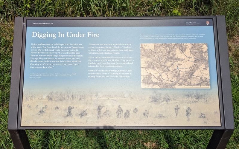
Digging In Under Fire
— Richmond National Battlefield Park —
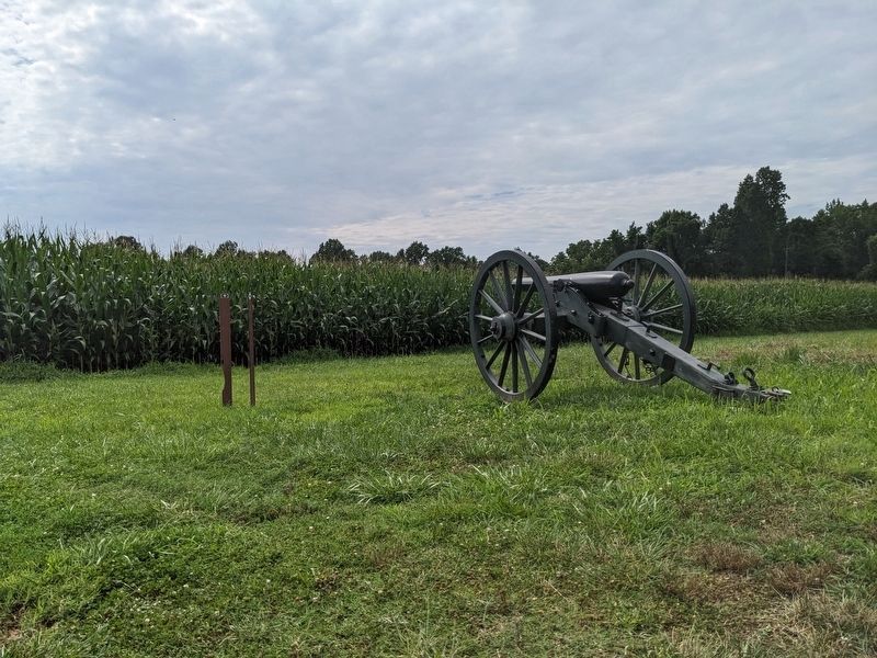
Federal cannon also took up positions nearby under "a constant shower of bullets." Dueling artillery killed and injured men from both sides with inconclusive tactical results.
Union infantry stationed here advanced across the creek on May 30 and 31, 1864. They gained a foothold each time, but were then repulsed and returned to their previous positions.
Unable to secure an advantage, General Grant continued his series of flanking maneuvers by moving south and east toward Cold Harbor.
(captions)
From his vantage point in the upstairs of the Shelton House, Harper's Weekly illustrator Alfred Waud sketched this view of Union skirmishes in action. Library of Congress.
The entrenchments we see today are remnants of a much larger network of defenses, visible here in a detail from an 1860s map. The Shelton family, together with paid laborers, continued to farm the land for more than a century after the battle, leveling much of these earthen obstacles. Library of Congress.
Erected by National Park Service, U.S. Department of the Interior.
Topics. This historical marker is listed in this topic list: War, US Civil. A significant historical date for this entry is May 30, 1864.
Location. 37° 39.559′ N, 77° 20.852′ W. Marker is in Mechanicsville, Virginia, in Hanover County. Marker can be reached from Studley Road west of Shelton Pointe Drive, on the left when traveling west. Touch for map. Marker is at or near this postal address: 7273 Studley Rd, Mechanicsville VA 23116, United States of America. Touch for directions.
Other nearby markers. At least 8 other markers are within walking distance of this marker. Lives on the Line (about 500 feet away, measured in a direct line); Damaged but not Destroyed (about 600 feet away); Rural Plains (about 800 feet away); Totopotomoy Line (about 800 feet away); Totopotomoy Creek (approx. 0.2 miles away); Totopotomoi (approx. 0.2 miles away); a different marker also named Totopotomoy Line (approx. 0.4 miles away); Attacking the High Ground (approx. half a mile away). Touch for a list and map of all markers in Mechanicsville.
Also see . . . Totopotomoy Creek Battlefield at Rural Plains. National Park Service (Submitted on July 22, 2023.)
Credits. This page was last revised on July 22, 2023. It was originally submitted on July 22, 2023, by Bernard Fisher of Richmond, Virginia. This page has been viewed 69 times since then and 27 times this year. Photos: 1, 2, 3, 4. submitted on July 22, 2023, by Bernard Fisher of Richmond, Virginia. 5. submitted on July 22, 2023.


