Blowing Rock in Watauga County, North Carolina — The American South (South Atlantic)
The Blue Ridge Parkway
— Blowing Rock History Walk —
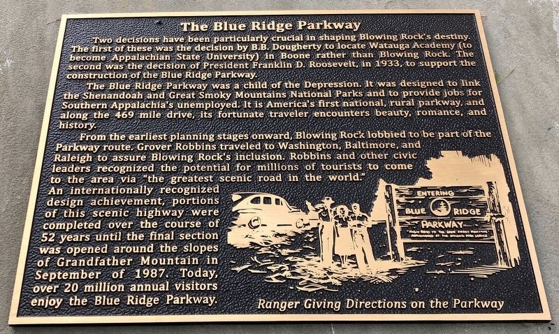
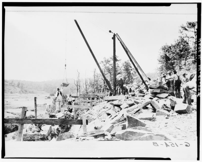
The Blue Ridge Parkway was a child of the Depression. It was designed to link the Shenandoah and Great Smoky Mountains National Parks and to provide jobs for Southern Appalachia's unemployed. It is America's first national, rural parkway, and along the 469 mile drive, its fortunate traveler encounters beauty, romance, and history.
From the earliest planning stages onward, Blowing Rock lobbied to be part of the Parkway route. Grover Robbins traveled to Washington, Baltimore, and Raleigh to assure Blowing Rock's inclusion. Robbins and other civic leaders recognized the potential for millions of tourists to come to the area via “the greatest scenic road in the world.” An internationally recognized design achievement, portions of this scenic highway were completed over the course of 52 years until the final section was opened around the slopes of Grandfather Mountain in September of 1987. Today, over 20 million annual visitors enjoy the Blue Ridge Parkway.
Caption: Ranger giving directions on the Parkway
Erected by Blowing Rock Historical Society • Blowing Rock Village Foundation • Town of Blowing Rock.
Topics. This historical marker is listed in these topic lists: Charity & Public Work • Industry & Commerce • Roads & Vehicles. A significant historical year for this entry is 1933.
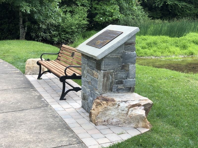
Location. 36° 8.04′ N, 81° 40.882′ W. Marker is in Blowing Rock, North Carolina, in Watauga County. Marker can be reached from Lakeside Drive, 0.1 miles south of Clark Street. Marker is in Broyhill Park. Touch for map. Marker is at or near this postal address: 173 Lakeside Dr, Blowing Rock NC 28605, United States of America. Touch for directions.
Other nearby markers. At least 8 other markers are within walking distance of this marker. Religious Heritage (within shouting distance of this marker); Philanthropy (within shouting distance of this marker); Chetola (within shouting distance of this marker); Medical Care (within shouting distance of this marker); Ski Industry (within shouting distance of this marker); Tourism (within shouting distance of this marker); The Cone Estate and Family (within shouting distance of this marker); Early Education (within shouting distance of this marker). Touch for a list and map of all markers in Blowing Rock.
Also see . . . Backstory: The Blue Ridge Parkway (PDF). Originally called the “Appalachian Scenic Highway,” the Blue Ridge Parkway’s origins can be traced back to a visit by President Franklin D. Roosevelt to Skyline Drive in Virginia in 1933. (Blowing Rock Historical Society) (Submitted on July 23, 2023, by Duane and Tracy Marsteller of Murfreesboro, Tennessee.)
Credits. This page was last revised on July 24, 2023. It was originally submitted on July 22, 2023, by Duane and Tracy Marsteller of Murfreesboro, Tennessee. This page has been viewed 72 times since then and 16 times this year. Photos: 1, 2. submitted on July 22, 2023, by Duane and Tracy Marsteller of Murfreesboro, Tennessee. 3. submitted on July 23, 2023, by Duane and Tracy Marsteller of Murfreesboro, Tennessee.


