Blowing Rock in Watauga County, North Carolina — The American South (South Atlantic)
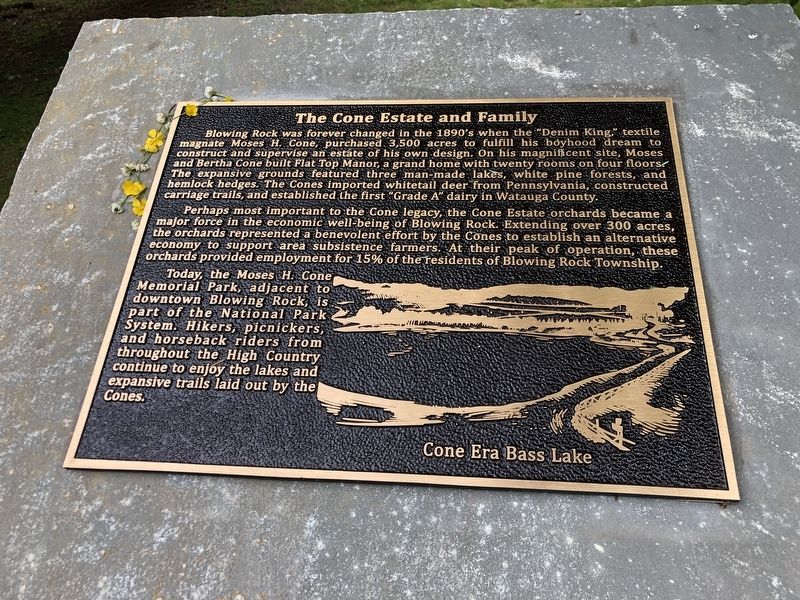
The Cone Estate and Family
— Blowing Rock History Walk —
Perhaps most important to the Cone legacy, the Cone Estate orchards became a major force in the economic well-being of Blowing Rock. Extending over 300 acres, the orchards represented a benevolent effort by the Cones to establish an alternative economy to support area subsistence farmers. At their peak of operation, these orchards provided employment for 15% of the residents of Blowing Rock Township.
Today, the Moses H. Cone Memorial Park, adjacent to downtown Blowing Rock, is part of the National Park System. Hikers, picnickers, and horseback riders from throughout the High Country continue to enjoy the lakes and expansive trails laid out by the Cones.
Caption: Cone-era Bass Lake
Erected by Blowing Rock Historical Society • Blowing Rock Village Foundation • Town of Blowing Rock.
Topics. This historical marker is listed in these topic lists: Architecture • Horticulture & Forestry • Industry & Commerce • Parks & Recreational Areas.
Location. 36° 7.999′ N, 81° 40.879′ W. Marker is in Blowing Rock, North Carolina, in Watauga County. Marker can be reached from the intersection of Laurel Lane and Wallingford Street. Marker is on the paved path around Mayview Lake in Broyhill Park. Touch for map. Marker is in this post office area: Blowing Rock NC 28605, United States of America. Touch for directions.
Other nearby markers. At least 8 other markers are within walking distance of this marker. Green Park (a few steps from this marker); A Wet or Dry Town (within shouting distance of this marker); The Blue Ridge Parkway (within shouting distance of this marker); Mayview Lake (within shouting distance of this marker); Early Education (about 300 feet away, measured in a direct line); Antlers (about 300 feet away); Religious Heritage (about 300 feet away); Ski Industry (about 300 feet away). Touch for a list and map of all markers in Blowing Rock.
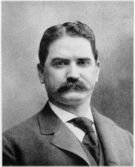
Also see . . . Backstory: The Cone Estate and Family (PDF). Having visited Blowing Rock as a young man during his traveling salesman days, Moses Cone knew he wanted to eventually settle down
in this idyllic part of the High Country. Between 1893 and 1899 he and his wife Bertha acquired the majority of the land that would make up the Cone Estate. (Blowing Rock Historical Society) (Submitted on July 24, 2023, by Duane and Tracy Marsteller of Murfreesboro, Tennessee.)

cmav vis Flickr (CC BY 2.0), March 20, 2013
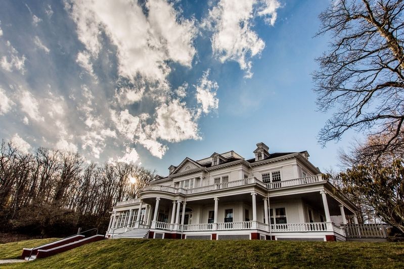
3. Flat Top Manor
The nearly 14,000-square-foot manor has 23 rooms, including 11 bedrooms, a billiard room, a library, a music room, 11 fireplaces, and seven bathrooms.
Credits. This page was last revised on July 24, 2023. It was originally submitted on July 22, 2023, by Duane and Tracy Marsteller of Murfreesboro, Tennessee. This page has been viewed 96 times since then and 38 times this year. Photos: 1. submitted on July 22, 2023, by Duane and Tracy Marsteller of Murfreesboro, Tennessee. 2. submitted on July 23, 2023, by Duane and Tracy Marsteller of Murfreesboro, Tennessee. 3. submitted on July 24, 2023, by Duane and Tracy Marsteller of Murfreesboro, Tennessee.
Editor’s want-list for this marker. Wide-view photo of marker and surrounding area in context • Can you help?

