Blowing Rock in Watauga County, North Carolina — The American South (South Atlantic)
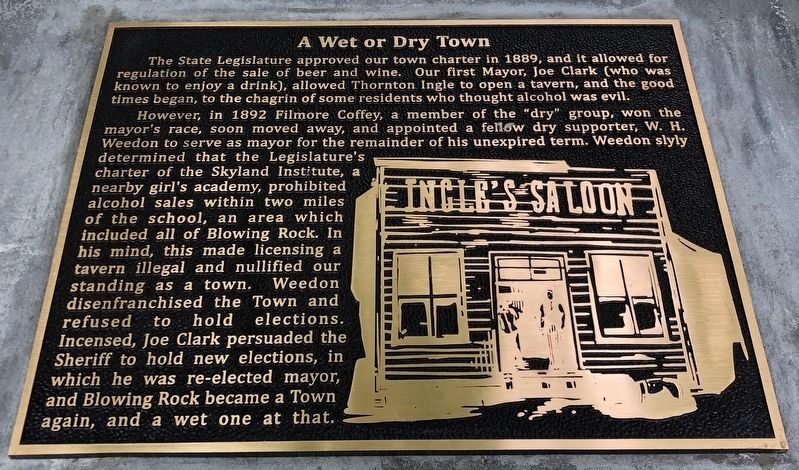
A Wet or Dry Town
| — | Blowing Rock History Walk | — |
Photographed by Duane and Tracy Marsteller, June 24, 2023
1. A Wet or Dry Town Marker
However, in 1892 Filmore Coffey, a member of the “dry” group, won the mayor's race, soon moved away, and appointed a fellow dry supporter, W. H. Weedon to serve as mayor for the remainder of his unexpired term. Weedon slyly determined that the Legislature's charter of the Skyland Institute, a nearby girl's academy, prohibited alcohol sales within two miles of the school, an area which included all of Blowing Rock. In his mind, this made licensing a tavern illegal and nullified our standing as a town. Weedon disenfranchised the Town and refused to hold elections. Incensed, Joe Clark persuaded the Sheriff to hold new elections, in which he was re-elected mayor, and Blowing Rock became a Town again, and a wet one at that.
Erected by Blowing Rock Historical Society • Blowing Rock Village Foundation
this page online
Topics. This historical marker is listed in these topic lists: Government & Politics • Industry & Commerce. A significant historical year for this entry is 1889.
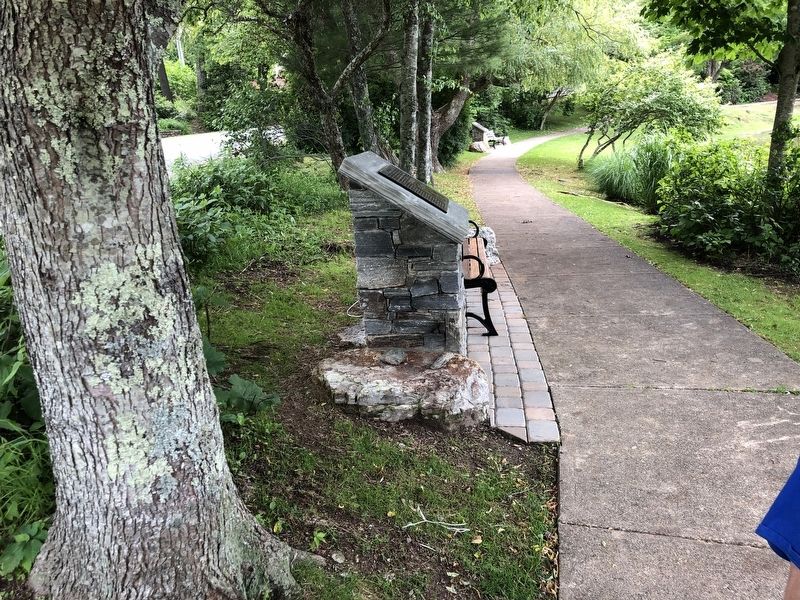
Location. 36° 7.989′ N, 81° 40.856′ W. Marker is in Blowing Rock, North Carolina, in Watauga County. It can be reached from the intersection of Laurel Lane and Wallingford Street. Marker is on the paved path around Mayview Lake in Broyhill Park. Touch for map. Marker is in this post office area: Blowing Rock NC 28605, United States of America. Touch for directions.

Regionally, this marker is in andspecifically he Mountains in the High Country. It is also in the American South, specifically in the Upper South, in Appalachia, and specifically in Southern Appalachia. Globally, it is in North America, the Western Hemisphere, the Western World, and the Anglosphere. Historically, it finds itself in what was once the original Cherokee Nation, the territory of the Mississippian Culture, one of the original Thirteen Colonies, one of the Confederate States of America, and the Antebellum South.
Other nearby markers. At least 8 other markers are
Photographed by Duane and Tracy Marsteller, June 24, 2023
2. A Wet or Dry Town Marker
Credits. This page was last revised on July 24, 2023. It was originally submitted on July 22, 2023, by Duane and Tracy Marsteller of Murfreesboro, Tennessee. This page has been viewed 337 times since then and 43 times this year. Photos: 1, 2. submitted on July 22, 2023, by Duane and Tracy Marsteller of Murfreesboro, Tennessee.
