Sharon Township in Sharon Hollow in Washtenaw County, Michigan — The American Midwest (Great Lakes)
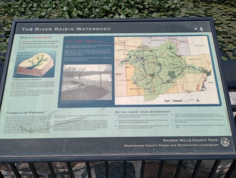
The River Raisin Watershed
What is a watershed?
A watershed is the land area that drains to a particular stream, river or lake.
Water flows downhill from high points such as hills and collects in low points. Streams flow at low elevations in the watershed.
1st order tributary
2nd order tributary
3rd order stream
Simplified Diagram of a Watershed
Small streams that flow into larger rivers are called tributaries. Scientists classify streams based on how many tributaries they have. A stream with no tributaries is called a first order stream. A stream with two or more first order tributaries is called a second order stream, and so on.
The River Raisin has many tributaries, including Goose Creek, Wolf Creek, and Mason Creek. The River Raisin watershed is part of the Lake Erie watershed, which also contains parts of Michigan, Ohio, Pennsylvania, New York, and Ontario.
Changes in the Watershed
For thousands of years prior to European settlement, the River Raisin watershed was an expanse of forest, swamp and prairie, with a few Native American settlements. In the mid-18008 arriving settlers began to change the watershed, building dams, clearing forests and draining wetlands for agriculture. In the 1900s. factories were built along the Raisin, in many cases discharging pollutants directly into the stream. Its lower reaches were lined with concrete to reduce flooding While many of these changes were important to the region's growth and productivity, they have also had environmental costs, including loss of habitat for many kinds of fish and wildlife that were common in the watershed, and a reduction in water quality.
In the last few decades, communities have begun to recognize the importance of a healthy watershed. Regulations and programs have reduced the amount of pollutants released into the Raisin, encouraged better farming practices, and reduced the destruction of wetlands. Conservation organizations continue to work to preserve land in the watershed and monitor water quality. Today, the River Raisin watershed is heading toward a better future.
You Are Here!
Sharon Mills is located in the Upper River Raisin watershed, along a high-quality stretch of the river.
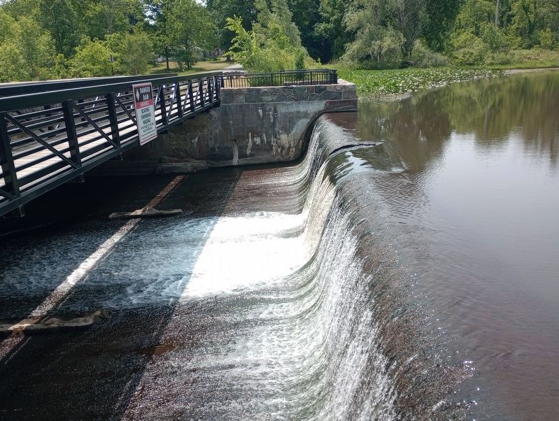
Early settlers of Sharon Hollow built a dam here. What differences can you see between the mill pond and the river below the dam? What do you think this place looked like before the dam was built
Below is a photo of the mill pond taken in the 1930s. How has this scene changed since then?
From the Collections of Henry Ford Museum & Greenfield Village
Do You Know Your Watershed?
The River Raisin was formed by meltwater from the glaciers that retreated from Michigan 10,000 years ago.
The River Raisin and its tributaries drain approximately 1,080 square miles. including portions of five Michigan Counties.
The River Raisin is 150 miles long and has a total drop in elevation of 480 feet from its headwaters to its mouth at Lake Erie.
Legend has it that the River Raisin was given its name by French explorers, who observed Native Americans drying wild grapes on its banks.
The Native American name for the River Raisin was "Nummasepee" or River of Sturgeon.
There are 429 lakes and ponds in the watershed and over 60 man-made dams.
Erected by Sharon Mills County Park and Washtinaw County Parks and Recreation Commission.
Topics. This historical marker is listed in these topic lists: Natural Resources • Waterways & Vessels.
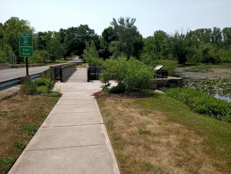
Location. 42° 10.612′ N, 84° 5.587′ W. Marker is in Sharon Hollow, Michigan, in Washtenaw County. It is in Sharon Township. Marker is on Sharon Hollow Road, on the right when traveling south. Touch for map. Marker is at or near this postal address: 5701 Sharon Hollow Rd, Manchester MI 48158, United States of America. Touch for directions.
Other nearby markers. At least 8 other markers are within 4 miles of this marker, measured as the crow flies. Harnessing The Power Of The River Raisin (within shouting distance of this marker); Exploring The History Of Sharon Mills (within shouting distance of this marker); Along The Rivers Edge (within shouting distance of this marker); Welcome To Sharon Mills County Park! (about 300 feet away, measured in a direct line); Native American Trails (approx. 2.8 miles away); Manchester War Memorial (approx. 3 miles away); Manchester's Old Burying Ground (approx. 3.2 miles away); Founding Members of Immanuel United Evangelical Church (approx. 3.2 miles away). Touch for a list and map of all markers in Sharon Hollow.
Credits. This page was last revised on August 24, 2023. It was originally submitted on July 23, 2023, by Craig Doda of Napoleon, Ohio. This page has been viewed 59 times since then and 15 times this year. Photos: 1, 2, 3. submitted on July 23, 2023, by Craig Doda of Napoleon, Ohio. • J. Makali Bruton was the editor who published this page.


