Charleston in Kanawha County, West Virginia — The American South (Appalachia)
A Growing City
Hemmed in by Rivers, Railroads, and Mountains
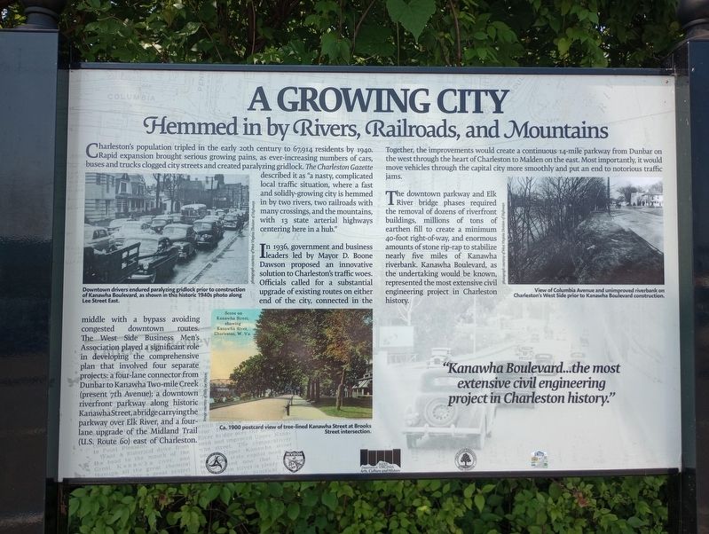
Charleston's population tripled in the early 20th century to 67,914 residents by 1940. Rapid expansion brought serious growing pains, as ever-increasing numbers of cars, buses and trucks clogged city streets and created paralyzing gridlock. The Charleston Gazette described it as "a nasty, complicated local traffic situation, where a fast and solidly-growing city is hemmed in by two rivers, two railroads with many crossings, and the mountains, with 13 state arterial highways centering here in a hub."
In 1936, government and business leaders led by Mayor D. Boone Dawson proposed an innovative solution to Charleston's traffic woes. Officials called for a substantial upgrade of existing routes on either end of the city, connected in the middle with a bypass avoiding congested downtown routes. The West Side Business Men's Association played a significant role in developing the comprehensive plan that involved four separated projects: a four-lane connector from Dunbar to Kanawha Two-mile Creek (present 7th Avenue); a downtown riverfront parkway along historic pr Kanawha Street, abridge carrying the parkway over Elk River, and a four-ma lane upgrade of the Midland Trail Our (U.S. Route 60) east of Charleston.
Together, the improvements would create a continuous 14-mile parkway from Dunbar on the west through the heart of Charleston to Malden on the east. Most importantly, it would move vehicles through the capital city more smoothly and put an end to notorious traffic jams.
The downtown parkway and Elk River bridge phases required the removal of dozens of riverfront buildings, millions of tons of earthen fill to create a minimum 40-foot right-of-way, and enormous amounts of stone rip-rap to stabilize nearly five miles of Kanawha riverbank. Kanawha Boulevard, as the undertaking would be known, represented the most extensive civil engineering project in Charleston history.
Downtown drivers endured paralyzing gridlock prior to construction of Kanawha Boulevard, as shown in this historic 1940s photo along Lee Street East.
"Kanawha Boulevard…the most extensive civil engineering project in Charleston history."
Topics. This historical marker is listed in these topic lists: Industry & Commerce • Railroads & Streetcars • Roads & Vehicles • Settlements & Settlers. A significant historical year for this entry is 1940.
Location. 38° 21.983′ N, 81° 40.009′ W. Marker is in Charleston, West Virginia, in Kanawha County. Marker is on Kanawha Boulevard West west of Stockton Street, on the right when traveling east. Touch for map. Marker is at or near this postal address: 1620 Kanawha Blvd W, Charleston WV 25387, United States of America. Touch for directions.
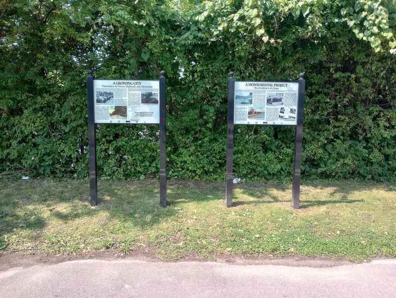
Other nearby markers. At least 8 other markers are within walking distance of this marker. A Monumental Project (here, next to this marker); Alex Schoenbaum (within shouting distance of this marker); Spicer Patrick (approx. 0.2 miles away); Baptism By Fire (approx. 0.3 miles away); William H. Davis (approx. 0.3 miles away); War At The Front Door (approx. half a mile away); Little Page Terrace Public Housing (approx. half a mile away); George W. Summers (approx. 0.7 miles away). Touch for a list and map of all markers in Charleston.
Credits. This page was last revised on July 28, 2023. It was originally submitted on July 24, 2023, by Craig Doda of Napoleon, Ohio. This page has been viewed 51 times since then and 11 times this year. Photos: 1, 2. submitted on July 24, 2023, by Craig Doda of Napoleon, Ohio. • Devry Becker Jones was the editor who published this page.

