Germantown in Montgomery County, Ohio — The American Midwest (Great Lakes)
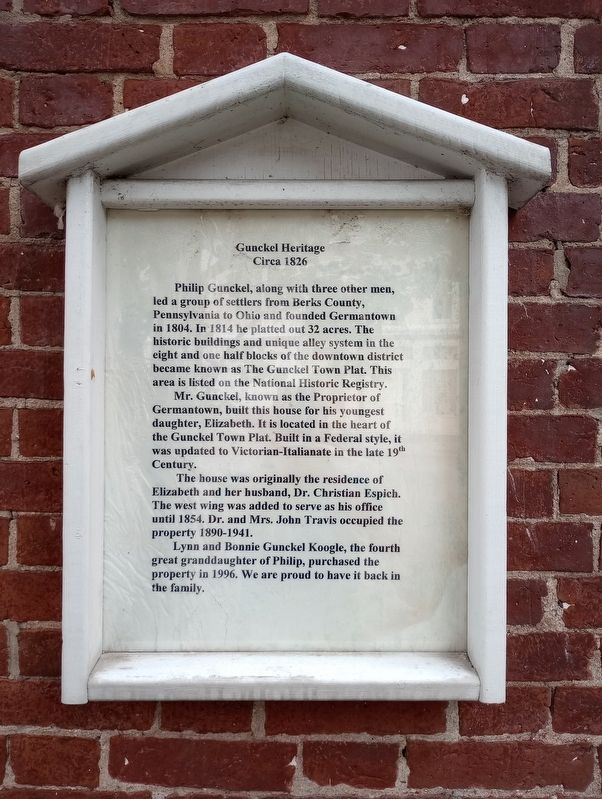
Gunckel Heritage
Circa 1826
Photographed by Craig Doda, July 2, 2023
1. Gunckel Heritage Marker
Philip Gunckel, along with three other men, led a group of settlers from Berks County, Pennsylvania to Ohio and founded Germantown in 1804. In 1814 he platted out 32 acres. The historic buildings and unique alley system in the eight and one half blocks of the downtown district became known as The Gunckel Town Plat. This area is listed on the National Historic Registry.
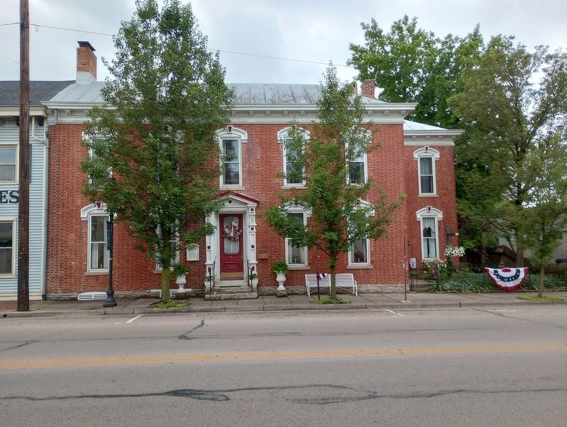
Mr. Gunckel, known as the Proprietor of Germantown, built this house for his youngest daughter, Elizabeth. It is located in the heart of the Gunckel Town Plat. Built in a Federal style, it was updated to Victorian-Italianate in the late 19th Century.
The house was originally the residence of Elizabeth and her husband, Dr. Christian Espich. The west wing was added to serve as his office until 1854. Dr. and Mrs. John Travis occupied the property 1890-1941.
Lynn and Bonnie Gunckel Koogle, the fourth great granddaughter of Philip, purchased the property in 1996. We are proud to have it back in the family.
Topics. This historical marker is listed in these topic lists: Architecture • Settlements & Settlers. A significant historical year for this entry is 1804.
Location. 39° 37.555′ N,
this page online

Regionally, this marker is in the Dayton Metro and in the Miami Valley. It is also in the American Midwest and in the Corn Belt. Globally, it is in North America, the Western Hemisphere, the Western World, and the Anglosphere. Historically, it finds itself in what was once the Haudenosaunee (Iroquois) Confederacy, the territory of the Mississippian Culture, and the Northwest Territory.
Other nearby markers. At least 8 other markers are within 2 miles of this marker, measured as the crow flies: The Shuey House (about 400 feet away, measured in a direct line); Germantown Veterans Memorial (approx. ¼ mile away); Germantown Covered Bridge (approx. 0.3 miles away); Germantown's Famous Covered Bridge (approx. 0.3 miles away); Shuey Mill (approx. 0.3 miles away); Germantown (approx. half a mile away); Veterans Memorial
Photographed by Craig Doda, July 2, 2023
2. Gunckel Heritage Marker
Another marker is no longer nearby. The Village of Germantown (was about 400 feet away but has been confirmed missing).
Photographed by Craig Doda, July 2, 2023
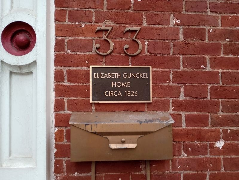
3. Sign on the house
Credits. This page was last revised on August 3, 2023. It was originally submitted on July 24, 2023, by Craig Doda of Napoleon, Ohio. This page has been viewed 564 times since then and 73 times this year. Photos: 1, 2, 3. submitted on July 24, 2023, by Craig Doda of Napoleon, Ohio. • Devry Becker Jones was the editor who published this page.
