Napier in Braxton County, West Virginia — The American South (Appalachia)
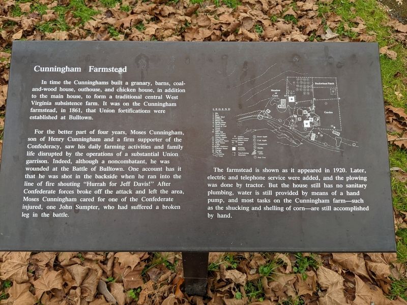
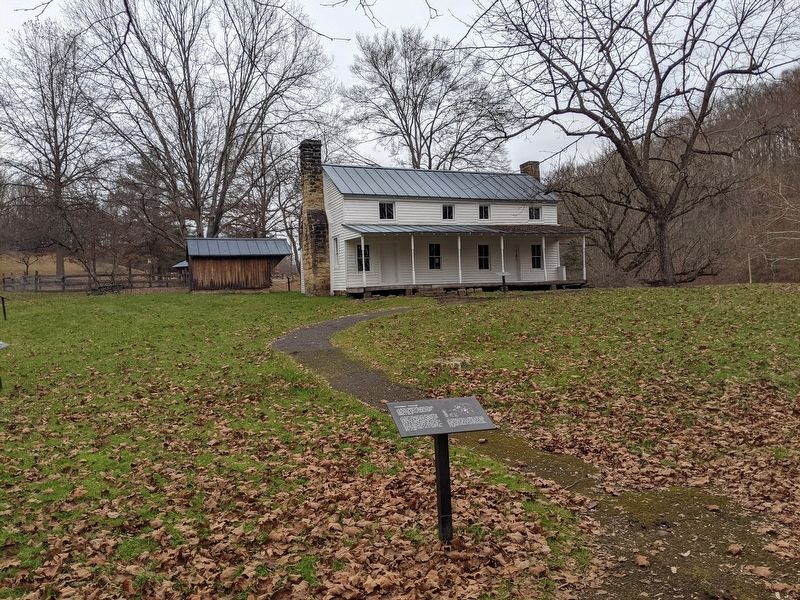
Cunningham Farmstead
Photographed by Mike Wintermantel, November 27, 2021
1. Cunningham Farmstead Marker
For the better part of four years, Moses Cunningham, son of Henry Cunningham and a firm supporter of the Confederacy, saw his daily farming activities and family life disrupted by the operations of a substantial Union garrison. Indeed, although a noncombatant, he was wounded at the Battle of Bulltown. One account has it that he was shot in the backside when he ran into the line of fire shouting "Hurrah for Jeff Davis!" After Confederate forces broke off the attack and left the area, Moses Cunningham cared for one of the Confederate injured, one John Sumpter, who had suffered a broken leg in the battle.
The farmstead is shown as it appeared 1920. Later, electric and telephone service were added, and the plowing was done by tractor. But the house still has no sanitary plumbing, water is still provided by means of a hand pump, and most
this page online
Topics. This historical marker is listed in this topic list: Notable Buildings. A significant historical year for this entry is 1861.
Location. 38° 47.558′ N, 80° 33.682′ W. Marker is in Napier, West Virginia, in Braxton County. It is on Millstone Run Road. Located on the grounds of the Bulltown Historic Area. Touch for map. Marker is at or near this postal address: 799 Millstone Run Rd, Napier WV 26631, United States of America. Touch for directions.

Regionally, this marker is in North Central West Virginia. It is also in the American South, specifically in the Upper South, in Appalachia, and specifically in Southern Appalachia. Globally, it is in North America, the Western Hemisphere, the Western World, and the Anglosphere. Historically, it finds itself in what was once the territory of the Mississippian Culture.
Other nearby markers. At least 8 other markers are within walking distance of this marker: Spring House (a few steps from this marker); Cunningham House (a few steps from this marker); Coal-and-Wood House (a few
Photographed by Mike Wintermantel, November 27, 2021
2. Cunningham Farmstead Marker
Credits. This page was last revised on July 25, 2023. It was originally submitted on July 25, 2023, by Mike Wintermantel of Pittsburgh, Pennsylvania. This page has been viewed 561 times since then and 95 times this year. Photos: 1, 2. submitted on July 25, 2023, by Mike Wintermantel of Pittsburgh, Pennsylvania.
