Berkeley in Alameda County, California — The American West (Pacific Coastal)
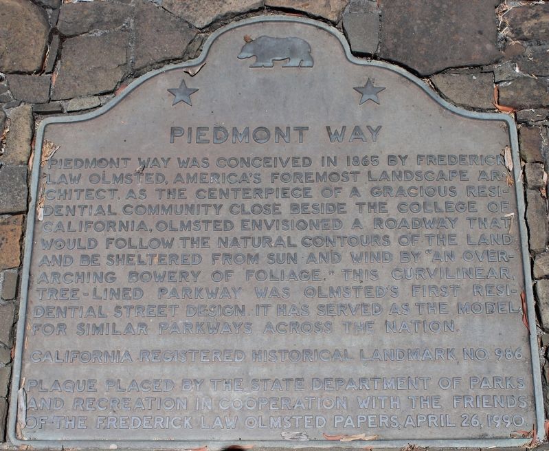
Piedmont Way
California Registered Landmark No. 986
Plaque placed by the State Department of Parks and Recreation in cooperation with the Friends of the Frederick Law Olmstead Paper, April 26, 1990.
Erected 1990 by California Department of Parks and Recreation / Friends of the Frederick Law Olmstead Papers. (Marker Number 986.)
Topics and series. This historical marker is listed in this topic list: Roads & Vehicles. In addition, it is included in the California Historical Landmarks series list. A significant historical year for this entry is 1865.
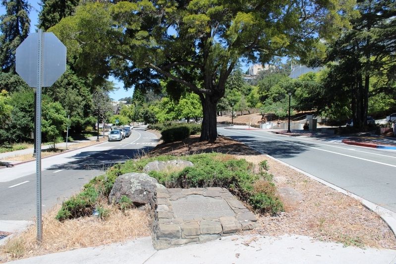
Location. 37° 52.183′ N, 122° 15.136′ W. Marker is in Berkeley, California, in Alameda County. Marker is at the intersection of Piedmont Way and Bancroft Way, in the median on Piedmont Way. Touch for map. Marker is in this post office area: Berkeley CA 94704, United States of America. Touch for directions.
Other nearby markers. At least 8 other markers are within walking distance of this marker. John Fitzgerald Kennedy Charter Day Speech (approx. 0.2 miles away); Orchard Lane (approx. 0.2 miles away); Panoramic Hill (approx. 0.2 miles away); Ernest V. Cowell Memorial Hospital (approx. 0.2 miles away); Berkeley Piano Club (approx. ¼ mile away); Gilman Hall (approx. 0.3 miles away); Fred Turner Building (approx. 0.3 miles away); First Church of Christ, Scientist (approx. 0.4 miles away). Touch for a list and map of all markers in Berkeley.
Also see . . . Piedmont Way. Berkeley Architectural Heritage Association
"Although best known for his mid-to-late 19th century landscape design work on the East Coast, Frederick Law Olmsted created his first residential subdivision in Berkeley."(Submitted on July 26, 2023, by Joseph Alvarado of Livermore, California.)
Credits. This page was last revised on July 26, 2023. It was originally submitted on July 26, 2023, by Joseph Alvarado of Livermore, California. This page has been viewed 74 times since then and 21 times this year. Photos: 1, 2. submitted on July 26, 2023, by Joseph Alvarado of Livermore, California.

