Mural District in Fresno in Fresno County, California — The American West (Pacific Coastal)
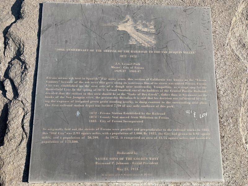
"100th Anniversary of the Arrival of the Railroad to the San Joaquin Valley"
1872 - 1972
| — | Z.S. Leymel Park Mayor - City of Fresno 1929-37 1941-47 | — |
February 20, 2020
1. 100th Anniversary Marker
1874 – County Seat moved from Millerton to Fresno
1885 – City of Fresno Incorporated
As originally laid out, the streets of Fresno were parallel and perpendicular to the railroad tracks. In 1885, this “Old City” was 2.94 square miles, with a population
this page online
Erected 1973 by Native Sons of the Golden West.
Topics and series. This historical marker is listed in these topic lists: Railroads & Streetcars • Settlements & Settlers. In addition, it is included in the Native Sons/Daughters of the Golden West series list. A significant historical year for this entry is 1872.
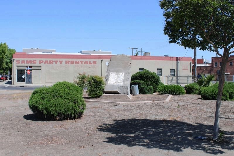
Location. Marker has been reported missing. It was located near 36° 44.607′ N, 119° 48.12′ W. Marker was in Fresno, California, in Fresno County. It was in the Mural District. It was at the intersection of Divisadero Street and Broadway, on the right when traveling east on Divisadero Street. The marker is in a small triangle of land, Z.S. Leymel Park, formed by Divisadero, Broadway and the northbound Broadway turn lane. Touch for map. Marker was in this post office area: Fresno CA 93721, United States of America. Touch for directions.

Regionally, this marker was in the San Joaquin Valley, specifically in the Central Valley, and in the Sierra
Photographed by Joseph Alvarado, May 4, 2022
2. 100th Anniversary Marker
The marker is currently missing.
Other nearby markers. At least 8 other markers are within walking distance of this location: Fresno Technical School (approx. 0.7 miles away); Via Liberation (approx. 0.8 miles away); Fresno Memorial Auditorium (approx. 0.8 miles away); Fresno Corridor of Flags Veterans Memorial (approx. 0.8 miles away); Green Bush Spring (approx. 0.8 miles away); Lao Hmong American War Memorial (approx. 0.8 miles away); Site of the Fresno Free Speech Fight (approx. 0.9 miles away); Fresno County Courthouse (approx. 0.9 miles away). Touch for a list and map of all markers in Fresno.
More about this marker. A beautification project of Leymel Park was slated to begin in April 2020. The marker may have been moved.
Photographed by Joseph Alvarado, May 4, 2022
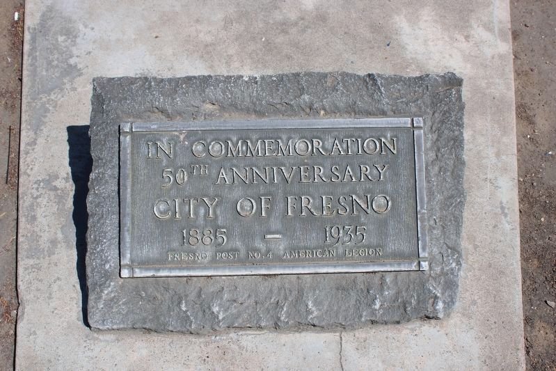
3. An additional 50th Anniversary Marker in the park
Credits. This page was last revised on October 28, 2024. It was originally submitted on November 7, 2020, by James King of San Miguel, California. This page has been viewed 1,297 times since then and 86 times this year. Last updated on July 27, 2023, by Ronald D. (Ron) Trigueiro of Fresno, California. Photos: 1. submitted on November 7, 2020, by James King of San Miguel, California. 2, 3. submitted on May 5, 2022, by Joseph Alvarado of Livermore, California. • J. Makali Bruton was the editor who published this page.
