Strathcona in Hamilton, Ontario — Central Canada (North America)
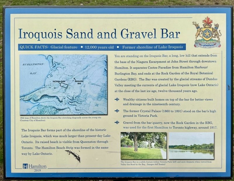
Iroquois Sand and Gravel Bar
Quick Facts: Glacial feature - 12,000 years old. - Former shoreline of Lake Iroquois
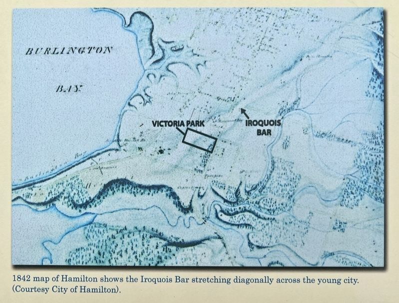
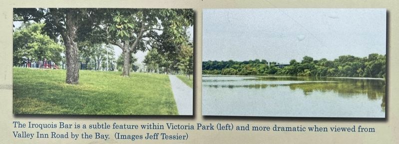
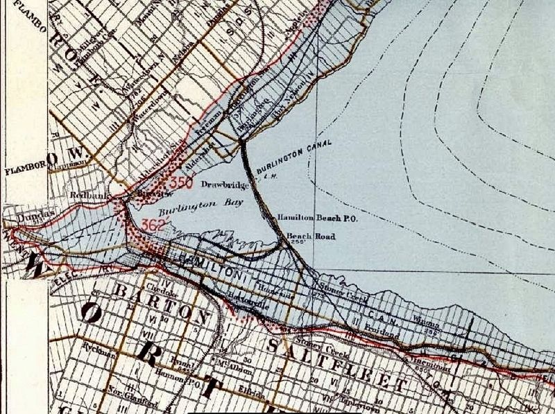
You are standing on the Iroquois Bar, a long, low hill that extends from the base of the Niagara Escarpment at John Street through downtown Hamilton. It separates Cootes Paradise from Hamilton Harbour/Burlington Bay, and ends at the Rock Garden of the Royal Botanical Gardens (RBG). The Bar was created by the glacial streams of Dundas Valley meeting the currents of glacial Lake Iroquois (now Lake Ontario) at the close of the last ice age, twelve thousand years ago.
- Wealthy citizens built homes on top of the bar for better views and drainage in the nineteenth century.
- The former Crystal Palace (1860 to 1891) stood on the bar's high ground in Victoria Park.
- Gravel from the bar quarry, now the Rock Garden in the RBG, was used for the first Hamilton to Toronto highway, around 1917.
The Iroquois Bar forms part of the shoreline of the historic Lake Iroquois, which was much larger than present day Lake Ontario. Its raised beach is visible from Queenston through Toronto. The Hamilton Beach Strip was formed in the same way by Lake Ontario.
Erected 2019 by City of Hamilton.
Topics. This historical marker is listed in this topic list: Natural Features.
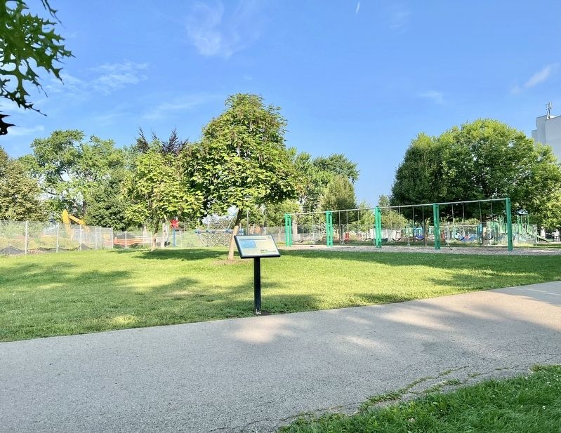
Location. 43° 15.82′ N, 79° 52.948′ W. Marker is in Hamilton, Ontario. It is in Strathcona. Marker is at the intersection of Locke Street North and Peter Street, on the left on Locke Street North. The marker is in Victoria Park. Touch for map. Marker is in this post office area: Hamilton ON L8R L8R, Canada. Touch for directions.
Other nearby markers. At least 8 other markers are within walking distance of this marker. Semmens, Ward and Evel Casket Company (about 90 meters away, measured in a direct line); St. George’s Anglican Church (about 120 meters away); Zion United Church (about 120 meters away); Strathcona School (about 120 meters away); Crystal Palace and Grounds (about 150 meters away); Early West End Hotels (about 180 meters away); Strathcona Avenue Fire Hall (about 210 meters away); Erskine Presbyterian Church (about 210 meters away). Touch for a list and map of all markers in Hamilton.
Credits. This page was last revised on July 28, 2023. It was originally submitted on July 28, 2023, by Tim Boyd of Hamilton, Ontario. This page has been viewed 91 times since then and 46 times this year. Photos: 1, 2, 3, 4, 5. submitted on July 28, 2023, by Tim Boyd of Hamilton, Ontario. • Andrew Ruppenstein was the editor who published this page.
