Holy Neck in Suffolk, Virginia — The American South (Mid-Atlantic)
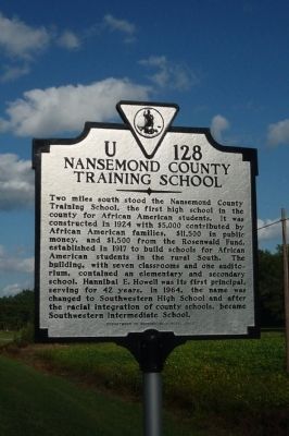
Nansemond County Training School
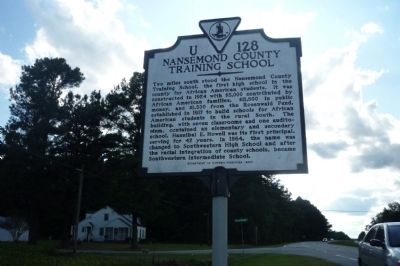
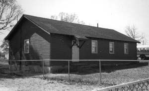
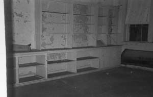
Two miles south stood the Nansemond County Training School, the first high school in the county for African American students. It was constructed in 1924 with $5,000 contributed by African American families, $11,500 in public money, and $1,500 from the Rosenwald Fund established in 1917 to build schools for African American students in the rural South. The building, with seven classrooms and one auditorium, contained an elementary and secondary school. Hannibal E. Howell was its first principal, serving for 42 years. In 1964, the name was changed to Southwestern High School and after the racial integration of county schools, became Southwestern Intermediate School.
Erected 2007 by Department of Historic Resources. (Marker Number U-128.)
Topics and series. This historical marker is listed in these topic lists: African Americans • Education. In addition, it is included in the Rosenwald Schools, and the Virginia Department of Historic Resources (DHR) series lists. A significant historical year for this entry is 1924.
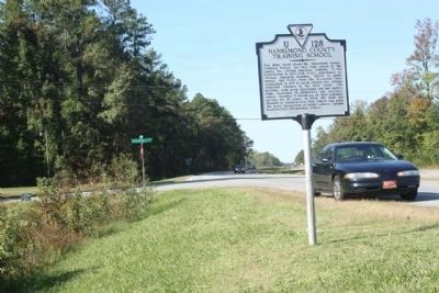
Location. 36° 39.287′ N, 76° 49.265′ W. Marker is in Suffolk, Virginia. It is in Holy Neck. Marker is on South Quay Road (U.S. 58) east of Leafwood Road, on the right when traveling east. Touch for map. Marker is in this post office area: Suffolk VA 23437, United States of America. Touch for directions.
Other nearby markers. At least 8 other markers are within 6 miles of this marker, measured as the crow flies. Mount Sinai Baptist Church (approx. 1.3 miles away); Ruritan National Monument (approx. 2.9 miles away); First Ruritan Club (approx. 2.9 miles away); John Beverley Rose (approx. 5 miles away); George Fox Monument (approx. 5.2 miles away); Somerton Friends Meeting (approx. 5.2 miles away); South Quay (approx. 5.6 miles away); The Blackwater Line (approx. 5.6 miles away). Touch for a list and map of all markers in Suffolk.
More about this marker. Nansemond County no longer exists as a Virginia county. It became the independent city of Nansemond in 1972 and 18 months later, on January 1, 1974, it was merged with the independent city of Suffolk.
Also see . . . Nansemond County Training School. Virginia Department of Historic Resources website entry (Submitted on April 19, 2022, by Larry Gertner of New York, New York.)
Credits. This page was last revised on February 1, 2023. It was originally submitted on October 3, 2009, by Richard E. Miller of Oxon Hill, Maryland. This page has been viewed 1,387 times since then and 58 times this year. Photos: 1, 2. submitted on October 3, 2009, by Richard E. Miller of Oxon Hill, Maryland. 3, 4, 5. submitted on October 25, 2011, by Mike Stroud of Bluffton, South Carolina. • J. J. Prats was the editor who published this page.
