McGehee in Desha County, Arkansas — The American South (West South Central)
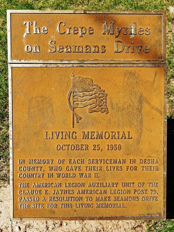
The Crepe Myrtles on Seamans Drive
Living Memorial
| — | October 25, 1950 | — |
Photographed by Cosmos Mariner, July 19, 2023
1. The Crepe Myrtles on Seamans Drive Marker
In memory of each serviceman in Desha County, who gave their lives for their country in World War II.
The American Legion Auxiliary Unit of the Claude E. Jaynes American Legion Post 79, passed a resolution to make Seamans Drive the site for this living memorial.
Topics. This memorial is listed in this topic list: War, World II.
Location. 33° 37.696′ N, 91° 23.755′ W. Memorial is in McGehee, Arkansas, in Desha County. It is at the intersection of North First Street (U.S. 278) and East Seamans Drive, on the right when traveling north on North First Street. Marker is at the northeast corner of the intersection. Touch for map. Memorial is in this post office area: Mc Gehee AR 71654, United States of America. Touch for directions.

Regionally, this memorial is in the Arkansas Delta, in the Mississippi Alluvial Plain, and in the Quapaw Homeland. It is also in the American South, specifically in the Deep South, in the Upper South, in the Mississippi Delta, in the Piney Woods, and in the Great River Road Region. Globally, it is in North America, the Western Hemisphere,
this page online
Other nearby markers. At least 8 other markers are within 12 miles of this marker, measured as the crow flies: First Church and School in McGehee (about 500 feet away, measured in a direct line); Early Railroads in Chicot County (approx. 7.3 miles away); Arkansas City River Port (approx. 11.2 miles away); Arkansas City Commercial Historic District (approx. 11.2 miles away); Desha County (approx. 11.2 miles away); Flood of 1927 (approx. 11.2 miles away); The X. O. Pindall Law Office (approx. 11.2 miles away); a different marker also named Desha County (approx. 11.2 miles away).
Photographed by Cosmos Mariner, July 19, 2023
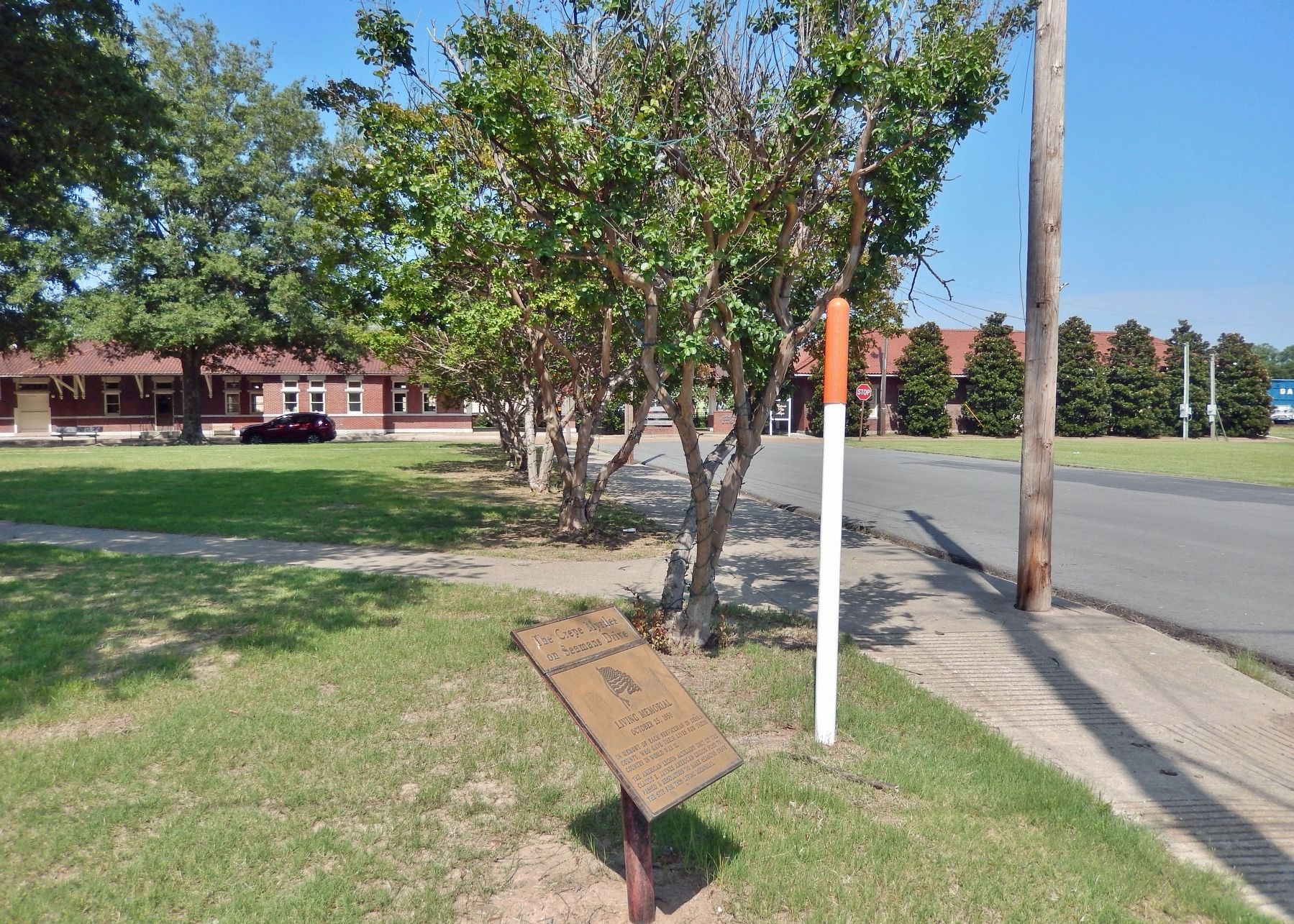
2. The Crepe Myrtles on Seamans Drive Marker
Credits. This page was last revised on July 30, 2023. It was originally submitted on July 29, 2023, by Cosmos Mariner of Cape Canaveral, Florida. This page has been viewed 180 times since then and 20 times this year. Photos: 1, 2. submitted on July 30, 2023, by Cosmos Mariner of Cape Canaveral, Florida.
Editor’s want-list for this marker. A photo of the crepe myrtles in bloom • Can you help?
