Eureka Springs in Carroll County, Arkansas — The American South (West South Central)
The Potter's Field
Established 1880
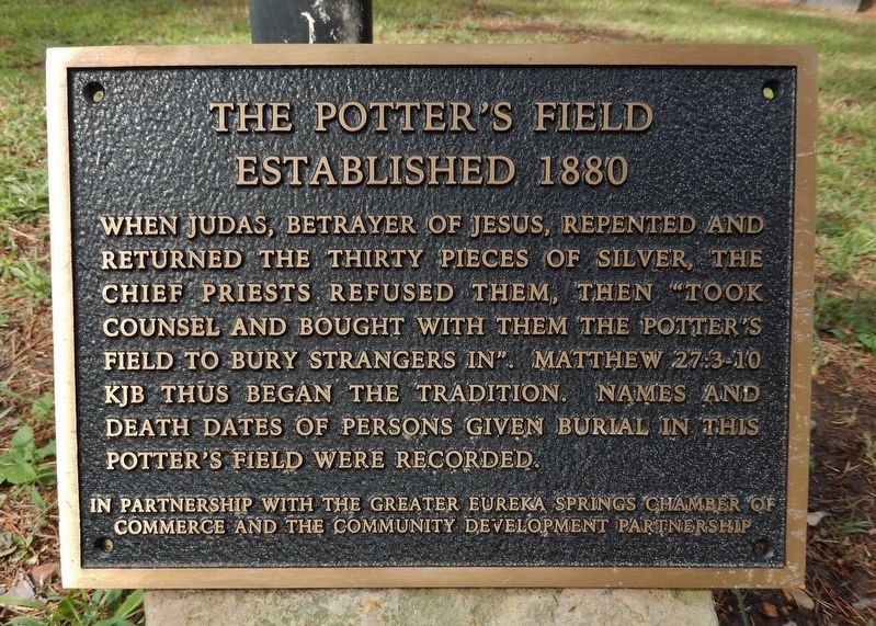
When Judas, betrayer of Jesus, repented and returned the thirty pieces of silver, the chief priests refused them, then “took counsel and bought with them the Potter’s Field to bury strangers in”. Matthew 27:3-10 KJB thus began the tradition. Names and death dates of persons given burial in this Potter’s Field were recorded.
Erected by The Greater Eureka Springs Chamber of Commerce and The Community Development Partnership.
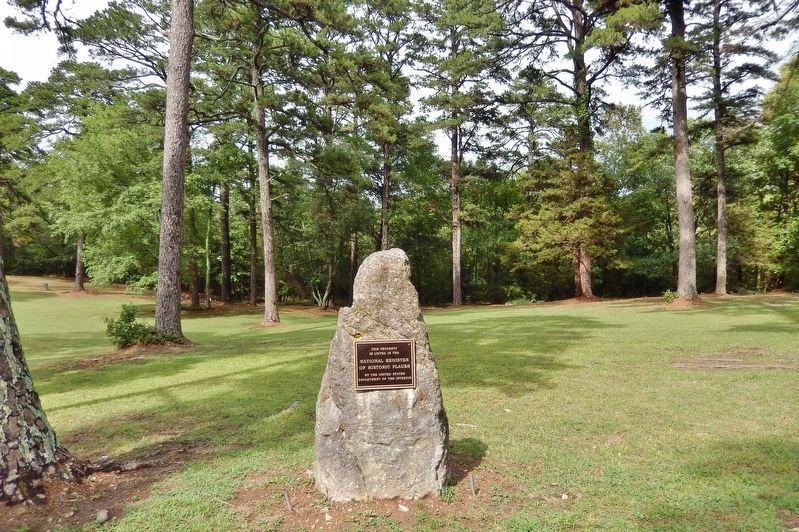
Topics and series. This historical marker is listed in this topic list: Cemeteries & Burial Sites. In addition, it is included in the National Register of Historic Places series list. A significant historical year for this entry is 1880.
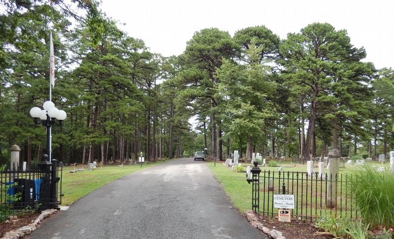
Location. 36° 24.001′ N, 93° 42.312′ W. Marker is in Eureka Springs, Arkansas, in Carroll County. Marker can be reached from East Van Buren (U.S. 62) just west of County Road 205, on the right when traveling west. Marker is located in the northeast quadrant of Eureka Springs Cemetery. Touch for map. Marker is in this post office area: Eureka Springs AR 72632, United States of America. Touch for directions.
Other nearby markers. At least 8 other markers are within 2 miles of this marker, measured as the crow flies. The I.O.O.F. Cemetery (about 700 feet away, measured in a direct line); The Berlin Wall (approx. 1.2 miles away); Concord School House (approx. 1˝ miles away); Magnetic Spring (approx. 1.6 miles away); Laundry Spring (approx. 1.6 miles away); Few Things But Staples … (approx. 1.7 miles away); Mud Street to Main Street (approx. 1.7 miles away); The Star of Gladness (approx. 1.7 miles away). Touch for a list and map of all markers in Eureka Springs.
Regarding The Potter's Field. National Register of Historic Places #100002535, as Eureka Springs Cemetery.
From the National Register Nomination:
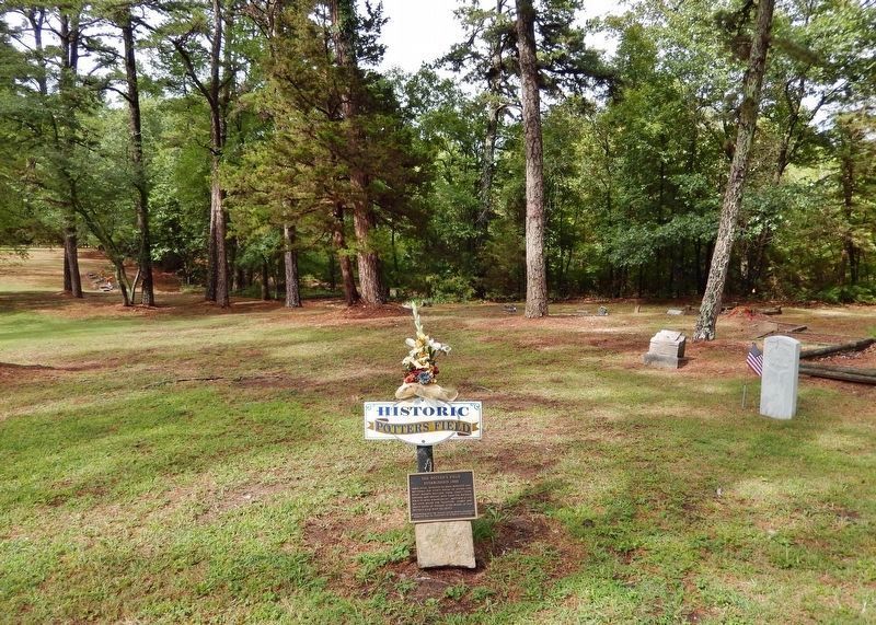
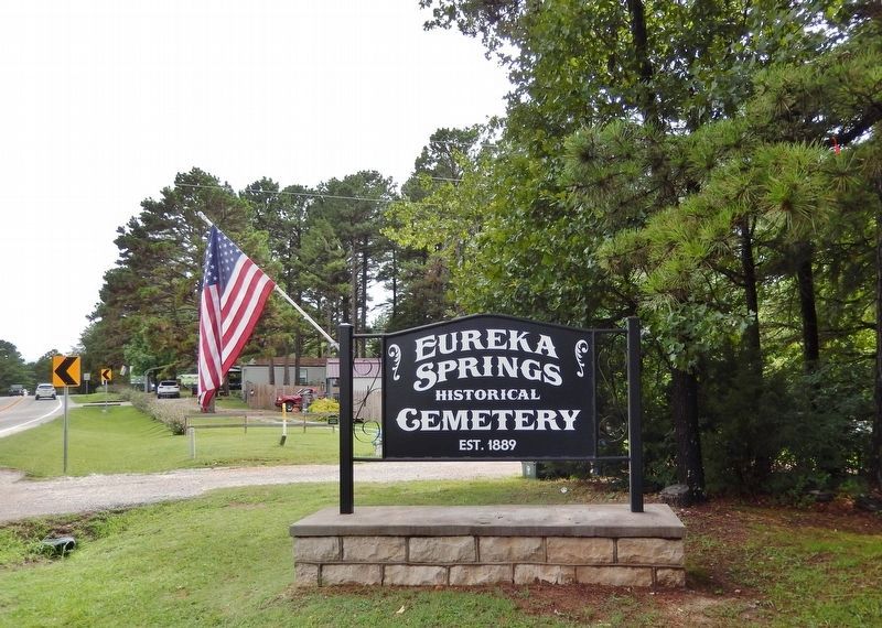
The cemetery was founded by the Independent Order of Odd Fellows (IOOF) Lodge No. 83 in 1889, although early accounts indicate the land may have been used as a burial ground as early as 1880. A portion of Blocks 76 and 77 were dedicated for use as a Potter’s Field. As the Cemetery continued to expand, lots within Blocks 7, 8 and 9 were also set aside for paupers’ graves. Although few markers are located within the Potter’s Field, the IOOF sexton recorded the biographical information and location of burial for each person interred.
Related markers. Click here for a list of markers that are related to this marker. Eureka Springs Cemetery
Also see . . .
Eureka Springs Cemetery. Wikipedia entry:
It was founded in 1889 by the local chapter of the International Order of Odd Fellows (IOOF), which managed it until 1965, when it was acquired by the city. The land was originally owned by the Lamar family, which used it as a family cemetery at least as early as 1880.(Submitted on July 31, 2023, by Cosmos Mariner of Cape Canaveral, Florida.)
Photographed By Cosmos Mariner, July 21, 2023
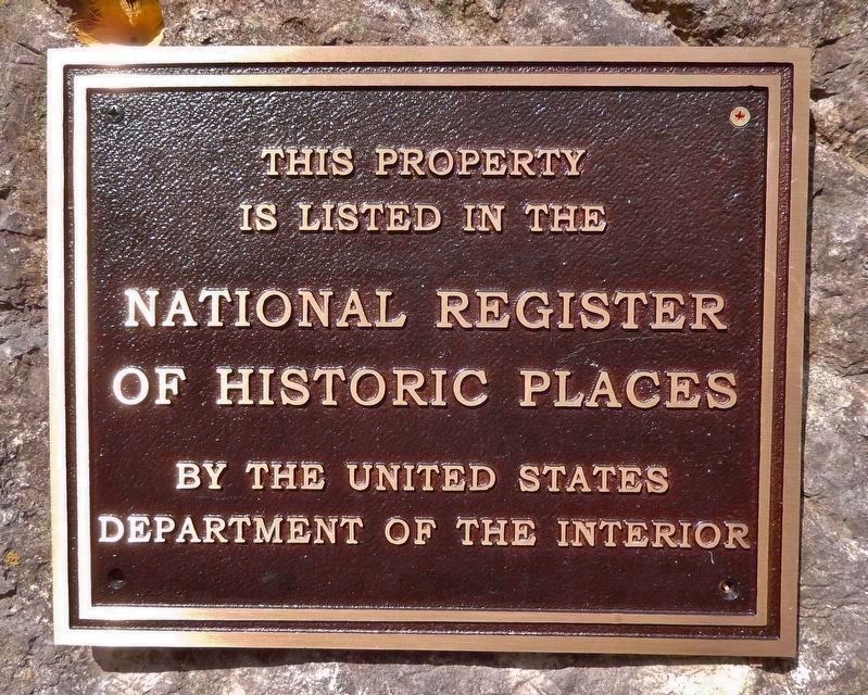
3. National Register of Historic Places Marker
(roughly at the center of Eureka Springs Cemetery)
National Register of Historic Places Registration Form:
Click for more information.
National Register of Historic Places Registration Form:
Click for more information.
Credits. This page was last revised on August 1, 2023. It was originally submitted on July 29, 2023, by Cosmos Mariner of Cape Canaveral, Florida. This page has been viewed 123 times since then and 47 times this year. Photos: 1, 2, 3, 4, 5, 6. submitted on July 31, 2023, by Cosmos Mariner of Cape Canaveral, Florida.
