South Nebraska in Tampa in Hillsborough County, Florida — The American South (South Atlantic)
The Scrub
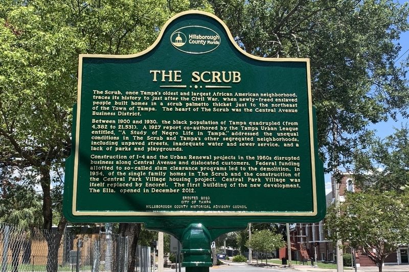
Photographed by Tim Fillmon, July 20, 2023
1. The Scrub Marker
The Scrub, once Tampa's oldest and largest African American neighborhood, traces its history to just after the Civil War, when newly-freed enslaved people built homes in a scrub palmetto thicket just to the northeast of the Town of Tampa. The heart of The Scrub was the Central Avenue Business District.
Between 1900 and 1930, the black population of Tampa quadrupled (from 4,382 to 21,531). A 1927 report co-authored by the Tampa Urban League entitled, "A Study of Negro Life in Tampa," addressed the unequal conditions in The Scrub and Tampa's other segregated neighborhoods, including unpaved streets, inadequate water and sewer service, and a lack of parks and playgrounds.
Construction of I-4 and the Urban Renewal projects in the 1960s disrupted business along Central Avenue and dislocated customers. Federal funding allotted to so-called slum clearance programs led to the demolition, in 1954, of the single family homes in The Scrub and the construction of the Central Park Village housing project. Central Park Village was itself replaced by Encore!. The first building of the new development, The Ella, opened in December
this page online
Erected 2023 by City of Tampa, Hillsborough County Historical Advisory Council.
Topics. This historical marker is listed in these topic lists: African Americans • Settlements & Settlers. A significant historical month for this entry is December 2012.
Location. 27° 57.387′ N, 82° 27.107′ W. Marker is in Tampa, Florida, in Hillsborough County. It is in South Nebraska. It is at the intersection of Scott Street and Blanche Armwood Street, on the right when traveling west on Scott Street. Touch for map. Marker is in this post office area: Tampa FL 33602, United States of America. Touch for directions.

Regionally, this marker is on Tampa Bay. It is also in the American South and on the Gulf Coast. Globally, it is in the North Atlantic Region, North America, a Gulf of Mexico state, the Western Hemisphere, the Western World, and the Anglosphere. Historically, it finds itself in what was once New Spain, the territory of the Mississippian Culture, one of the Confederate States of America, and the Antebellum South.
Other nearby markers. At least 8 other markers are within walking distance of this marker: St. Peter Claver Catholic School

Photographed by Tim Fillmon, July 20, 2023
2. The Scrub Marker and remaining two houses.
Regarding The Scrub. The pair of houses located here are supposed to be rehabilitated by the Tampa Housing Authority.(2022)
Also see . . . The Scrub Community. (Submitted on July 30, 2023, by Tim Fillmon of Webster, Florida.)
Credits. This page was last revised on January 4, 2026. It was originally submitted on July 30, 2023, by Tim Fillmon of Webster, Florida. This page has been viewed 3,738 times since then and 269 times this year. Photos: 1, 2. submitted on July 30, 2023, by Tim Fillmon of Webster, Florida.
