Near Midway in San Bernardino County, California — The American West (Pacific Coastal)
The Mojave Desert
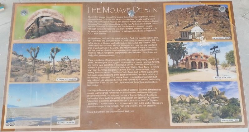
The 47,877 square miles of the Mojave Desert occupy a significant portion of southeastern California and extend into southern Nevada, southwestern Utah, and northwestern Arizona. The desert is named after the Mojave Native American tribe and is situated between the San Andreas and Garlock faults and the Tehachapi, San Gabriel, and San Bernardino mountain rages. Although famous for receiving less than 13 inches of rainfall per year and for its extreme temperatures, the desert is estimated to be home to more than 1,700 plant species.
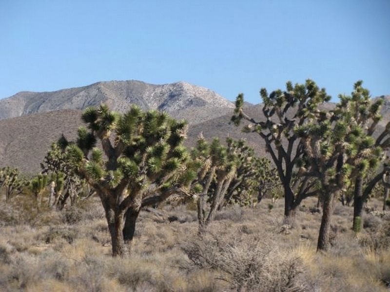
Mojave Desert landmarks include Charleston Peak, the desert’s highest point at 11,918 feet, and Badwater Basin in Death Valley, its lowest point at 282 feet below sea level. Botanic landmarks include the Joshua tree forest of Cima Dome and Shadow Valley, which is the largest and most densely populated area of Joshua trees in the world. The Mojave Desert is home to the desert tortoise, another inhabitant and an endangered species, with 350,000 acres of critical habitat. Altogether, approximately 700,000 acres of the desert are designated wilderness areas.
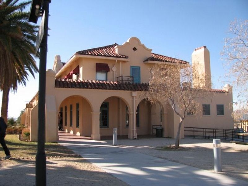
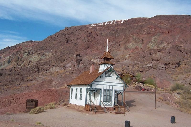
There is evidence of human activity in the desert possibly dating back 12,000 years. Archeological finds suggest trade and travel routes, ranching, farming, and mining were part of life in the Mojave Desert. From the 19th Century, numerous ghost towns inhabit the landscape. Calico Ghost Town – a mining town from the 1880’s that produced more than $20 million in silver ore is among the most famous. The Kelso Train Depot, built in 1924, signaled the first major railroad crossing of the desert and exhibits the characteristics of the heyday of rail travel. The Mojave Desert is located approximately halfway between Las Vegas and Joshua Tree National Park and the Modern-day construction of the I-15 and I-40 highways mark its northern and southern boundaries.
The Mojave Desert experiences two distinct seasons. In winter, temperatures can dip to 20 degrees Fahrenheit on the valley floor and below 0 degrees at higher elevations. Snow is rare, but not unknown. Between the clouds and wind of storm systems, winter temperatures can approach 80 degrees Fahrenheit. In summer, temperatures can soar to more than 120 degrees Fahrenheit. Thunderstorms and monsoon rains born in the Gulf of Mexico are drawn by summer’s low humidity, high temperatures, and low pressure.
This is the world of the Mojave Desert. Welcome.
Erected by National Park Service.
Topics. This historical marker is listed in these topic lists: Environment • Settlements & Settlers. A significant historical year for this entry is 1924.
Location. 35° 1.913′ N, 116° 28.18′ W. Marker is near Midway, California, in San Bernardino County. Marker is on Interstate 15, 34 miles north of Barstow, on the right when traveling north. The marker is in Clyde V. Kane Rest Area on I-15 Northbound. Touch for map. Marker is in this post office area: Baker CA 92309, United States of America. Touch for directions.
Other nearby markers. At least 6 other markers are within 12 miles of this marker, measured as the crow flies. Mojave Road (within shouting distance of this marker); Camp Cady (approx. 9˝ miles away); Harvard Reservoir (approx. 11.8 miles away); Harvard Mill (approx. 11.9 miles away); a different marker also named Camp Cady (approx. 12 miles away); Historic Mojave River Road (approx. 12.1 miles away).
Credits. This page was last revised on September 1, 2023. It was originally submitted on July 30, 2023, by Denise Boose of Tehachapi, California. This page has been viewed 46 times since then and 7 times this year. Photos: 1, 2, 3, 4, 5, 6. submitted on July 30, 2023, by Denise Boose of Tehachapi, California. • J. Makali Bruton was the editor who published this page.
