Near Pacifica in San Mateo County, California — The American West (Pacific Coastal)
Cut Off!
Connecting an Isolated Coast
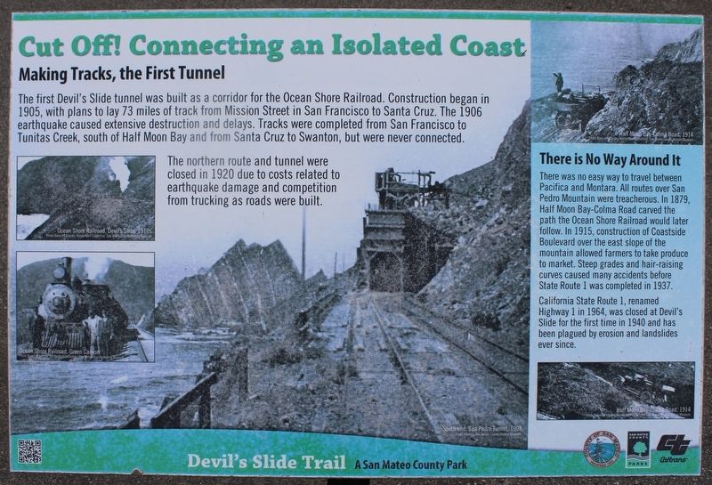
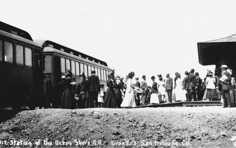
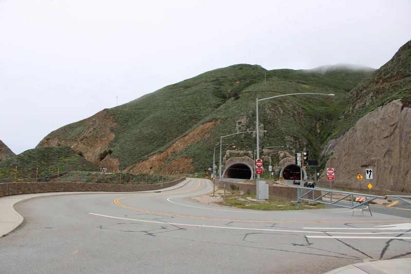
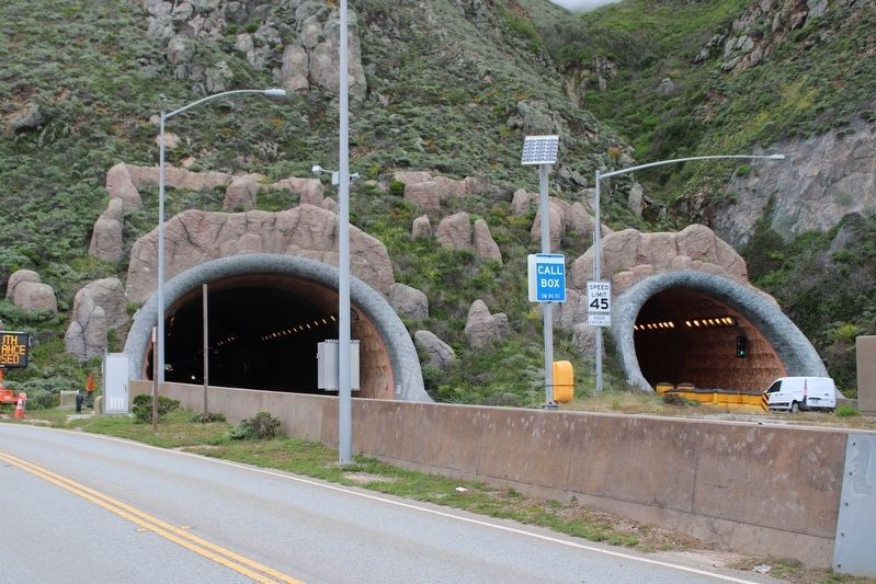
The first Devilís Slide tunnel was built as a corridor for the Ocean Shore Railroad. Construction began in 1905, with plans to lay 73 miles of track from Mission Street in San Francisco to Santa Cruz. The 1906 earthquake caused extensive destruction and delays. Tracks were completed from San Francisco to Tunitas Creek, south of Half Moon Bay and from Santa Cruz to Swanton, but were never connected.
The northern route and tunnel were closed in 1920 due to costs related to earthquake damage and competition from trucking as roads were built.
There is No Way Around It
There was no easy way to travel between Pacifica and Montara. All routes over San Pedro Mountain were treacherous. In 1879, Half Moon Bay-Colma Road carved the path the Ocean Shore Railroad would later follow. In 1915, construction of Coastside Boulevard over the east slope of the mountain allowed farmers to take produce to market. Steep grades and hair-raising curves caused many accidents before State Route 1 was completed in 1937.
California Route 1, renamed Highway 1 in 1964, was closed at Devilís Slide for the first time in 1940 and has been plaqued by erosion and landslides ever since.
Devilís Slide Trail A San Mateo County Park
Topics. This historical marker is listed in these topic lists: Railroads & Streetcars • Roads & Vehicles. A significant historical year for this entry is 1905.
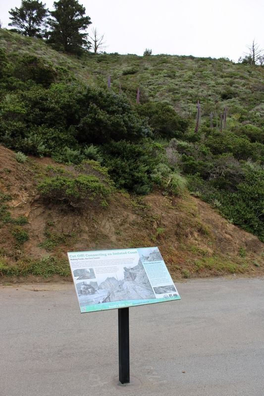
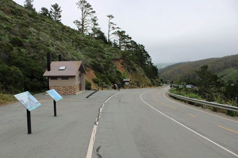
Location. 37° 35.131′ N, 122° 30.645′ W. Marker is near Pacifica, California, in San Mateo County. Marker is on Old Devil's Slide Highway west of Cabrillo Highway (California Route 1), on the right when traveling west. The resin marker is mounted to a metal post at the Devil's Slide Trailhead. Touch for map. Marker is in this post office area: Pacifica CA 94044, United States of America. Touch for directions.
Other nearby markers. At least 8 other markers are within 3 miles of this marker, measured as the crow flies. Open Spaces and Wild Places (here, next to this marker); Sanchez Adobe (approx. 0.9 miles away); Captain Don Gaspar de Portolŗ (approx. 1.1 miles away); Discovery of San Francisco Bay (approx. 1.1 miles away); Charles Gust 1888-1969 (approx. 1.8 miles away); Mori's Point Inn (approx. 2.6 miles away); The Enduring Aramai (approx. 2.6 miles away); A Rich Native History (approx. 2.7 miles away). Touch for a list and map of all markers in Pacifica.
More about this marker. Inset Images:
South end, San Pedro Tunnel, 1908. Photo courtesy San Mateo County History Museum
Ocean Shore Railroad, Devilís Slide, 1910s. Photo Bancroft Library, VanderWerf Collection. San Mateo Country History Museum
Ocean Shore Railroad, Green Canyon. Photo Bancroft Library, VanderWerf Collection, San Mateo County History Museum
Half Moon Bay-Colma Road, 1914. Photo Bancroft Library, VanderWerf Collection, San Mateo County History Museum
Haff Moon Bay-Colma Road, 1914. Photo Bancroft Library, VanderWerf Collection, San Mateo County History Museum
Also see . . .
1. Ocean Shore Railroad History. OceanShoreRailroad.org
"Incorporated in 1906, the Ocean Shore Railway Company planned to run a high-speed electric railway between San Francisco and Santa Cruz. To attract weekend excursions and tourists, the route would hug the shoreline as closely as possible. That decision was probably its undoing."(Submitted on July 30, 2023, by Joseph Alvarado of Livermore, California.)
2. Devil's Slide Historical Timeline. Devil's Slide Coast
"From the beginning, Devilís Slide Coast has been rugged and full of adventures. Today, we can access its majestic places and experience their biodiversity, history, and natural beauty in new ways."(Submitted on July 30, 2023, by Joseph Alvarado of Livermore, California.)
Credits. This page was last revised on July 30, 2023. It was originally submitted on July 30, 2023, by Joseph Alvarado of Livermore, California. This page has been viewed 84 times since then and 11 times this year. Photos: 1, 2, 3, 4, 5, 6. submitted on July 30, 2023, by Joseph Alvarado of Livermore, California.
