Near Mount Vernon in White County, Arkansas — The American South (West South Central)
The Colony / Mount Olive / Bedford Chapel Cemetery
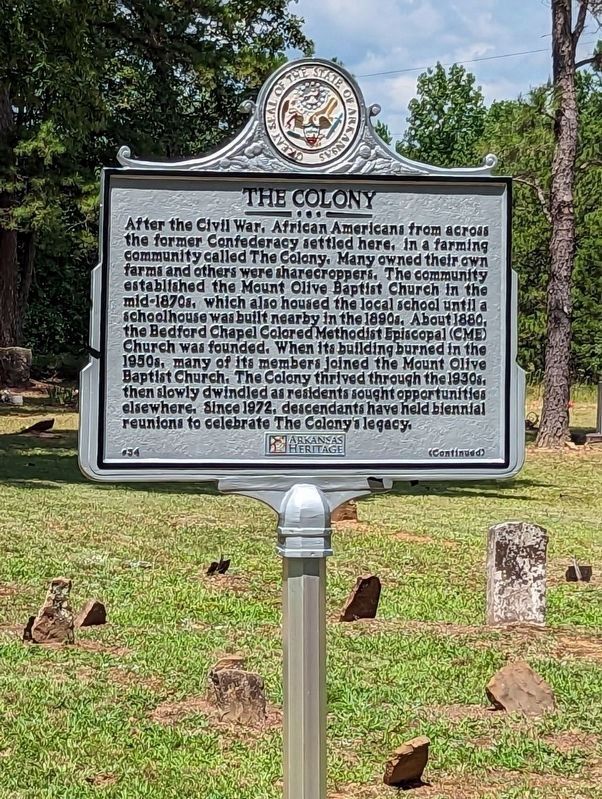
The Colony. After the Civil War, African Americans from across the former Confederacy settled here, in a farming community called The Colony. Many owned their own farms and others were sharecroppers. The community established the Mount Olive Baptist Church in the mid-1870s, which also housed the local school until a schoolhouse was built nearby in the 1890s. About 1880, the Bedford Chapel Colored Methodist Episcopal (CME) Church was founded. When its building burned in the 1950s, many of its members joined the Mount Olive Baptist Church. The Colony thrived though the 1930s, then slowly dwindled as residents sought opportunities elsewhere. Since 1972, descendants have held biennial reunions to celebrate The Colony’s legacy.
Mount Olive / Bedford Chapel Cemetery. The Mount Olive / Bedford Chapel Cemetery and Mount Olive Baptist Church are the last remnants of the African American community called The Colony. The cemetery contains more than 90 burials, marked and unmarked, dating from the early 20th century and continuing into the 21st. Members of both local churches, including early settlers of the community and veterans of both world wars, are buried here. Listed in the National Register of Historic Places in 2019, it is significant due to its association with the story of The Colony and for the fact that many graves exhibit funerary art and customs characteristic of similar rural African American communities.
Erected 2023 by The Mount Olive / Bedford Chapel Cemetery; White County Historical Society. (Marker Number 34.)
Topics and series. This historical marker is listed in these topic lists: African Americans • Cemeteries & Burial Sites • Churches & Religion • Settlements & Settlers. In addition, it is included in the Christian Methodist Episcopal (CME) Church series list. A significant historical year for this entry is 1880.
Location. 35° 15.116′ N, 92° 6.038′ W. Marker is near Mount Vernon, Arkansas, in White County. Marker is on Manning Road, ¼ mile west of Nix Road, on the right when traveling east. Touch for map. Marker is at or near this postal address: 371 Manning Rd, Mount Vernon AR 72111, United States of America. Touch for directions.
Other nearby markers. At least 3 other markers are within 17 miles of this marker, measured as the crow flies. Saint Genevieve Trail and the Old Military Road (approx. 14.6 miles away); Built by a Community with Love (approx. 16.7 miles away); Beebe Gold Star Family Memorial Monument (approx. 16.7 miles away).
Credits. This page was last revised on July 31, 2023. It was originally submitted on July 31, 2023, by Ashley Sides of Little Rock, Arkansas. This page has been viewed 66 times since then and 22 times this year. Photo 1. submitted on July 31, 2023, by Ashley Sides of Little Rock, Arkansas. • Devry Becker Jones was the editor who published this page.
Editor’s want-list for this marker. A photo of the other side of the marker. • A wide shot of the marker in context. • Can you help?
