Cayce in Lexington County, South Carolina — The American South (South Atlantic)
Congaree Creek Earthworks
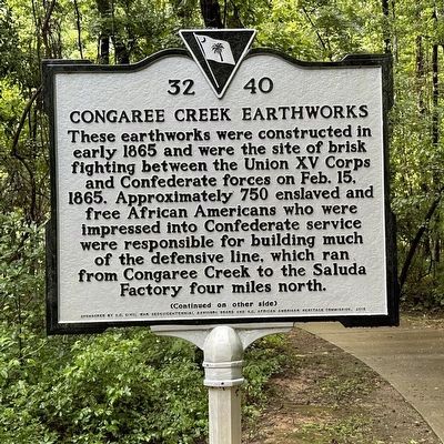
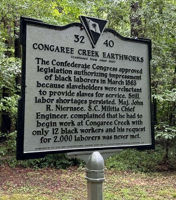
These earthworks were constructed in early 1865 and were the site of brisk fighting between the Union XV Corps and Confederate forces on Feb. 15, 1865. Approximately 750 enslaved and free African Americans who were impressed into Confederate service were responsible for building much of the defensive line, which ran from Congaree Creek to the Saluda Factory four miles north
Erected 2015 by S.C. Civil War Sesquicentennial Advisory Board and S.C. African Americans Heritage Commission. (Marker Number 32 40.)
Topics. This historical marker is listed in these topic lists: African Americans • War, US Civil. A significant historical date for this entry is February 15, 1865.
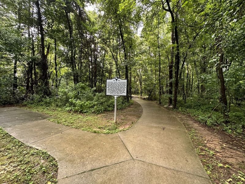
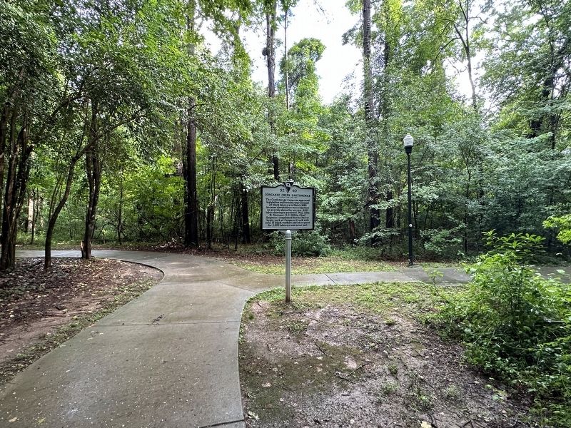
Location. 33° 56.327′ N, 81° 2.158′ W. Marker is in Cayce, South Carolina, in Lexington County. Marker can be reached from the intersection of Fort Congaree Trail and Clovis Pointe Way. Marker is located along the Timmerman Trail, 0.5 miles north of the Cayce Riverwalk, Phase 4 Access. Touch for map. Marker is in this post office area: Cayce SC 29033, United States of America. Touch for directions.
Other nearby markers. At least 8 other markers are within 3 miles of this marker, measured as the crow flies. Battle of Congaree Creek (approx. 1˝ miles away); The "Columbiad" Cannon (approx. 2.2 miles away); Olympia Cemetery (approx. 2.3 miles away); Congaree Fort (approx. 2.4 miles away); Mill Village Yard (approx. 2.8 miles away); Emily Geiger (approx. 2.8 miles away); Quarry - 'Rock Hole' (approx. 2.8 miles away); The Post at the Congarees (approx. 2.8 miles away). Touch for a list and map of all markers in Cayce.
Also see . . . Battle of Congaree Creek. Wikipedia (Submitted on August 1, 2023.)
Credits. This page was last revised on August 1, 2023. It was originally submitted on July 31, 2023, by Mark St. Martin of Kalamazoo, Michigan. This page has been viewed 100 times since then and 42 times this year. Photos: 1, 2, 3, 4. submitted on July 31, 2023, by Mark St. Martin of Kalamazoo, Michigan. • Bernard Fisher was the editor who published this page.


