De Pijp in Amsterdam, North Holland, Netherlands — Northwestern Europe
Coöperatiehof (Cooperation court)
Photographed by Andrew Ruppenstein, June 17, 2023
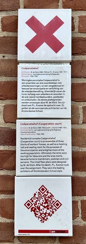
1. Coöperatiehof (Cooperation court) Marker

Coöperatiehof
Architecten M. de Klerk (1884-1923) en PL. Kramer (1881-1961)
Opdrachtgever woningbouwvereniging De Dagerand
Bouwjaren 1926-1928
Woningbouwcomplex Cooperatiehof is een ensemble van drie woonblokken met arbeiderswoningen, en een vergaderzaal en leeszaal ter emancipatie en verlichting van de arbeidersbevolking. Uiteindelijk waren de huren te hoog voor arbeiders en woonden in de wijk vooral trambestuurders, postbodes en ambtenaren. De eerste plattegronden werden ontworpen door M. de Klerk. Na zijn dood nam P.L. Kramer de opdracht over. Zij gelden als de voornaamste architecten van de Amsterdamse School.
Architects M. de Klerk (1884-1923) and P.L. Kramer (1881-1961)
Commissioned by woningbouwvereniging De Dagerad (housing association)
Years of construction 1926-1928
Residential complex Cooperatiehof (Cooperation court) is an ensemble of three blocks of workers' houses, as well as a meeting hall and reading room for the purposes of the emancipation and enlightenment of the working population. Ultimately the rents were too high for labourers
this page online
Erected by IAmsterdam.
Topics and series. This historical marker is listed in this topic list: Architecture. In addition, it is included in the IAmsterdam series list.
Location. 52° 21.033′ N, 4° 53.992′ E. Marker is in Amsterdam, Noord-Holland (North Holland). It is in De Pijp. It is at the intersection of Burgemeester Tellegenstraat and Talmastraat, on the right when traveling south on Burgemeester Tellegenstraat. Touch for map. Marker is in this post office area: Amsterdam, Noord-Holland 1073 JP, Netherlands. Touch for directions.

Regionally, it is in Europe, the European Union, Atlantic Europe, the Benelux Low Countries, the Schengen Area, Western Europe, and the Western World. Historically, it finds itself in what was once the Holy Roman Empire.
Other nearby markers. At least 8 other markers are within walking
Photographed by Andrew Ruppenstein, June 17, 2023
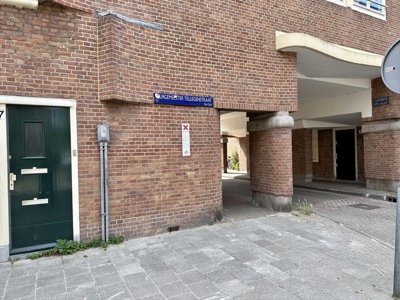
2. Coöperatiehof (Cooperation court) Marker - wide view
Photographed by Andrew Ruppenstein, June 17, 2023
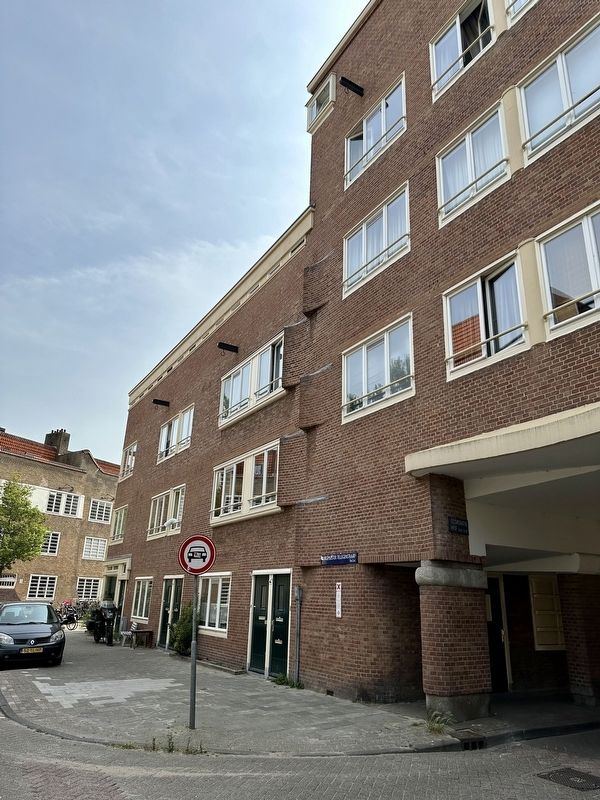
3. Coöperatiehof (Cooperation court) Marker - wide view
Credits. This page was last revised on December 31, 2023. It was originally submitted on August 1, 2023, by Andrew Ruppenstein of Lamorinda, California. This page has been viewed 173 times since then and 28 times this year. Photos: 1, 2, 3. submitted on August 1, 2023, by Andrew Ruppenstein of Lamorinda, California.
