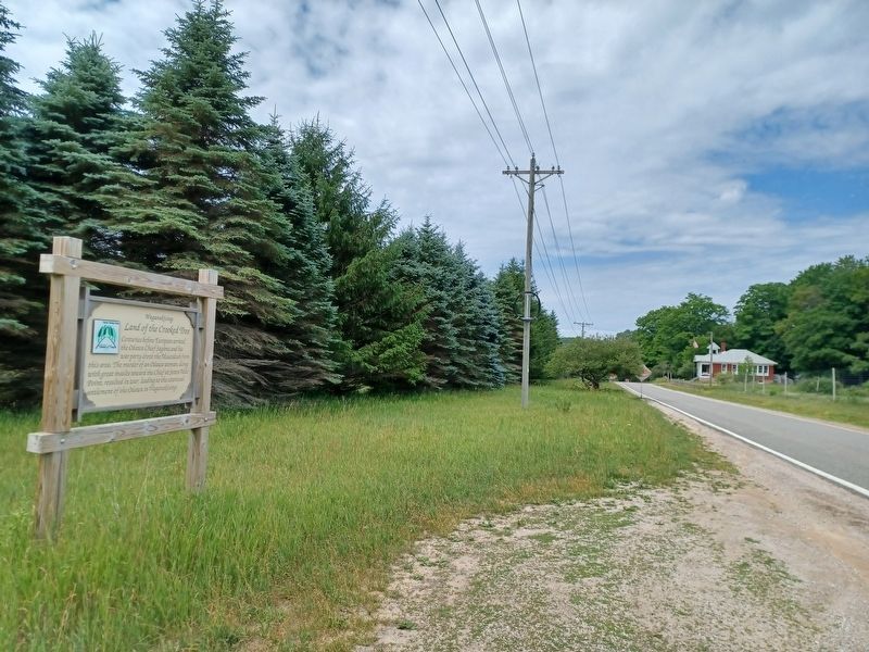
West Traverse Township near Harbor Springs in Emmet County, Michigan — The American Midwest (Great Lakes)
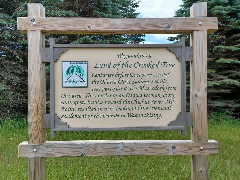
Land of the Crooked Tree
Waganakising
— M-119 Tunnel of Trees Scenic Heritage Route —
Centuries before European arrival, the Odawa Chief Sagima and his war party drove the Muscodesh from this area. The murder of an Odawa woman, along with great insults toward the Chief at Seven Mile Point, resulted in war, leading to the eventual settlement of the Odawa in Waganakising.
Topics. This historical marker is listed in this topic list: Native Americans.
Location. 45° 28.296′ N, 85° 3.585′ W. Marker is near Harbor Springs, Michigan, in Emmet County. It is in West Traverse Township. Marker is on State Highway M-119, 0.3 miles east of Five Mile Creek Road. Touch for map. Marker is in this post office area: Harbor Springs MI 49740, United States of America. Touch for directions.
Other nearby markers. At least 8 other markers are within 7 miles of this marker, measured as the crow flies. World Wars Memorial (approx. 4˝ miles away); GR&I Railroad Depot (approx. 4˝ miles away); Andrew J. Blackbird House / Makade Binisii Wegamik (approx. 4.6 miles away); Andrew J. Blackbird / Mack-e-te-be-nesey (approx. 4.6 miles away); Ephraim Shay (approx. 4.6 miles away); Devil's Elbow (approx. 5.7 miles away); Middle Village (approx. 6.1 miles away); St. Ignatius of Loyola Church and Cemetery (approx. 6.2 miles away). Touch for a list and map of all markers in Harbor Springs.
Credits. This page was last revised on August 1, 2023. It was originally submitted on August 1, 2023, by Joel Seewald of Madison Heights, Michigan. This page has been viewed 76 times since then and 24 times this year. Photos: 1, 2. submitted on August 1, 2023, by Joel Seewald of Madison Heights, Michigan.

