Plain in Sauk County, Wisconsin — The American Midwest (Great Lakes)
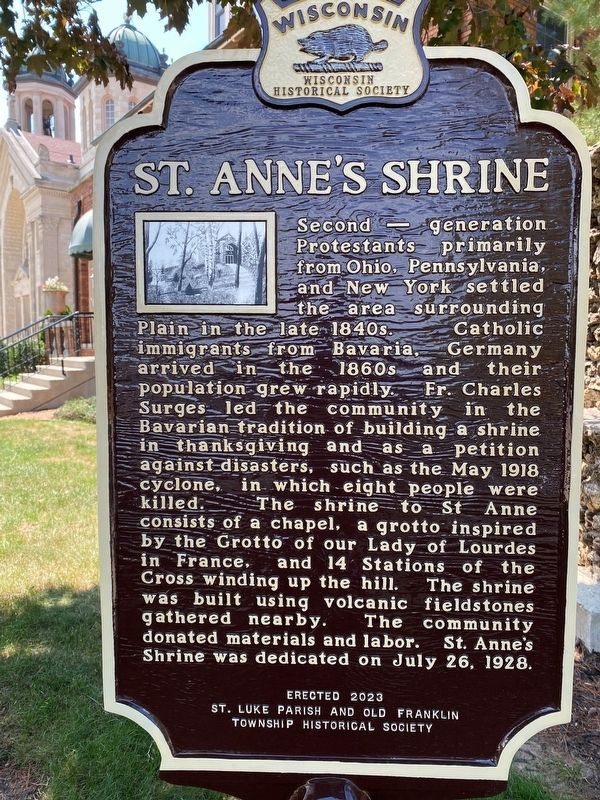
St. Anne’s Shrine
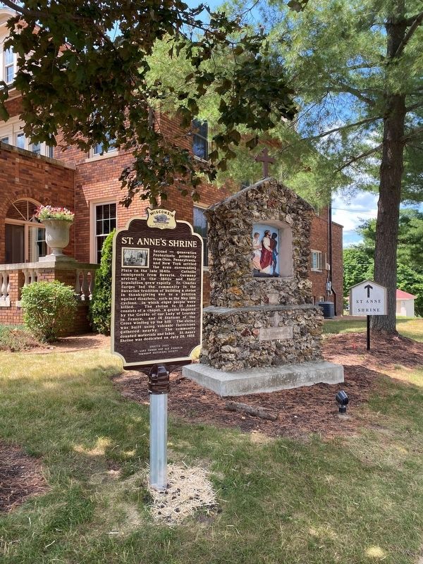
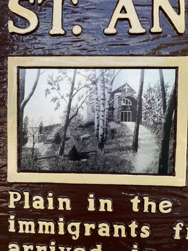
Second-generation Protestants primarily from Ohio, Pennsylvania, and New York settled the area surrounding Plain in the late 1840s. Catholic immigrants from Bavaria, Germany arrived in the 1860s and their population grew rapidly. Fr. Charles Surges led the community in the Bavarian tradition of building a shrine in thanksgiving and as a petition against disasters, such as the May 1918 cyclone, in which eight people were killed. The shrine to St. Anne consists of a chapel, a grotto inspired by the Grotto of our Lady of Lourdes in France, and 14 Stations of the Cross winding up the hill. The shrine was built using volcanic fieldstones gathered nearby. The community donated materials and labor. St. Anne’s Shrine was dedicated on July 26, 1928.
Erected 2022
St. Luke Parish and Old Franklin Township Historical Society
Erected 2023 by St. Luke Catholic Church and Old Franklin Township Historical Society. (Marker Number 605.)
Topics and series. This historical marker is listed in these topic lists: Churches & Religion • Disasters • Immigration • Settlements & Settlers. In addition, it is included in the Wisconsin Historical Society series list. A significant historical month for this entry is May 1918.
Location. 43° 16.6′ N, 90° 2.954′ W. Marker is in Plain, Wisconsin, in Sauk County. Touch for map. Marker is at or near this postal address: 1270 Nachriner Avenue, Plain WI 53577, United States of America. Touch for directions.
Other nearby markers. At least 8 other markers are within 9 miles of this marker, measured as the crow flies. White Mound Settlement (approx. 4.7 miles away); White Mound (approx. 5.9 miles away); Western Escape (approx. 6.1 miles away); Natural Bridge State Park (approx. 7.7 miles away); Frank Lloyd Wright (approx. 8.1 miles away); Shot Tower (approx. 8.8 miles away); Site of Old Helena (approx. 8.9 miles away); Tower Hill State Park (approx. 8.9 miles away).
Credits. This page was last revised on August 24, 2023. It was originally submitted on August 1, 2023, by Fitzie Heimdahl of Eau Claire, Wisconsin. This page has been viewed 590 times since then and 72 times this year. Photos: 1, 2, 3. submitted on August 1, 2023, by Fitzie Heimdahl of Eau Claire, Wisconsin. • J. Makali Bruton was the editor who published this page.


