St. Augustine Shores in St. Johns County, Florida — The American South (South Atlantic)
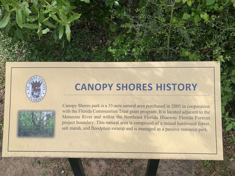
Canopy Shores History
Erected by St. Johns County.
Topics. This historical marker is listed in this topic list: Parks & Recreational Areas. A significant historical year for this entry is 2005.
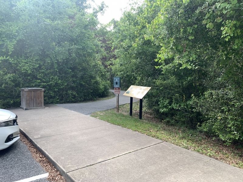
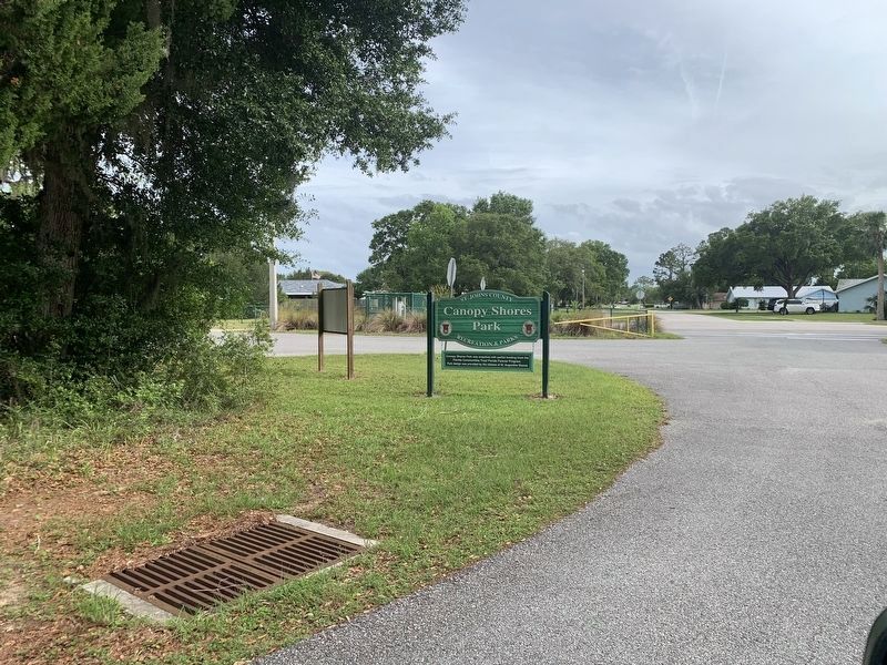
Location. 29° 48.736′ N, 81° 17.968′ W. Marker is in St. Augustine, Florida, in St. Johns County. It is in St. Augustine Shores. Marker can be reached from the intersection of Christina Drive and Gilda Drive. Marker is located in the parking area of Canopy Shores Park. Touch for map. Marker is at or near this postal address: 804 Christina Drive, Saint Augustine FL 32086, United States of America. Touch for directions.
Other nearby markers. At least 8 other markers are within 3 miles of this marker, measured as the crow flies. A different marker also named Canopy Shores History (within shouting distance of this marker); Frank B. Butler (approx. 2.6 miles away); 5480 Atlantic View (approx. 2.7 miles away); VFW Memorial (approx. 3 miles away); a different marker also named Frank B. Butler (approx. 3 miles away); Butler's Beach (approx. 3 miles away); a different marker also named Butler's Beach (approx. 3 miles away); Veterans Memorial (approx. 3.1 miles away). Touch for a list and map of all markers in St. Augustine.
Credits. This page was last revised on December 2, 2023. It was originally submitted on August 1, 2023, by Tim Fillmon of Webster, Florida. This page has been viewed 50 times since then and 13 times this year. Photos: 1, 2, 3. submitted on August 1, 2023, by Tim Fillmon of Webster, Florida.


