Rione X Campitelli in Roma in Città metropolitana di Roma Capitale, Latium, Rome, Italy — Central Italy (Tyrrhenian Coast)
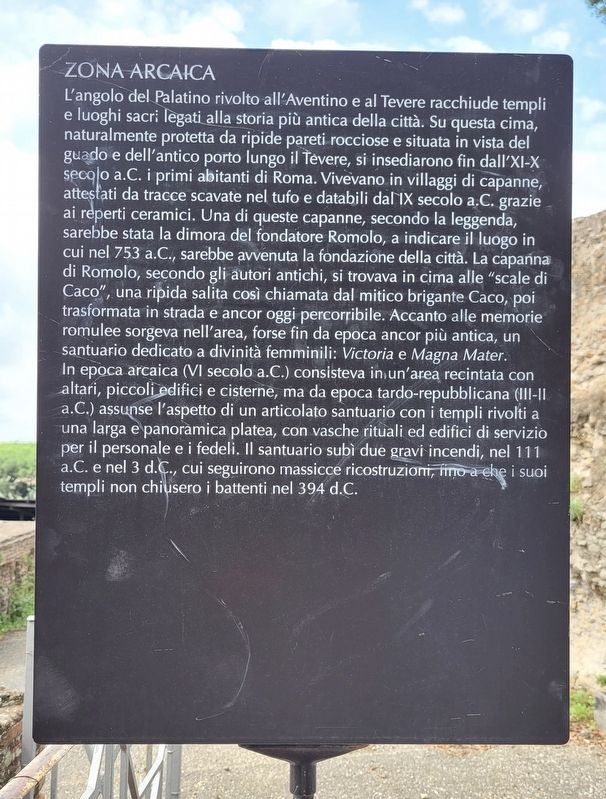
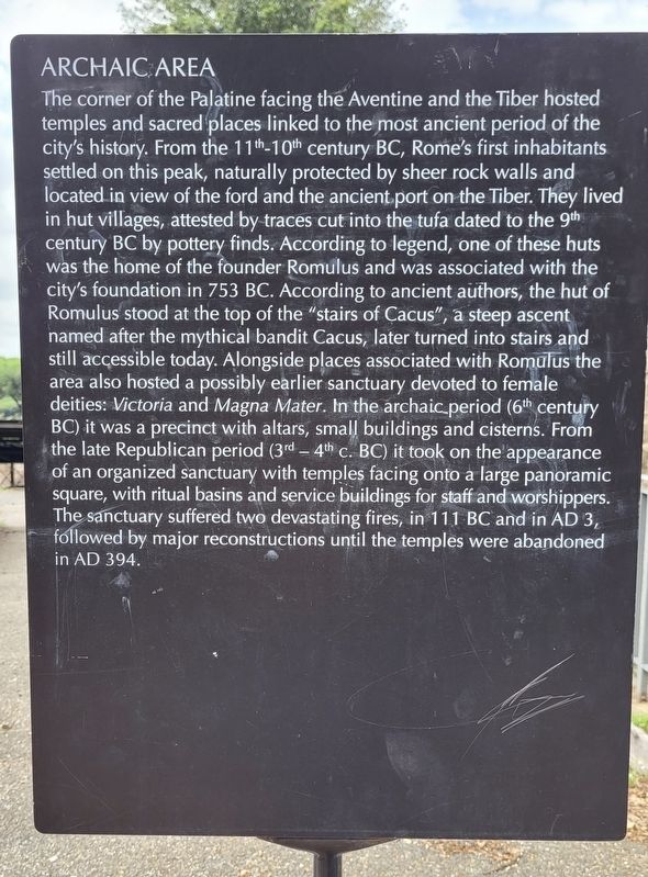
Zona Arcaica / Archaic Area
English:
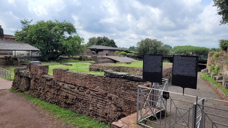
The corner of the Palatine facing the Aventine and the Tiber hosted temples and sacred places linked to the most ancient period of the city's history. From the 11th-10th century BC, Rome's first inhabitants settled on this peak, naturally protected by sheer rock walls and located in view of the ford and the ancient port on the Tiber. They lived in hut villages, attested by traces cut into the tufa dated to the 9th century BC by pottery finds. According to legend, one of these huts was the home of the founder Romulus and was associated with the city's foundation in 753 BC. According to ancient authors, the hut of Romulus stood at the top of the "stairs of Cacus", a steep ascent named after the mythical bandit Cacus, later turned into stairs and still accessible today. Alongside places associated with Romulus the area also hosted a possibly earlier sanctuary devoted to female deities: Victoria and Magna Mater. In the archaic period (6th century BC) it was a precinct with altars, small buildings and cisterns. From the late Republican period (3rd-4th c. BC) it took on the appearance of an organized sanctuary with temples facing onto a large panoramic square, with ritual basins and service buildings for staff and worshippers. The sanctuary suffered two devastating fires, in 111 BC and in AD 3, followed by major reconstructions until the temples were abandoned in AD 394.
Topics. This historical marker is listed in this topic list: Anthropology & Archaeology.
Location. 41° 53.379′ N, 12° 29.112′ E. Marker is in Roma, Lazio (Latium, Rome), in Città metropolitana di Roma Capitale. It is in Rione X Campitelli. Marker is at the intersection of Via Sacra and Via Nova on Via Sacra. The marker is located south of the Arch of Titus in the park at Palatine Hill. Touch for map. Marker is in this post office area: Roma, Lazio 00186, Italy. Touch for directions.
Other nearby markers. At least 8 other markers are within walking distance of this marker. Palatino: Alle Origini del Sacro / The Palatin Hills: the Origins of the Sacred (a few steps from this marker); Ambienti Di Servizio / Service Rooms (a few steps from this marker); Tempietto / Small Temple (within shouting distance of this marker); Cisterne Arcaiche / Archaic Cisterns (within shouting distance of this marker); Tempio di Victoria / Temple of Victoria (within shouting distance of this marker); Tempio della Magna Mater / Temple of Magna Mater (within shouting distance of this marker); Villaggio di Capanne / Hut Village (within shouting distance of this marker); Complesso Santuariale e Domestico Augusteo / Augustan Sanctuary and Residential Complex (within shouting distance of this marker). Touch for a list and map of all markers in Roma.
More about this marker. The marker is located in the Parco Archeologico del Colosseo (Roman Forum Archaeological Park) and it does require an entry fee to visit.
Also see . . . Parco Archeologico del Colosseo. Roma Turismo (Submitted on August 2, 2023, by James Hulse of Medina, Texas.)
Credits. This page was last revised on August 2, 2023. It was originally submitted on August 2, 2023, by James Hulse of Medina, Texas. This page has been viewed 42 times since then and 7 times this year. Photos: 1, 2, 3. submitted on August 2, 2023, by James Hulse of Medina, Texas.


