Allendale in Allendale Charter Township in Ottawa County, Michigan — The American Midwest (Great Lakes)
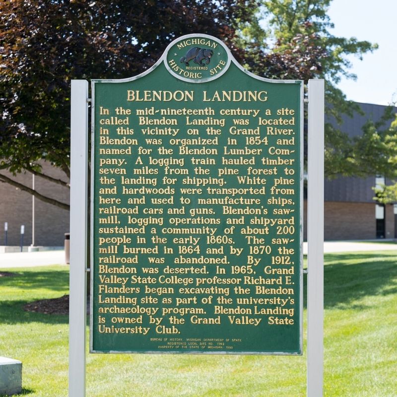
Blendon Landing
Erected 1990 by Bureau of History, Michigan Department of State. Property of the State of Michigan. (Marker Number 1740.)
Topics and series. This historical marker is listed in these topic lists: Anthropology & Archaeology • Industry & Commerce • Natural Resources. In addition, it is included in the Michigan Historical Commission series list. A significant historical year for this entry is 1854.
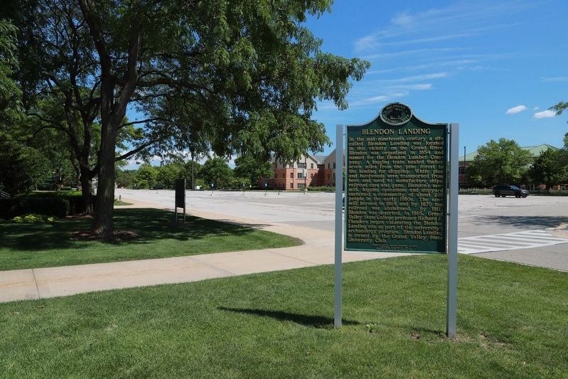
Location. 42° 57.671′ N, 85° 53.196′ W. Marker is in Allendale Charter Township, Michigan, in Ottawa County. It is in Allendale. Marker is on Calder Drive. It is at Grand Valley State University, next to Lake Michigan Hall, facing the parking lot. Touch for map. Marker is at or near this postal address: Lake Michigan Hall, 4069 Calder Dr, Allendale MI 49401, United States of America. Touch for directions.
Other nearby markers. At least 8 other markers are within 11 miles of this marker, measured as the crow flies. Jenison Museum (approx. 6.6 miles away); Interurban Depot (approx. 7½ miles away); Charles W. Westover (approx. 7½ miles away); President Gerald R. Ford, Jr. - Distinguished Eagle Scout (approx. 9 miles away); Villa Maria (approx. 9.6 miles away); Jamestown (approx. 9.7 miles away); Jamestown Veterans Park (approx. 9.7 miles away); 1869 Vriesland Reformed Church / 1869 Vriesland Reformed Church Building (approx. 10.7 miles away).
Also see . . .
1. . 1997 article in The Michigan Archaeologist Volume 43 by Carl J. Bajema and Janet G. Brashler. Exceerpt:
The original plan was to dump the pine logs from railroad cars into the Grand River where they could be rafted downstream and sawed by the Norton sawmill at Nortonville, just upstream from Spring Lake then known as Mill Point. The original plan was abandoned after a year and one of the largest sawmills on the Grand River was built at Blendon Landing. A ship building/repair yard was added by the end of 1860. Blendon Landing was now the terminus of a logging railroad, the site of a large sawmill and small shipbuilding/repair yard. Blendon Landing began dying in 1864 when its sawmill burned. lt was well on its way to becoming a ghost town by 1870. The sole reason for its existence—the timber tributary to the logging railroad—had been cut.(Submitted on August 3, 2023.)
2. Former logging hub Blendon Landing is archaeology site for GVSU. 2011 article in MLive.com. Excerpt:
The village has been an archaeological dig site on campus for university students since the mid-1960s, when Richard “Doc” Flanders began excavating the logging town and its Ottawa County railroad line, which researchers believe was a first of its kind in the nation.(Submitted on August 3, 2023, by J. J. Prats of Powell, Ohio.)
A historical marker placed outside Lake Michigan Hall in 1990 tells of a company town perched high atop a bluff. The town, with about 200 residents, featured cabins, a boarding house, a store, a school, a blacksmith shop, a saloon and an icehouse during its heyday.
Credits. This page was last revised on August 3, 2023. It was originally submitted on August 3, 2023, by J. J. Prats of Powell, Ohio. This page has been viewed 119 times since then and 61 times this year. Photos: 1, 2. submitted on August 3, 2023, by J. J. Prats of Powell, Ohio.

