Greeneville in Greene County, Tennessee — The American South (East South Central)
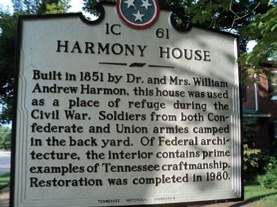
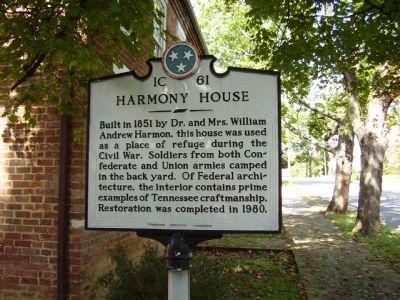
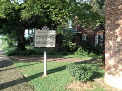
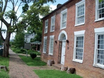
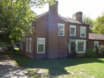
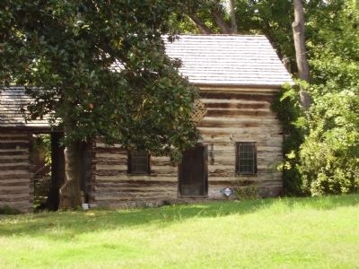
Harmony House
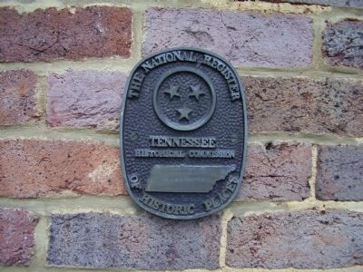
Erected by Tennessee Historical Commission. (Marker Number 1C 61.)
Topics and series. This historical marker is listed in these topic lists: Notable Buildings • War, US Civil. In addition, it is included in the Tennessee Historical Commission series list. A significant historical year for this entry is 1851.
Location. 36° 10.054′ N, 82° 49.71′ W. Marker is in Greeneville, Tennessee, in Greene County. Marker is on North Main Street (U.S. 11/321), on the right when traveling south. Touch for map. Marker is at or near this postal address: 322 North Main Street, Greeneville TN 37745, United States of America. Touch for directions.
Other nearby markers. At least 8 other markers are within walking distance of this marker. Robert Kerr (approx. 0.2 miles away); The Big Spring (approx. 0.2 miles away); Ellen “Nelly” VanVactor (approx. 0.2 miles away); Capitol of State of Franklin (approx. ¼ mile away); Greeneville Cumberland Presbyterian Church (approx. ¼ mile away); Winter Headquarters (approx. ¼ mile away); The Band Perry (approx. ¼ mile away); Greenville Cumberland Presbyterian Church (approx. ¼ mile away). Touch for a list and map of all markers in Greeneville.
Credits. This page was last revised on June 16, 2016. It was originally submitted on October 4, 2009, by Stanley and Terrie Howard of Greer, South Carolina. This page has been viewed 1,929 times since then and 90 times this year. Photos: 1. submitted on December 18, 2012, by Bill Coughlin of Woodland Park, New Jersey. 2. submitted on October 4, 2009, by Stanley and Terrie Howard of Greer, South Carolina. 3, 4. submitted on December 18, 2012, by Bill Coughlin of Woodland Park, New Jersey. 5. submitted on August 23, 2014, by Lisa Barnett of Jonesborough, Tennessee. 6, 7, 8. submitted on October 4, 2009, by Stanley and Terrie Howard of Greer, South Carolina. • Craig Swain was the editor who published this page.
