
Greeneville in Greene County, Tennessee — The American South (East South Central)
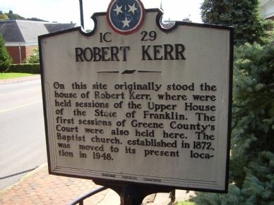
Robert Kerr
Photographed by Stanley and Terrie Howard, September 27, 2009
1. Robert Kerr Marker
Erected by Tennessee Historical Commission. (Marker Number 1C 29.)
Topics and series. This historical marker is listed in these topic lists: Religion & Religious Structures • Settlements & Settlers. In addition, it is included in the Tennessee Historical Commission series list. A significant historical year for this entry is 1872.
Location. 36° 9.927′ N, 82° 49.779′ W. Marker is in Greeneville, Tennessee, in Greene County. It is on North Main Street - Business US-11E (Tennessee Route 107), on the right when traveling south. Touch for map. Marker is at or near this postal address: 245 North Main Street, Greeneville TN 37743, United States of America. Touch for directions.

Regionally, this marker is in East Tennessee. It is also in the American South, specifically in the Upper South, in Appalachia, and specifically in Southern Appalachia.
this page online
Other nearby markers. At least 8 other markers are within walking distance of this marker: The Big Spring (within shouting distance of this marker); Ellen “Nelly” VanVactor (within shouting distance of this marker); Greeneville Cumberland Presbyterian Church (about 400 feet away, measured in a direct line); Greenville Cumberland Presbyterian Church (about 500 feet away); Capitol of State of Franklin (about 500 feet away); Death of John Morgan (about 600 feet away); General Morgan Inn (about 600 feet away); Andrew Johnson (about 600 feet away). Touch for a list and map of all markers in Greeneville.
Photographed by Stanley and Terrie Howard, September 27, 2009
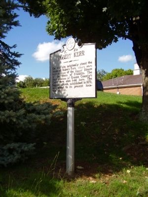
2. Robert Kerr Marker
Photographed by Bill Coughlin, August 4, 2012
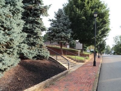
3. Robert Kerr Marker

Photographed by Stanley and Terrie Howard, September 27, 2009
4. The First Baptist Church
Credits. This page was last revised on December 15, 2019. It was originally submitted on October 4, 2009, by Stanley and Terrie Howard of Greer, South Carolina. This page has been viewed 2,755 times since then and 39 times this year. Photos: 1, 2. submitted on October 4, 2009, by Stanley and Terrie Howard of Greer, South Carolina. 3. submitted on December 18, 2012, by Bill Coughlin of Woodland Park, New Jersey. 4. submitted on October 4, 2009, by Stanley and Terrie Howard of Greer, South Carolina. • Syd Whittle was the editor who published this page.
