
Mountain Rest in Oconee County, South Carolina — The American South (South Atlantic)
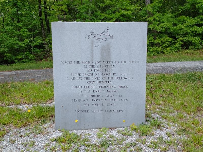
Air Force B25C Plane Crash
Photographed by Tom Bosse, May 13, 2022
1. Air Force B25C Plane Crash Marker
Across the road – 200 yards to the north is the site of an Air Force B25C plane crash on March 10, 1943 – Claiming the lives of the following crew members:
Flight Officer, Richard S. Brook
2nd Lt. Earl S. Monrow
2nd Lt. Philip J. Graziano
Staff Sgt. Harvey M. Capellman
Sgt. Michael Sekel
“Oconee County Remembers"
Topics. This memorial is listed in these topic lists: Air & Space • Disasters • War, World II. A significant historical date for this entry is March 10, 1943.
Location. 34° 57.881′ N, 83° 4.708′ W. Memorial is in Mountain Rest, South Carolina, in Oconee County. It is on State Highway 107 half a mile north of Burrells Ford Road, on the left when traveling north. Touch for map. Memorial is in this post office area: Mountain Rest SC 29664, United States of America. Touch for directions.

Regionally, this memorial is in South Carolina’s and pstate, in the Foothills, in the Golden Corner. It is also in the American South, specifically in the Deep South, in Appalachia, and specifically in Southern Appalachia. Globally, it is in North America, the Western Hemisphere, the Western World, and the Anglosphere.
this page online
Other nearby markers. At least 8 other markers are within 7 miles of this marker, measured as the crow flies: William R. Geddings Fish Culture House (approx. 1½ miles away); Walhalla State Fish Hatchery (approx. 1½ miles away); Cheowee Town (approx. 3.6 miles away); Tamassee Town (approx. 5.9 miles away); Tamassee DAR School (approx. 6.4 miles away); Josephine C. Peters — West Virginia Cottage (approx. 6½ miles away); Texas Friendship Cottage (approx. 6½ miles away); The Cherokee Path (approx. 6.6 miles away). Touch for a list and map of all markers in Mountain Rest.
Also see . . . Crew killed in 1943 Army Air Corps plane crash honored in Oconee County. Independent Mail website entry (Submitted on May 17, 2022, by Tom Bosse of Jefferson City, Tennessee.)
Via Unknown, unknown
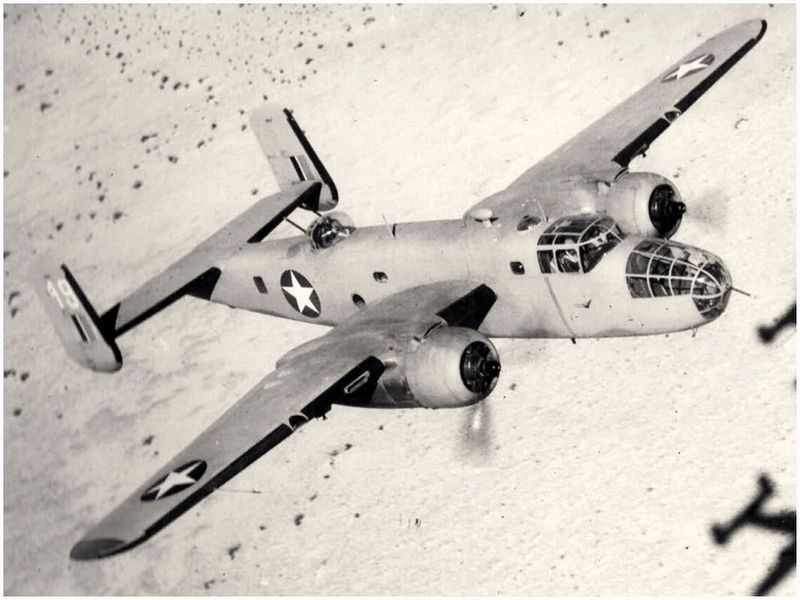
2. B25C Mitchell
Photographed by Tom Bosse, May 13, 2022
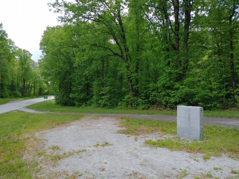
3. Air Force B25C Plane Crash Marker
Credits. This page was last revised on August 8, 2023. It was originally submitted on May 17, 2022, by Tom Bosse of Jefferson City, Tennessee. This page has been viewed 1,744 times since then and 96 times this year. Last updated on August 6, 2023, by Lee Byrd of Simpsonville, South Carolina. Photos: 1. submitted on May 17, 2022, by Tom Bosse of Jefferson City, Tennessee. 2. submitted on July 5, 2022, by Larry Gertner of New York, New York. 3. submitted on May 17, 2022, by Tom Bosse of Jefferson City, Tennessee. • Bernard Fisher was the editor who published this page.
