Ridgefield in Fairfield County, Connecticut — The American Northeast (New England)
Bootlegging and the Historical Society
Ridgefield, Connecticut
— The Museum in the Streets —

Photographed By Devry Becker Jones (CC0), August 4, 2023
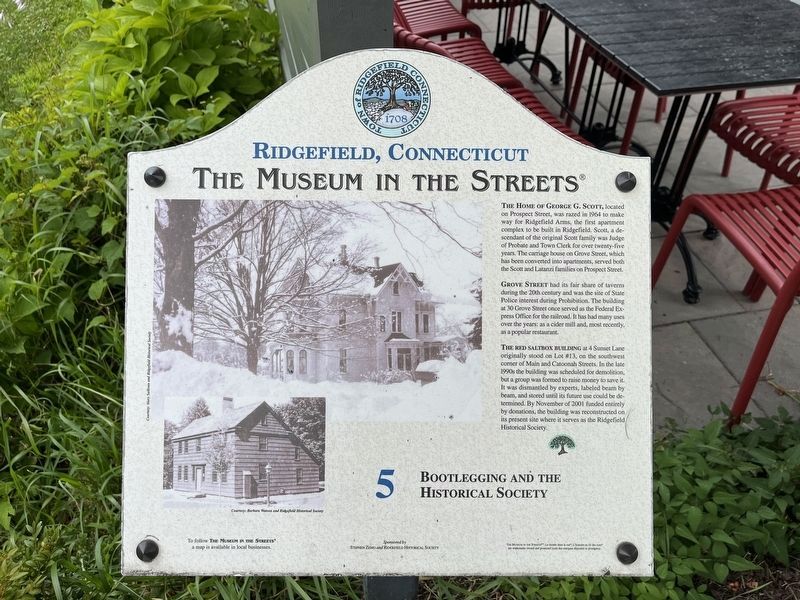
1. Bootlegging and the Historical Society Marker
The Home of George G. Scott, located on Prospect Street, was razed in 1964 to make way for Ridgefield Arms, the first apartment complex to be built in Ridgefield. Scott, a descendant of the original Scott family was Judge of Probate and Town Clerk for over twenty-five years. The carriage house on Grove Street, which has been converted into apartments, served both the Scott and Latanzi families on Prospect Street.
Grove Street had its fair share of taverns during the 20th century and was the site of State Police interest during Prohibition. The building at 30 Grove Street once served as the Federal Express Office for the railroad. It has had many uses over the years: as a cider mill and, most recently, as a popular restaurant.
The red saltbox building at 4 Sunset Lane originally stood on Lot #13, on the southwest corner of Main and Catoonah Streets. In the late 1990s the building was scheduled for demolition, but a group was formed to raise money to save it. It was dismantled by experts, labeled beam by beam, and stored until its future use could be determined. By November of 2001 funded entirely by donations, the building was reconstructed on its present site where it serves as the Ridgefield Historical Society.
Erected 2008 by The Museum in the Streets. (Marker Number 5.)
Topics and series. This historical marker is listed in these topic lists: Government & Politics • Industry & Commerce • Law Enforcement • Notable Buildings. In addition, it is included in the The Museum in the Streets®: Ridgefield, Connecticut series list. A significant historical month for this entry is November 2001.
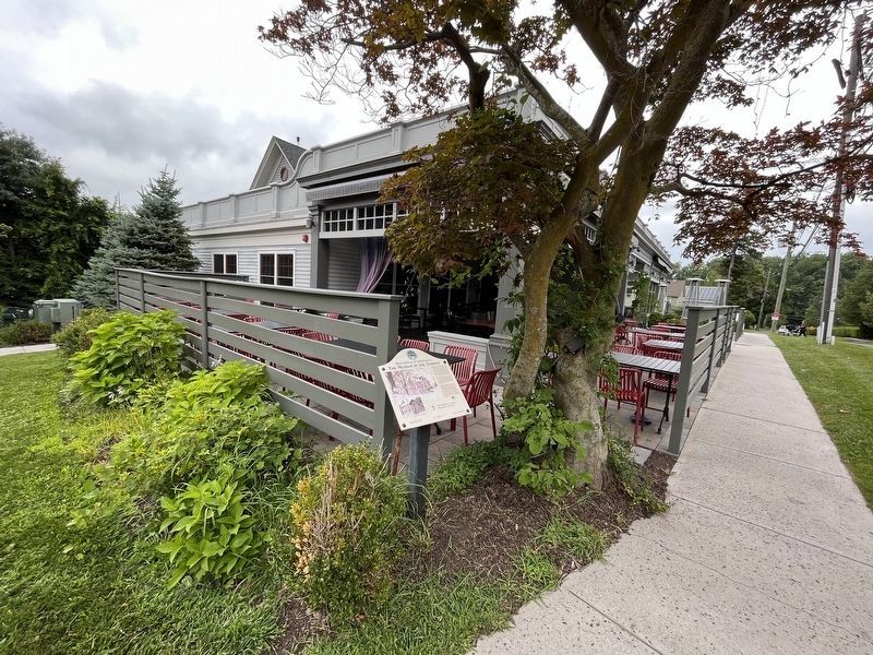
Location. 41° 17.042′ N, 73° 29.701′ W. Marker is in Ridgefield, Connecticut, in Fairfield County. Marker is at the intersection of Grove Street and Prospect Street, on the right when traveling south on Grove Street. Touch for map. Marker is at or near this postal address: 5 Grove Street, Ridgefield CT 06877, United States of America. Touch for directions.
Other nearby markers. At least 8 other markers are within walking distance of this marker. The Ridgefield Train Station (about 400 feet away, measured in a direct line); The Spotting Tower and Railroad Warehousing (approx. 0.2 miles away); Ridgefield (approx. 0.2 miles away); Smith Tavern – A Colonial Meeting Place (approx. 0.2 miles away); Main Street in the Late 1800s (approx. 0.2 miles away); Ballard Park (approx. 0.2 miles away); The Elms Inn and Stebbins Homestead (approx. 0.2 miles away); The Battle of Ridgefield (approx. 0.2 miles away). Touch for a list and map of all markers in Ridgefield.

Photographed By Devry Becker Jones (CC0), August 4, 2023
2. Bootlegging and the Historical Society Marker
Credits. This page was last revised on March 27, 2024. It was originally submitted on August 7, 2023, by Devry Becker Jones of Washington, District of Columbia. This page has been viewed 63 times since then and 21 times this year. Photos: 1, 2. submitted on August 7, 2023, by Devry Becker Jones of Washington, District of Columbia.